Get PeakVisor App
Sign In
Search by GPS coordinates
- Latitude
- ° ' ''
- Longitude
- ° ' ''
- Units of Length

Yes
Cancel
❤ Wishlist ×
Choose
Delete
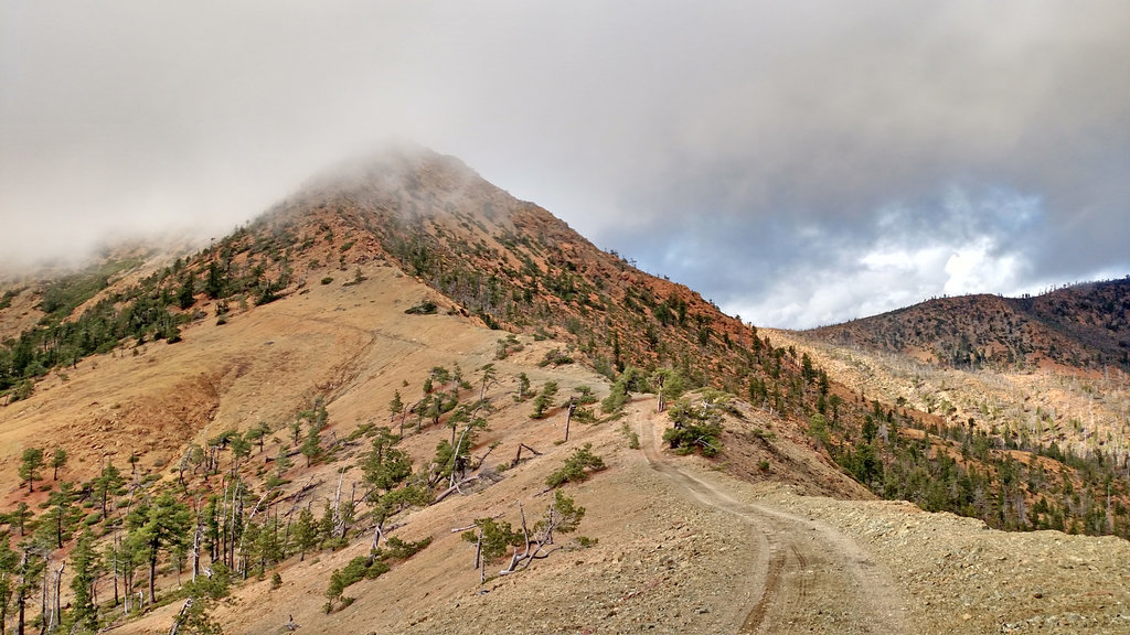
Located in southwestern Oregon, the Kalmiopsis Wilderness is rugged, remote, and breathtakingly beautiful. The wilderness lies within the Rogue River-Siskiyou National Forest and was formed in 1964. The Kalmiopsis Wilderness spans 179,755 acres throughout the national forest. The area has over 153 miles of trails.There are 23 named mountains in Kalmiopsis Wilderness. The highest and the most prominent mountain is Pearsoll Peak at 5,098 feet.
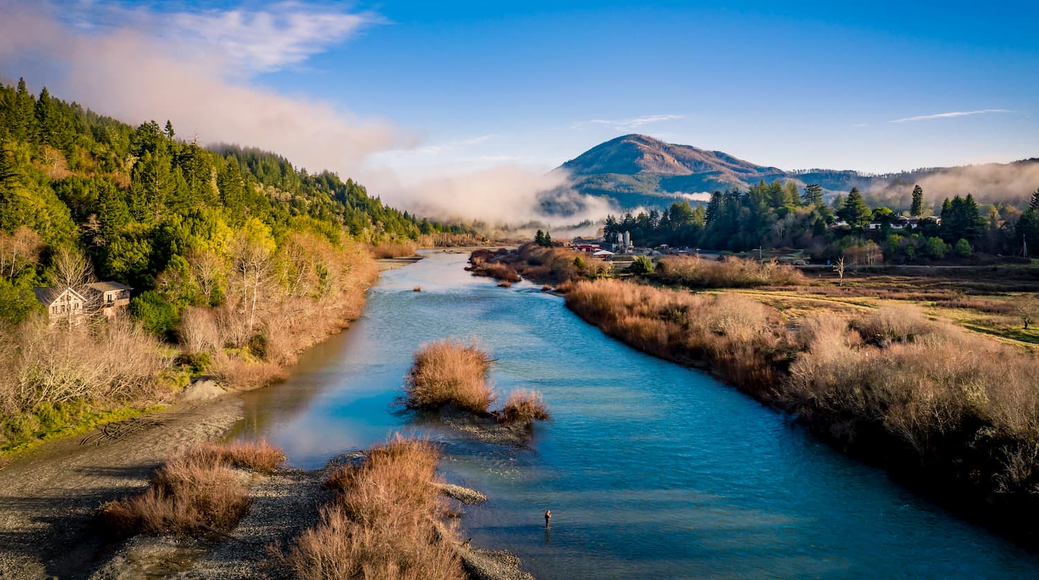
The region was named after the Kalmiopsis plant, a rare species that was found in the area in 1930. Back in 2002, lightning started what was known as the Biscuit Fire that damaged a large portion of the wilderness. Three major rivers, the Chetco, Illinois, and North Fork Smith, run through the wilderness. Each of the rivers are abundant with native salmon species and crystal-clear waters. The wilderness is known for its immense plant diversity, home to some of the rarest plants in North America. The wilderness starts just 18 miles east of the Pacific Ocean and is part of the Klamath Mountain geologic province of southwestern Oregon. Overall the Kalmiopsis Wilderness is characterized by deep rugged canyons, sharp rock ridges, and clear rushing mountain rivers.
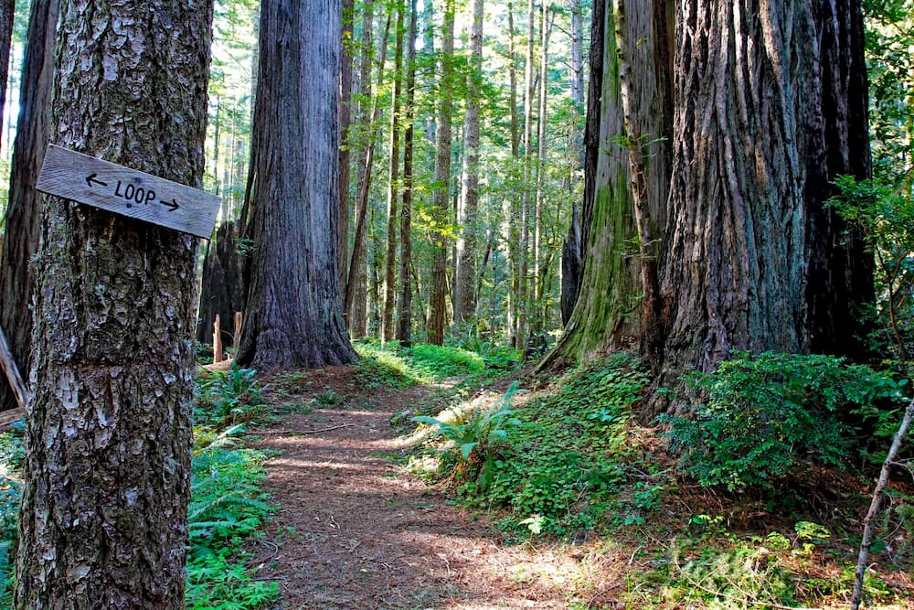
A majority of the famous Redwoods are located in northern California; however, some do span into the Kalmiopsis Wilderness. This short 1.6-mile loop has 425 feet of elevation and breathtaking views the entire way. The trail takes you through an old grove full of massive redwoods. Though it is a short hike, it is full of views that shouldn’t be missed.
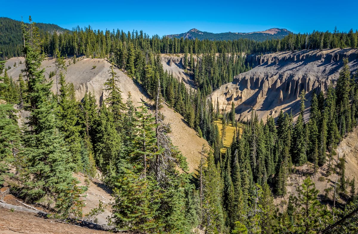
The wilderness is known for its crystal clear and impressive rivers. The Illinois River Trail is 7.5-miles out and back with 1,155 feet of elevation gain. The trial follows along the Illinois River, starting at Briggs Creek Campground and going toward Clear Creek. While there are views of the river throughout, there is an option at the turn around point to hike down to the river to take a quick swim. Marvel at the crystal-clear waters or camp for the night before heading back to the start.
While many of the trails were damaged in the Biscuit Fire back in 2002, Pearsoll Peak remained rather unharmed. As the highest point in the wilderness, the views from atop this peak are expansive. California sits 20 miles to the south while the Pacific Ocean sits 20 miles to the west. A forest service road leads up most of the mountain while the final hike up the road is approximately a mile. At the summit hikers are greeted with an old fire lookout that offers unobstructed views of the surrounding wilderness and forests.
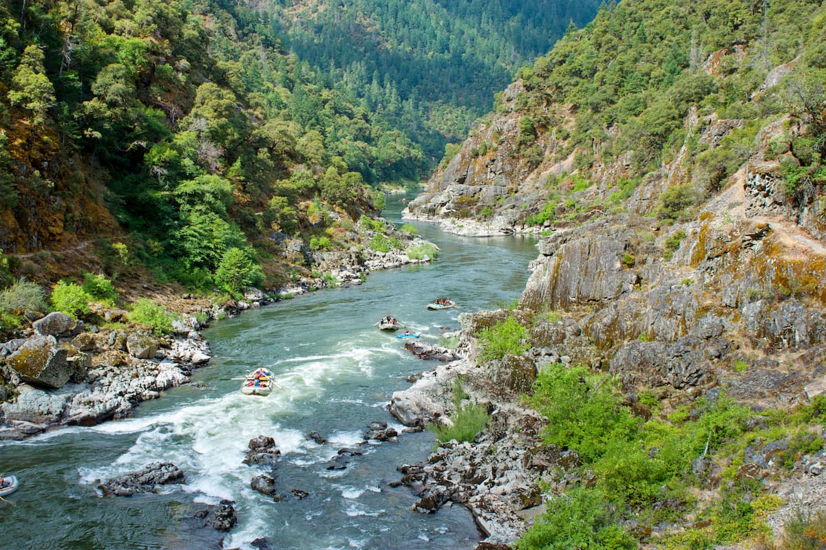
The largest nearby city to the Kalmiopsis Wilderness is Grants Pass. With a population of just over 35,000, the city sits northwest of Medford and Ashland on Interstate 5. The Rogue River runs through the city and is a popular destination for river rafting. The city is known in the United States for being the birthplace of Dutch Bros, a popular coffee chain. Grants Pass is just 35 minutes northeast of the Kalmiopsis Wilderness and the downtown area is full of shops and restaurants to explore after a day of hiking.
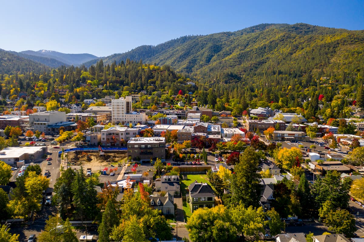
Ashland, Oregon is a city located in Southern Oregon with a population of around 21,000. The small city is known for being home to the Oregon Shakespeare Festival. The town is known for being very liberal, a sharp contrast to much of southern Oregon. Many of the city’s historical buildings have been preserved which give the downtown a quaint setting. Ashland is the perfect place to stay after a long hike in the mountains and is ideal for grabbing a bite to eat or check out a local gallery. The nearby city of Medford also has ample housing with close proximity to the surrounding mountain trails.
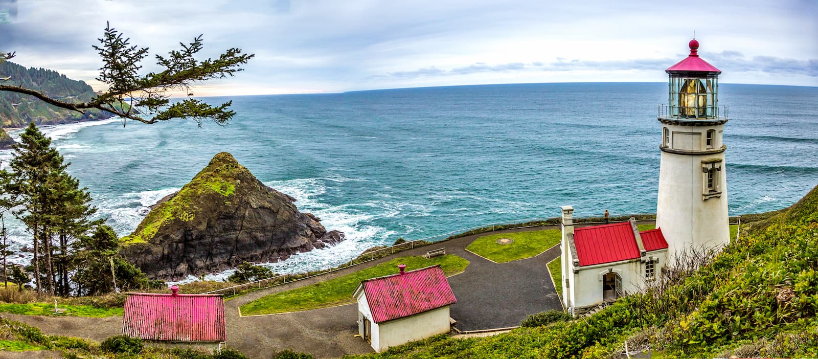
There are not any major cities along the southern Oregon coast. Instead the coastline is scattered with small towns, each with their own attractions. Many of these smaller cities have places to spend the night, stretches of sandy beach, coast cliffs, and fresh seafood. A drive up and down the Oregon coast is the perfect way to experience another attraction the state has to offer.
Explore Kalmiopsis Wilderness with the PeakVisor 3D Map and identify its summits.


