Get PeakVisor App
Sign In
Search by GPS coordinates
- Latitude
- ° ' ''
- Longitude
- ° ' ''
- Units of Length

Yes
Cancel
❤ Wishlist ×
Choose
Delete
The Helderberg Nature Reserve is a biodiverse protected area located in the Western Cape of South Africa. Helderberg Nature Reserve has 4 named mountains; the highest and most prominent is Helderberg Dome, measuring 1,137 meters (3,730 ft).
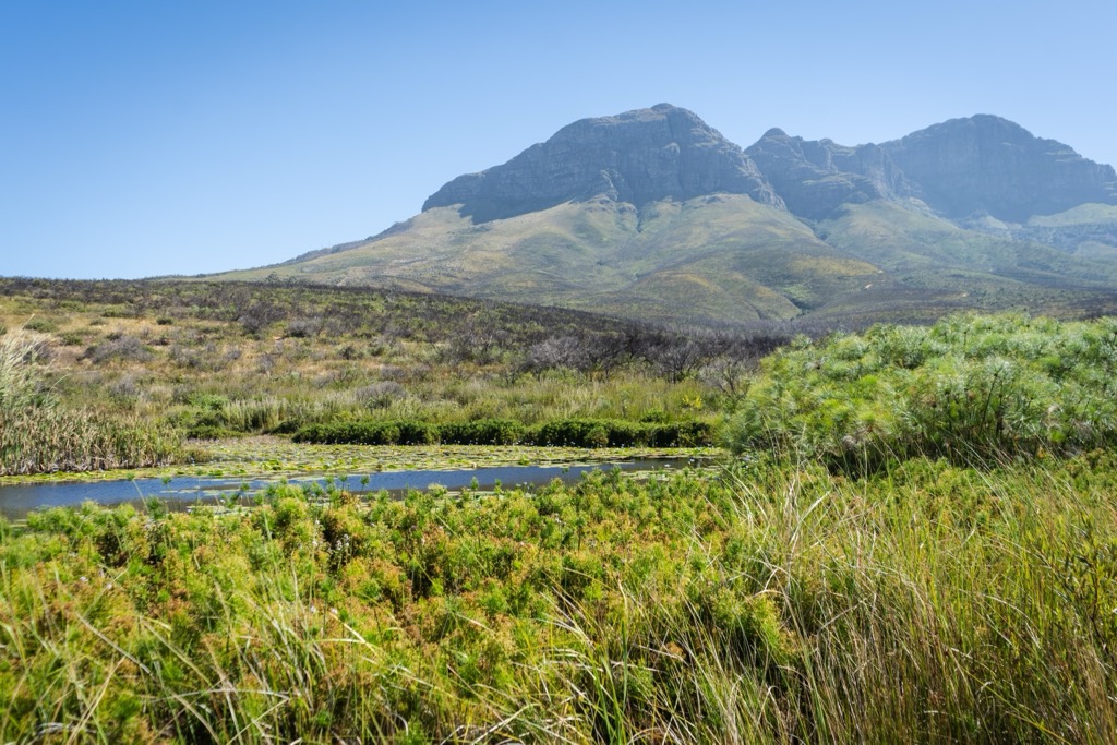
The Helderberg Nature Reserve is located near Somerset West, at the base of the Helderberg Dome, part of the Hottentots-Holland Mountains. The reserve covers 398 ha (983 ac) and is an important area for conservation, situated 10 km (6 mi) inland from False Bay in the Helderberg Basin.
The reserve features terrain ranging from steep slopes to more gentle valleys. Helderberg Dome dominates the landscape with its rocky outcrops and smaller ridges. The reserve's varying elevations create distinct micro-environments and habitats across the reserve.
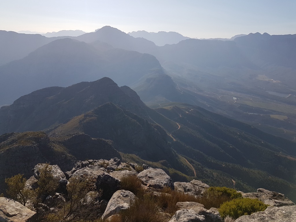
The vegetation in the reserve is primarily fynbos, a shrubland unique to the Cape Floral Kingdom. Fynbos includes species such as proteas, ericas, and restios, alongside a wide array of flowering plants adapted to the region's Mediterranean climate of hot, dry summers and mild, wet winters. The area also includes patches of indigenous forest and grassland.
Seasonal streams and watercourses run through the reserve, fed by rainfall from the surrounding mountains. These water features support a variety of plant and animal species, contributing to the reserve's ecological significance.
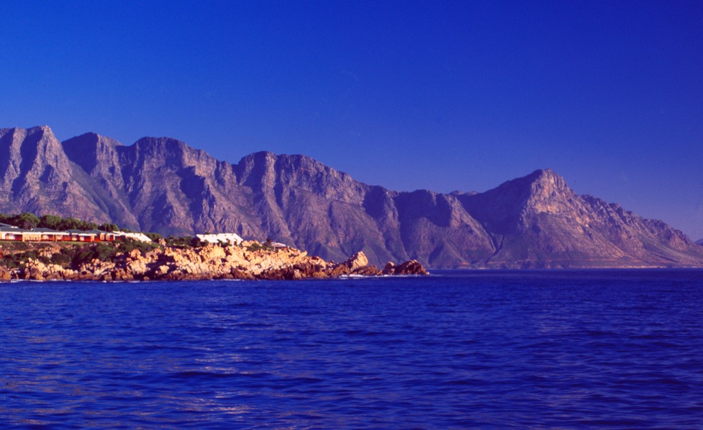
The Helderberg Nature Reserve features sedimentary rocks of the Cape Supergroup formed 500 to 600 million years ago. Its stratigraphy includes resistant quartzitic sandstones of the Table Mountain Group, softer shales, mudstones from deeper marine deposits, and conglomerates indicating high-energy river systems.
Tectonic activity during the Paleozoic era folded and faulted these layers, creating the Helderberg Mountain’s ridges and valleys. Fossils such as brachiopods and trilobites in the shales reveal its marine origins. Erosion continues to shape the landscape, with sandstone forming cliffs and softer rocks giving rise to valleys.
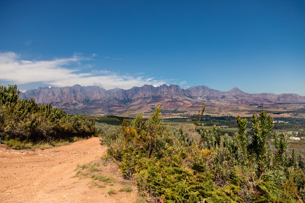
The Helderberg Nature Reserve is crucial for biodiversity conservation. It is dominated by Fynbos, a unique Cape Floristic Region vegetation type, along with Renosterveld and Afromontane forest patches. The reserve is home to many endemic and rare plant species, supporting vibrant seasonal floral displays.
The reserve hosts wildlife like grey rhebok, duiker, and cape mountain zebra, as well as over 150 bird species, such as black eagles and Cape sugarbirds. Reptiles, amphibians, and a wide variety of insects also thrive within its ecosystems.
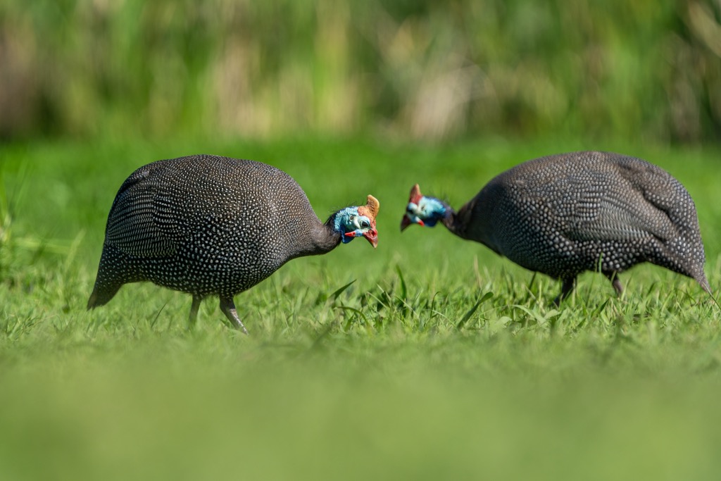
The Khoi and San peoples originally inhabited the reserve and lived there for thousands of years before European settlers arrived. These indigenous communities were skilled hunter-gatherers and herders, relying on the land’s natural resources for sustenance.

In 1652, Dutch settlers established the Cape Colony, which marked the beginning of European colonization. As the colony expanded, the Khoi and San were displaced, and the land around the Helderberg was developed for farming. The region became known for its vineyards and orchards, which grew during the 19th century as the area urbanized, particularly with the growth of Somerset West.
In 1986, the City of Cape Town established the Helderberg Nature Reserve to protect the region’s rich biodiversity. The reserve was created to safeguard the unique fynbos vegetation and wildlife of the Cape Floristic Region, a globally recognized biodiversity hotspot.
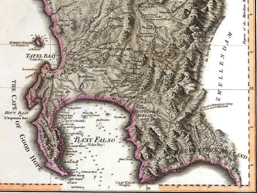
Today, the reserve is home to various plant species, including many endemic to the region, as well as diverse animal life, such as antelope, birds, and smaller mammals. It is also a site for environmental research and public education, hosting programs that raise awareness about the importance of biodiversity and ecological preservation.
The Pink Route in the Helderberg Nature Reserve is a challenging hike with two routes: the West Peak and The Dome, both leading to the top of Helderberg Dome. The West Peak route is 7 km (4 mi) and ascends the slopes of the reserve’s second-highest hill, West Peak. It involves significant elevation gain and offers views of Helderberg Dome, Central Peaks, and Porcupine Buttress. The Dome route is 8 km (5 mi). It is also strenuous, with steep ascents and descents, and some sections require scrambling.
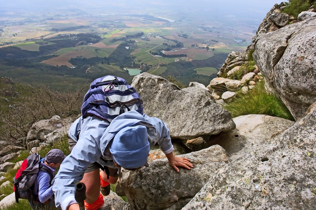
The Leopard Loop spans 8 km (5 mi) long and features an elevation gain of about 533 meters (1,748 feet). The trail is well-known for its scenery, which includes views of Gordon’s Bay. Hikers traverse a mix of forested areas, rocky sections, and open landscapes. The Leopard Loop is also popular for its rich biodiversity and wide variety of plant and animal life. Hikers are advised to start the trail clockwise, as the initial ascent can be quite steep if tackled in the opposite direction.
Woodies Walk is 10 km (6 mi) long and features an elevation gain of 829 meters (2,720 ft), making it a demanding hike. The trail begins at the upper parking area near the Enviro Centre and follows an out-and-back route. Hikers traverse various terrains and encounter views of the surrounding mountains of West Peak, Porcupine Buttress, and Spook Hill. The diverse flora and fauna along the trail add to the overall appeal, with opportunities to spot wildlife and enjoy the reserve's natural beauty.
The Protea Trail is a moderately challenging 6 km (4 mi) loop with an elevation gain of 338 meters (1,108 ft). Hikers will encounter a variety of proteas, which are native to the region and bloom along the trail. The path is well-marked and maintained, making it accessible for most hikers, though it can be a bit steep and rocky in places. One of the highlights of the Protea Trail is the rich biodiversity of the Helderberg Nature Reserve. Hikers will observe a wide range of plant and animal life; however, there is little to no shade along the trail as it traverses open grasslands.
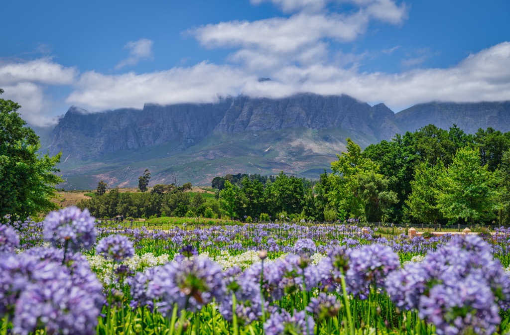
Somerset West is a small town in the Western Cape, located between the Helderberg Mountains and False Bay, and is situated 50 km (31 mi) east of Cape Town.
Somerset West is part of the Cape Winelands and is popular for wine tasting. The Vergelegen Wine Estate is one of the top estates in the area, offering wine tastings, garden tours, and picnics with stunning views.
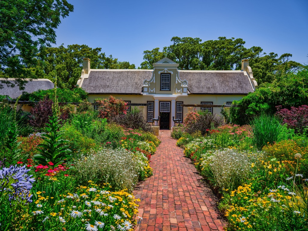
A short drive from Somerset West is the biodiverse Kogelberg Nature Reserve. The reserve offers walking trails, birdwatching, and the chance to explore the unique fynbos vegetation.
The area is also known for its beaches, which are just a short drive away. Gordon’s Bay Beach and Strand Beach are ideal for swimming, sunbathing, and water sports like kite surfing and windsurfing due to warm waters and consistent winds.
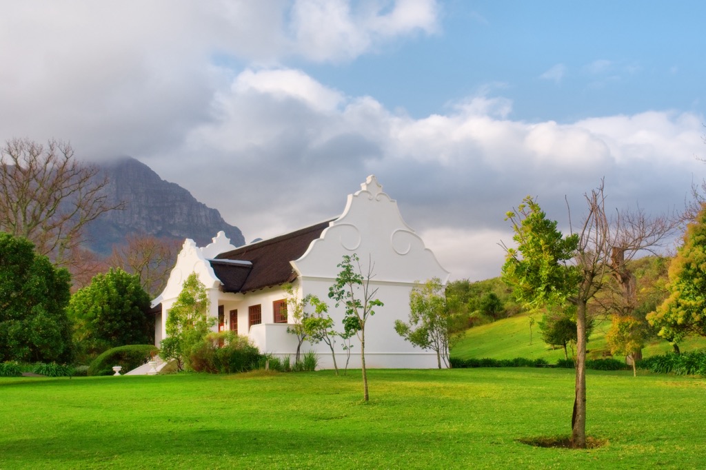
Stellenbosch is one of South Africa's oldest towns, founded in 1679. The town is famous for its well-preserved Cape Dutch architecture, oak-lined streets, and its location in the Cape Winelands.
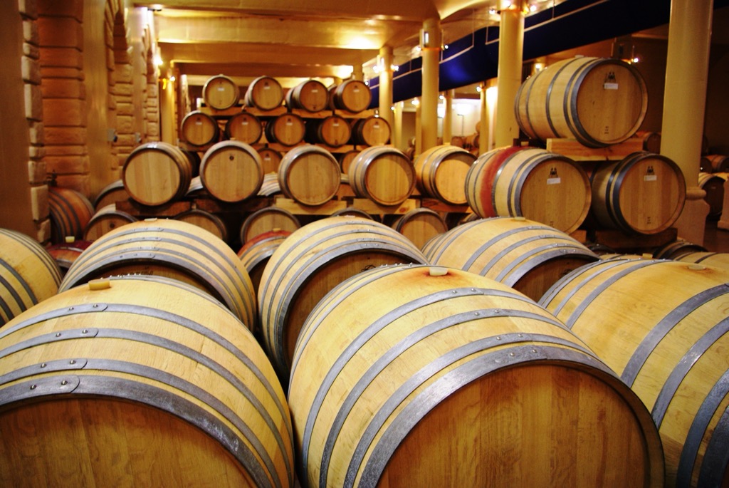
Stellenbosch is a key destination for wine lovers, with numerous wine estates offering tastings and tours. Visitors can explore vineyards, learn about the winemaking process, and enjoy tastings at renowned estates like Spier, Tokara, and Delaire Graff.
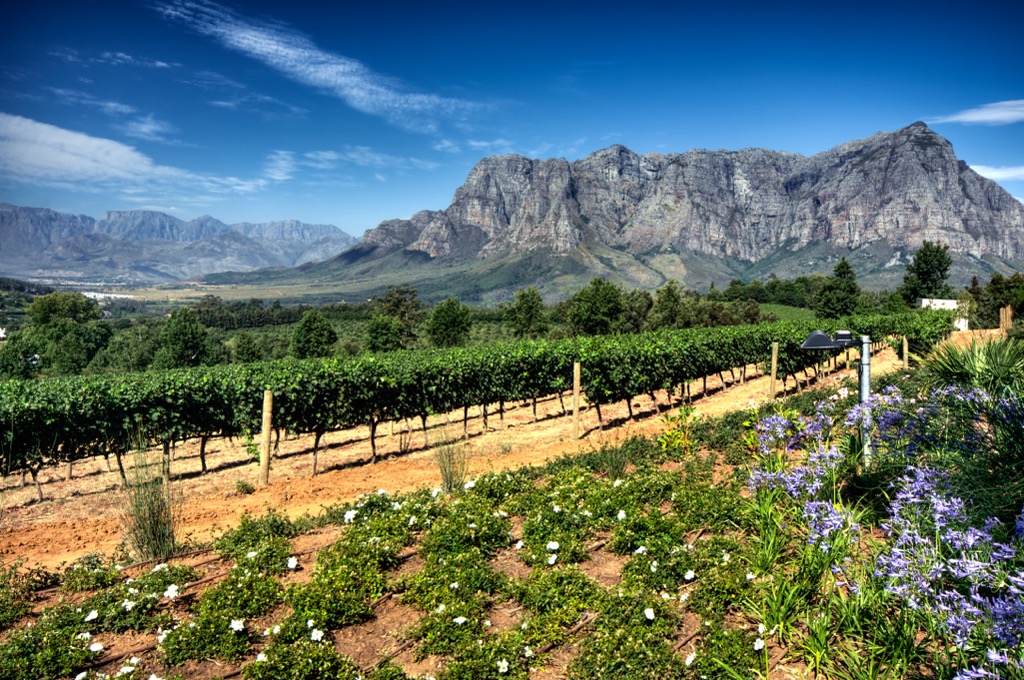
Jonkershoek Nature Reserve, located just outside Stellenbosch, offers a range of hiking and mountain biking trails. Trails such as the Crystal Pools hike lead to swimming spots, while the Swartboskloof Trail provides a more challenging hike.
The Stellenbosch University Botanical Garden features over 4,500 plant species, including endemic South African plants. It offers a relaxed atmosphere for a stroll, with sections dedicated to medicinal plants, fynbos, and succulents.
Explore Helderberg Nature Reserve with the PeakVisor 3D Map and identify its summits.


