
Scan the QR code and open PeakVisor on your phone
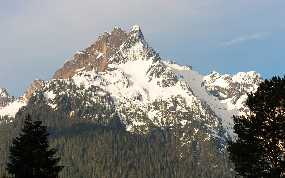
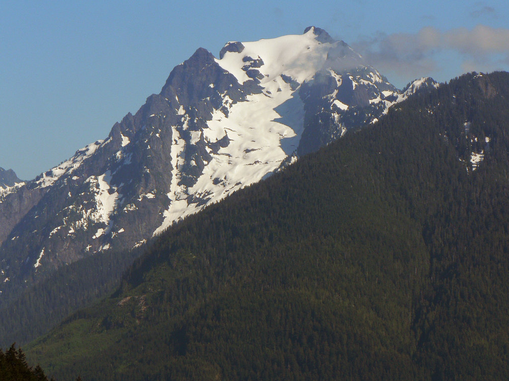
Boulder River Wilderness has 16 named peaks. The highest is Whitehorse Mountain at 2,092 m. Other notable peaks include Three Fingers, Mount Bullen and Jumbo Mountain.
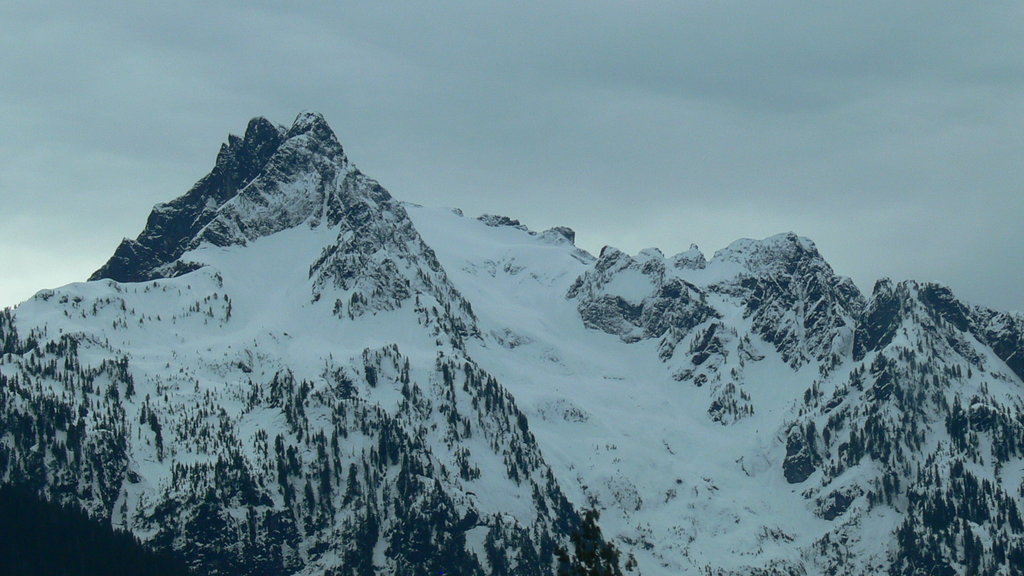
The Boulder River Wilderness, which sits within the Mount Baker-Snoqualmie National Forest, is a 48,674-acre wilderness area that lies within the western Cascades. Boulder River contains both large spans of dense, old-growth forest and well-known high-altitude summits like Three Fingers and Whitehorse Mountain.
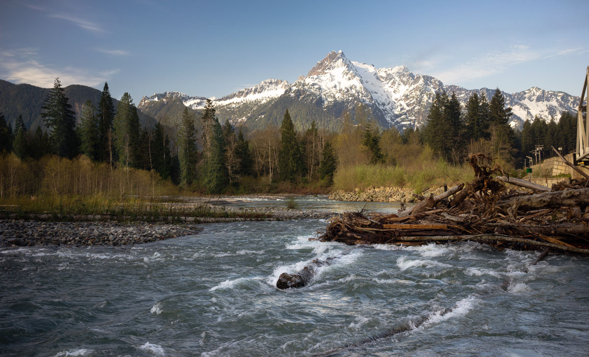
Three Fingers, in particular, stands prominently on the skyline and can be seen from the well-traveled I5. However, this peak is rather elusive and challenging to reach. Three Fingers remains a popular destination for experience backcountry hikers and climbers who have their eyes set on the saw-toothed summits in this region, like Liberty, Big Bear, Salish, and Buckeye Peaks. Also, atop one of the spires sits a historic cabin that was built in 1932. Reaching the cabin requires a dizzying ascent via a series of ladders that hug the cliffside but remains the most prized accomplishment in the Boulder River Wilderness.
Despite housing only 25 miles of trails, Boulder River is remarkably diverse. Elevations range from just 700 feet in the Boulder River Valley to nearly 7,000 feet at the summit of Three Fingers. The wilderness is not only covered in old-growth, Douglas fir, true fir, western hemlock, and western red cedar, but also contains some of the last lowland virgin forest in Washington state.
Due to the remote nature of this wilderness area, Black bears, black-tailed deer, elk, and mountain goats frequent the Boulder River region – though sightings are not necessarily frequent.
The Boulder River Trail is arguably the most popular destination for travelers to Boulder River Wilderness. Both novice and experienced hikers appreciate this gentle, forested footpath. The highlight of this trail is several cascading waterfalls, like Boulder Falls and Show Falls, as well as the trail’s namesake river - Boulder River. The Boulder River trail typically remains snow-free throughout the winter, so this is an excellent all-seasons destination for visitors who aren’t interested in tackling the high-altitude slopes of nearby summits. From the trailhead, the Boulder River trail wanders about 4.8-miles through a deep canyon and ends at a campsite.
Wandering through old-growth and ancient forest, eloquent meadows, and beyond a crystalline mountain lake, the Tin Cap Gap trail traverses a rugged ridge high above Boulder River in route to a massive glacier on Three Fingers. Offering sweeping views of Mount Pilchuck, Whitehorse Mountain, and Mount Baker along the way, the Tin Cap Gap trail spans 12 miles and climbs 2,800 feet through the heart of Boulder River. The trail to Tin Can Gap follows the South side of the ridge and is mostly above the treeline.
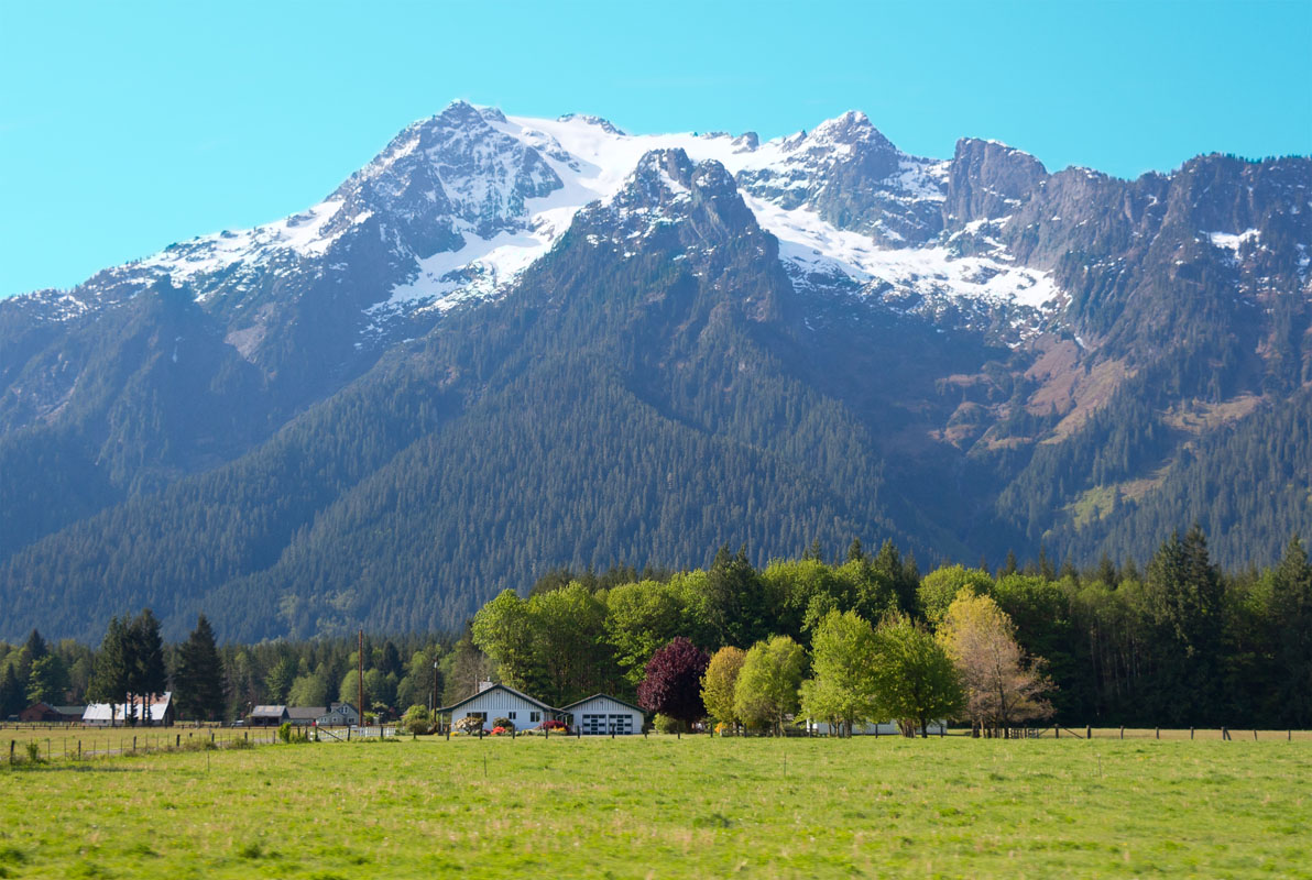
Nestled at the foothills of the illustrious Cascade Mountains, Darrington is known as an “authentic mountain community at the doorstep of adventure.” Darrington sits where two rivers once joined in a valley between the Sauk and Stillaguamish rivers. The town sits in a unique location just outside of Mt. Baker-Snoqualmie National Forest, Wild and Scenic Rivers, and is in close proximity to Boulder River. There are over 328 miles of trail to explore – many leading to incredible alpine lakes, old-growth forests, and waterfalls. When it’s time to head back to town for some rest and relaxation, there are a variety of B&Bs, cottages, Ranches, and lodges to choose from.
Arlington, which sits between the Cascade Mountains and Puget Sound, is the ideal getaway for outdoor recreation. Arlington offers easy access to epic snowshoeing and skiing in the winter and hiking and biking in the summer. In the summer, Arlington hosts several farmers markets, art fairs, and music festivals. The Centennial trail winds its way through downtown Arlington, so you don’t have to go far to hit the trail. Not to mention, Arlington is the northern gateway to the Mountain Loop Highway, the perfect place to gaze at iconic Cascade peaks and chase down waterfalls.


.jpg)
glacier
washington-fire-lookouts
smoots-100
mountaineers-everett
glacier
washington-fire-lookouts
smoots-100
mountaineers-everett
The highest peak in Boulder River Wilderness is Whitehorse Mountain, at 2,092 m.
Notable peaks in Boulder River Wilderness include Whitehorse Mountain, Three Fingers, Mount Bullen, Jumbo Mountain and Liberty Mountain.


