Get PeakVisor App
Sign In
Search by GPS coordinates
- Latitude
- ° ' ''
- Longitude
- ° ' ''
- Units of Length

Yes
Cancel
Share ×

Scan the QR code and open PeakVisor on your phone
❤ Wishlist ×
Choose
Delete
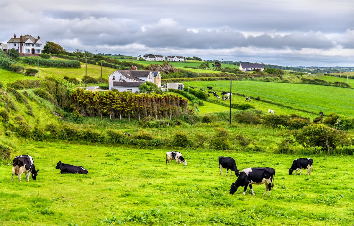
Nestled along the north coast of County Londonderry, the Binevenagh Area of Outstanding Natural Beauty highlights the best of Northern Ireland's diverse landscape. The park contains 6 named peaks, the highest and prominent of which is Binevenagh (438 m/1,437 ft).
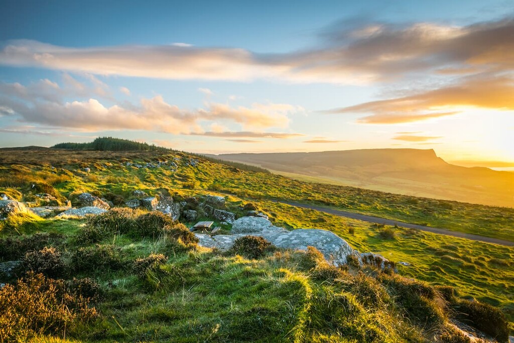
One of eight Areas of Outstanding Natural Beauty in Northern Ireland, the Binevenagh AONB covers 16,000 hectares between the River Roe and the River Bann. The area’s hills form the western reaches of the Antrim Plateau, which encompasses 165,000 hectares from Belfast to the Giant's Causeway.
One notable feature of the Binevenagh AONB is the plateau and cliffs of Binevenagh, which stretch of 6 miles along the Magilligan Peninsula. The plateau overshadows several villages, including Bellarena and Castlerock, while providing sweeping views of Lough Foyle. Much of the rest of the area is characterized by its coastline, which features vast sand dunes and some of the finest beaches in Northern Ireland.
The Binevenagh AONB is located 20 miles (32 km) northeast of Northern Ireland's second city, Derry, and is roughly 50 miles northwest of the capital, Belfast. There are a few small parks near the Binevenagh AONB, with the Ringaree Coastal Park and the Roe Valley Country Park less than 5 miles away. You'll also be within 10 miles of one of the UK's most famous natural wonders, the Giant's Causeway.
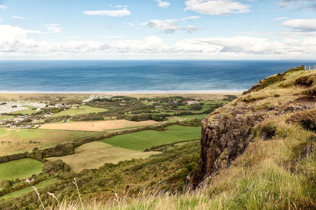
While there are no official mountains within the Binevenagh AONB, there are several notable hills, including Binevenagh, Coal Hill (363 m/1,190 ft), and Sconce Hill (240 m/787 ft).
The park was formed around 60 million years along with the rest of the Antrim Plateau. Most of the top rock layers in the park are composed of black basalt lava, which erupted from deep in the earth's crust during the formation of the North Atlantic Ocean.
Below the basalt is a layer of unusually hard chalk formed 80 million years ago, followed by a 200 million-year-old thick layer of limestone. Much of the area's rugged coastline has been formed over millions of years by erosion and during the last Ice Age.
The diversity of the Binevenagh AONB's landscape, ranging from dunes to bogs to woodlands, means there's a wide variety of flora and fauna in the area, some of which are incredibly rare. For example, the area's dunes are home to the only lizard species in Ireland, the common lizard.
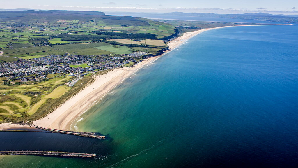
The region's coastline and mudflats are internationally recognized areas of importance to bird conservation. Many seasonal visitors like light-bellied Brent goose and whooper swan come to the area to feed on vast beds of mussels and oysters in Lough Foyle and the River Bann estuary. While walking along the coast, you may be lucky enough to spot a whale or porpoise. The region's rivers are also home to sea trout and salmon.
Heading inland, the headlands of Binevenagh feature some rare arctic-alpine flora, including moss campion and purple saxifrage. Wildflowers like wild thyme and harebell are also familiar sights on Binevenagh's slopes. The Altikeeragh bogs on the plateau above Binevenagh boast some rare mosses, like sphagnum imbricatum.
Across the rest of the park, you may spot an assortment of mammals, including rabbits, otters, stouts, and badgers.
Humans have inhabited the northwestern shores of Northern Ireland since the Middle Stone Age, around 10,000 years ago.
Evidence of human settlements has been found across the landscape, including excavations near Castlerock, Portstewart, and Grangemore, which revealed ancient artifacts like flints, pottery, and the remains of a canoe. One of the most famous finds was along the River Roe, where archeologists uncovered various gold necklaces, a gold bowl, and other gold objects.
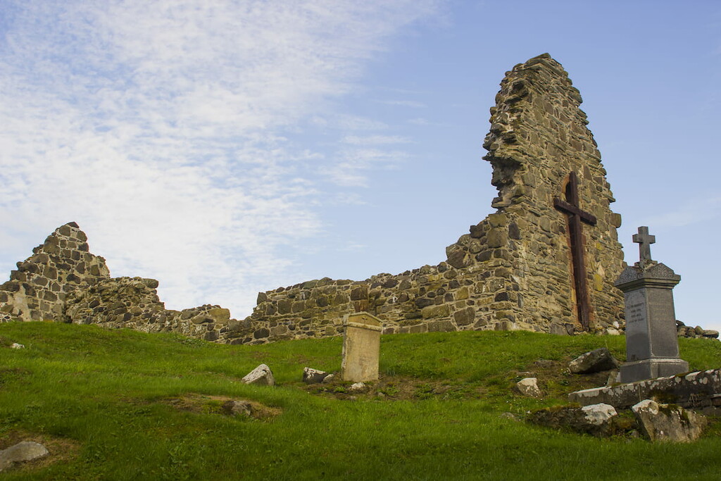
There is also evidence of fortifications built on the region's hillsides during the Iron Age. Giant's Sconce on Sconce Hill and Craigbolie Castle near Binevenagh are some of the best evidence of the Iron Age hilltop forts.
The ruins of several important churches are visible on the slopes of Binevenagh, such as the 13th-century church at St Aidan's, which is said to have close ties to St Patrick.
Looking to plan the perfect hiking adventure in the Binevenagh AONB? Read on to find out about some of the area's best hiking areas and trails.
Hiking up Binevenagh is one of the most popular walks in the Binevenagh AONB due to the views the hill provides of the Magilligan Peninsula. There's also lots of history folklore relating to Binevenagh. The name Binevenagh in Irish means the "mountain of Fiobhne" after the son of a legendary Irish chief who lived in the region. Archeologists also uncovered the remnants of the Iron Age Craigbolie Castle nearby.
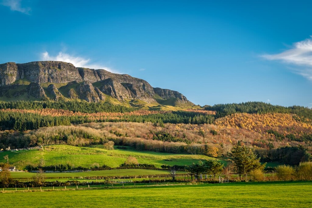
The best way to hike up Binevenagh is from Leighery Road, parking at the only significant bend in the road. Pass through the gate towards the forest and walk along the path. Turn left at the first turn and follow it uphill for about a mile. At a forest road, turn right and follow it to the summit.
From atop Binevenagh, you'll get to enjoy panoramic views of Lough Foyle and Roe Valley. You'll also be able to spot several nearby villages, including Aghanloo and Bellarena. On a clear day, you even may be able to see Scotland in the distance.
Before making your descent, make sure you stop to admire the arctic-alpine flora and bird species inhabiting Binevenagh's slopes. To make your descent, follow the path to the northwest. You'll soon return to the main track, which you can follow back to your starting point.
Eagle Hill (214 m/702 ft) is a short, clifftop walk that provides superb views of Northern Ireland's coastline and County Donegal in the Republic of Ireland. This walk is easy to follow and should be manageable for hikers of all abilities. The walk is around 3 miles and takes approximately 2 hours.
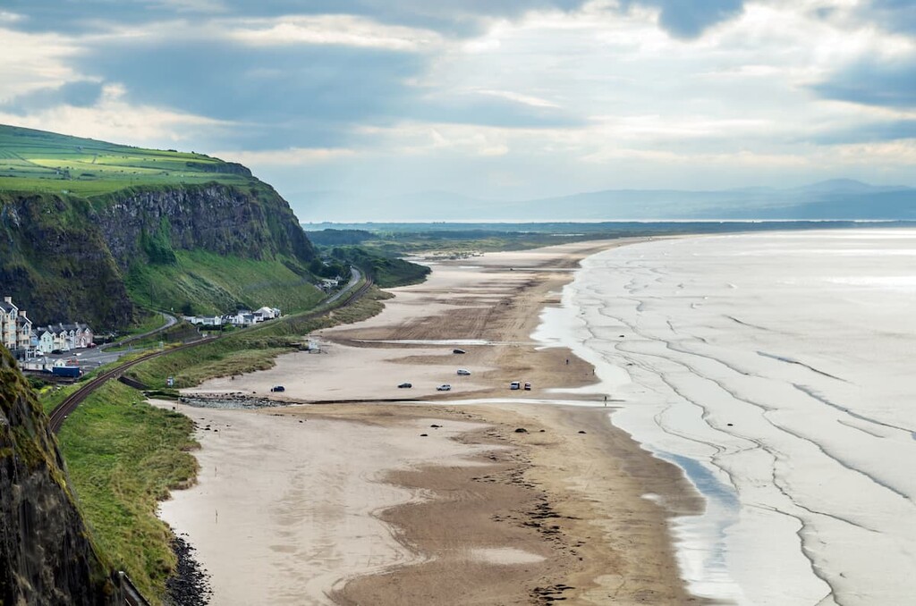
Start this walk from the Gortmore viewpoint just west of Portstewart. Follow the paved trail downhill before crossing a stile into the townland of Avish. Cross the field, keeping the fence to your left. This area is steep, so be careful not to slip after bad weather.
This section of the walk affords sweeping views across Inishowen and of Benone Strand. You may also spot the odd nesting bird, including Peregrine falcons and fulmars. At the far end of the field, pass through another stile onto another field.
Cross the field in a northeastern direction, over a small stream, and then through yet another stile. Continue in the same direction, and Eagle Hill will be visible on your right. Walk along the cliff top fence line, keeping the cliff on your left. The fence will then turn into a stone wall. Watch out for ornery feral goats in this area as you head for the top of Eagle Hill.
Continue along the path over a stile, past a waterfall on Seacoast Road. After you've taken in views across Benone Strand and the Umbra Nature Reserve, descend by heading south, keep the stream that feeds the waterfall on your left. Pass over an old wall to reach Bishop's Road. Turn right and follow it for just over a mile to return to the Gortmore viewpoint.
The Causeway Coastal Route is one of the most scenic trails in Northern Ireland. The route spans 120 miles (190 km) of coastline from Belfast to Derry. Along the route, you'll pass some of Northern Ireland's best attractions, like the Carrick-a-Rede rope bridge and the Giant's Causeway.
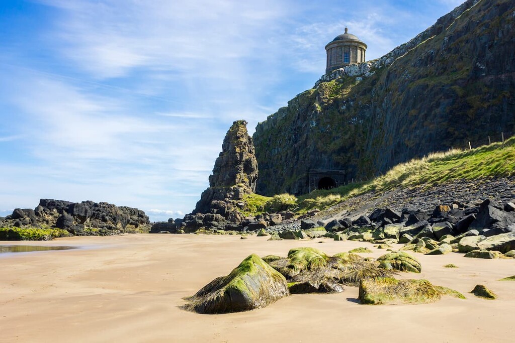
A section of the Causeway Coastal Route runs through the Binevenagh AONB from Portstewart to the mouth of the River Roe. Despite being only a section of the Causeway Coastal Route, it's still a long 20-mile hike that will take around 2 days to complete. For the majority of the walk, you'll just need to follow the coastal road towards Limavady.
Along the walk, you'll pass by one of the best and longest beaches in Northern Ireland, Benone Beach. Just before the Benone Strand, ensure you check out the clifftop Mussenden Temple, constructed in 1785.
You'll then walk along the Magilligan Peninsula to Magilligan Point. From Magilligan Point, you'll get views across Lough Foyle towards County Donegal. There's also Martello Tower, a historic early 19th century built by the British Empire.
There are several places you can end this section of the Causeway Coastal Route, and perhaps the best place is the market town of Limavady. There are several places you can stay if you're completing the walk over several days, including Castlerock and Bellarena.
Hikers looking to discover the best of the area’s woodlands should walk the Errigal Glen Trail. Perched on the park’s southern boundary, the Errigal Glen Trail leads through the lush woodlands, along the Agivey River, and past fascinating historical sites like the ruins of the 7th century Errigal Old Church. The trail is 2.5 miles and takes about 1 or 2 hours to complete.
From the entrance to the Errigal Glen on Temple Road, follow the green waymarked trail. The trail follows the course of the Agivey River through the narrow, wooded glen. At Ballintemple House, leave the Glen and turn left onto Churchtown Road. At the crossroads in Ballintemple, turn right onto Gortnamoyagh Road and enter Gortnamoyagh Forest on the left.
Continue along the wooded path before joining back onto Churchtown Road. On the road turn right and then left to return to your starting point at the entrance to Errigal Glen.
If you’re planning to spend a few days exploring the Binevenagh AONB, consider staying at one of the major cities and towns within touching distance of this beautiful natural area.
Derry, officially Londonderry, is Northern Ireland's second city and a great place to stay if you're looking to soak up some local culture during your hiking adventure. Londonderry is just 20 miles from the Binevenagh AONB, providing easy access to the area's best trails.
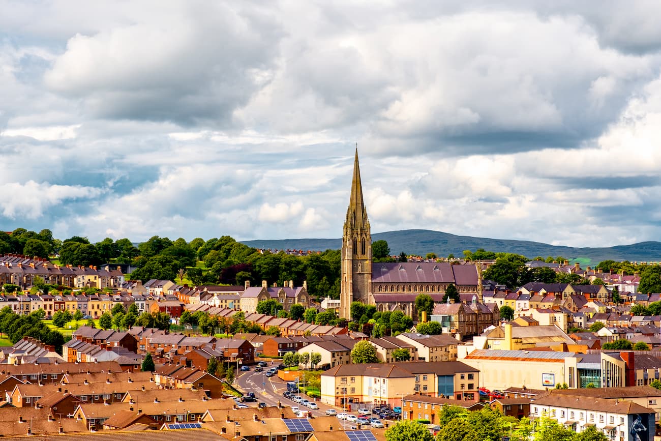
Derry also has some interesting historical attractions to enjoy during your downtime, like the 19th-century Guildhall and the Museum of Free Derry. If you're looking to stay in Derry, consider booking a room at the City Hotel or the Maldron Hotel.
The affluent riverside town of Coleraine is the ideal place to stay if you're planning a quiet getaway. Sat on the eastern edge of the Binevenagh AONB, Coleraine is less than 15 miles from Binevenagh and less than 10 miles from the coast.
Coleraine is an excellent spot for getting outdoors. Spend your days working on your handicap at one of the many nearby golf courses, or explore the ruins of the 13th century Dunluce Castle, once the seat of the McDonnell clan. There are several highly-rated hotels in Coleraine, like the Bushtown Hotel & Spa and The Lodge Hotel.
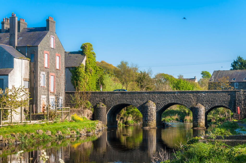
Adventure seekers looking to stay as close to the Binevenagh AONB's best hiking trails as possible should spend the night in Limavady. This small is just to the west of the park, less than 7 miles from Binevenagh.
During your stay, check out the Roe Valley Country Park and learn about local agricultural history at the Green Lane Museum. There are a few accommodation options in and around Limavady, including the Roe Park Resort and Waterfall Caves.
Situated 10 miles east of the Binevenagh AONB, Bushmills is among the most popular vacation villages in Northern Ireland. The village is renowned as the home of the Old Bushmill Distillery and for being 2 miles south of the Giant's Causeway, one of the most famous natural sights in Britain. Hikers looking to spend the night in Bushmills should consider staying at the Bushmill Inn Hotel or the Smugglers Inn.
Explore Binevenagh AONB with the PeakVisor 3D Map and identify its summits.


