Scan the QR code and open PeakVisor on your phone
Remote and rugged, Aniakchak National Monument is a lasting testament to the recent geologic activity of the Aleutian Islands region in the US state of Alaska. The monument is located in the central part of the Alaska Peninsula and contains 939.4 square miles (2,433 sq. km) of land, as well as six named mountains, the highest and most prominent of which is Aniakchak Peak (4,449ft/1,356m).
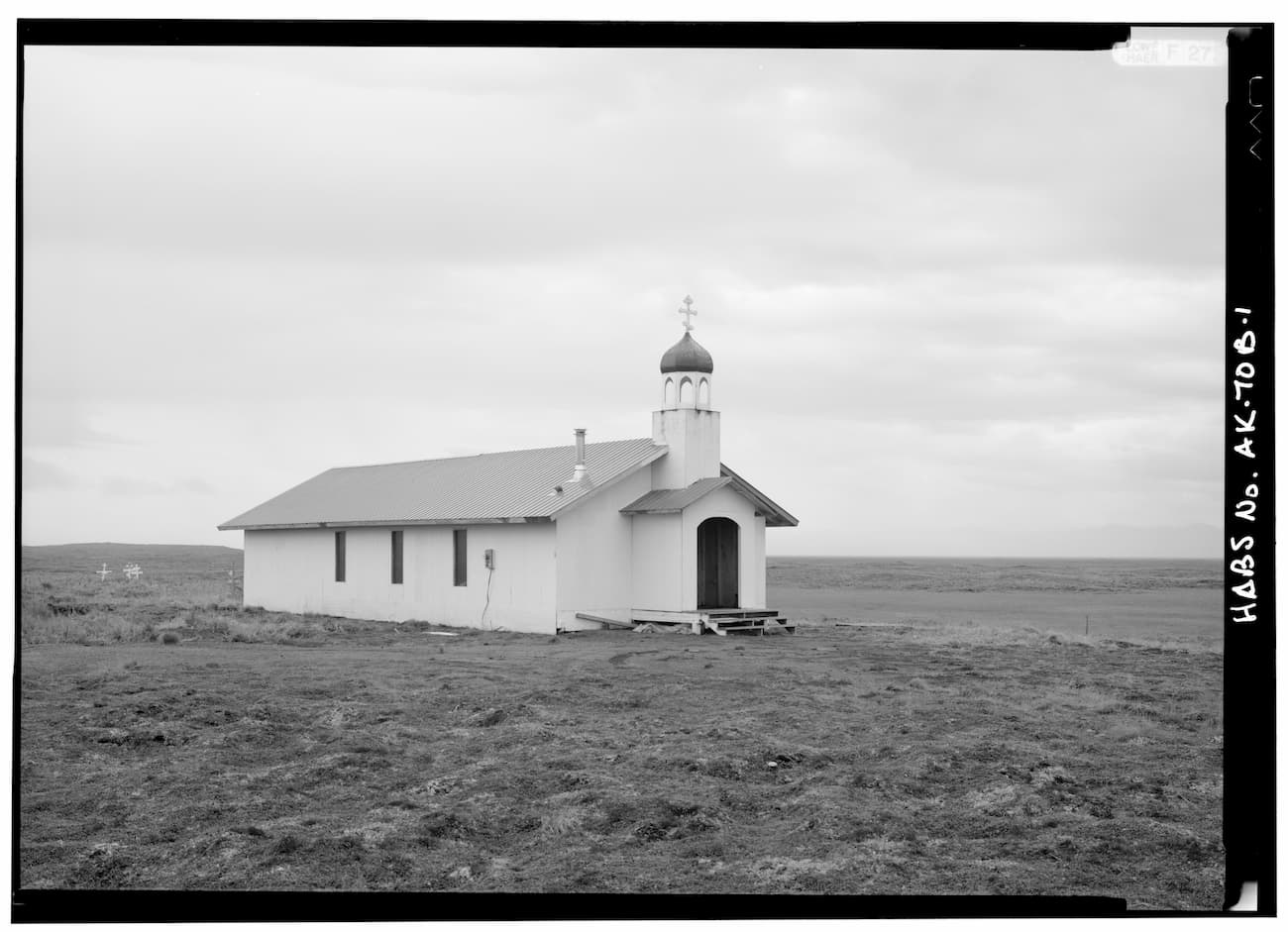
.jpg)
Aniakchak National Monument is the least visited landholding of the US National Park System, with around 100 recorded visitors each year. The lack of visitation to Aniakchak is due to the monument’s very remote location in the Lake and Peninsula Borough in the central part of the Alaska Peninsula. The Alaska Peninsula extends out from the Alaska mainland and ends at the start of the Aleutian Islands archipelago.
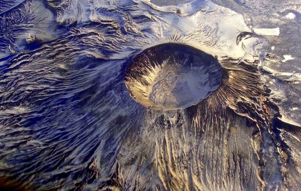
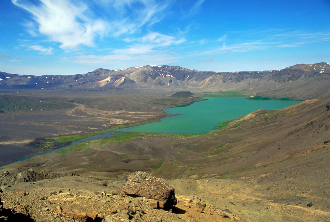
For the most part, the monument is centered around the 6 mile (9.7km) wide crater of Mount Aniakchak, an ancient peak that was destroyed during an eruption about 3,500 years ago. When the mountain erupted, it collapsed and created the 3,300 foot (1,000m) deep crater that we see today on Aniakchak Peak.
The park is completely inaccessible by road from the city of Anchorage, which is about 450 miles (720km) by air to the northeast. However, there is a road from the nearby town of Port Heiden (Aleut: Massriq) that reaches the very outer flank of the caldera.
Aniakchak is located to the south of Bristol Bay, an arm of the Bering Sea, which contains the largest sockeye salmon fishery in the world, as well as the shallowest section of the Bering Sea and some of the largest tidal differences on Earth. Surprise Lake, which is located at the top of the Aniakchak Peak caldera, is also the source of the Aniakchak River, a federally-designated Wild and Scenic River.
Katmai National Park is the nearest National Park Service land to Aniakchak National Monument, however, it is located a significant distance to the north, across from Kodiak Island. Izembek National Wildlife Refuge is also located a considerable distance to the south near the town of Cold Bay.
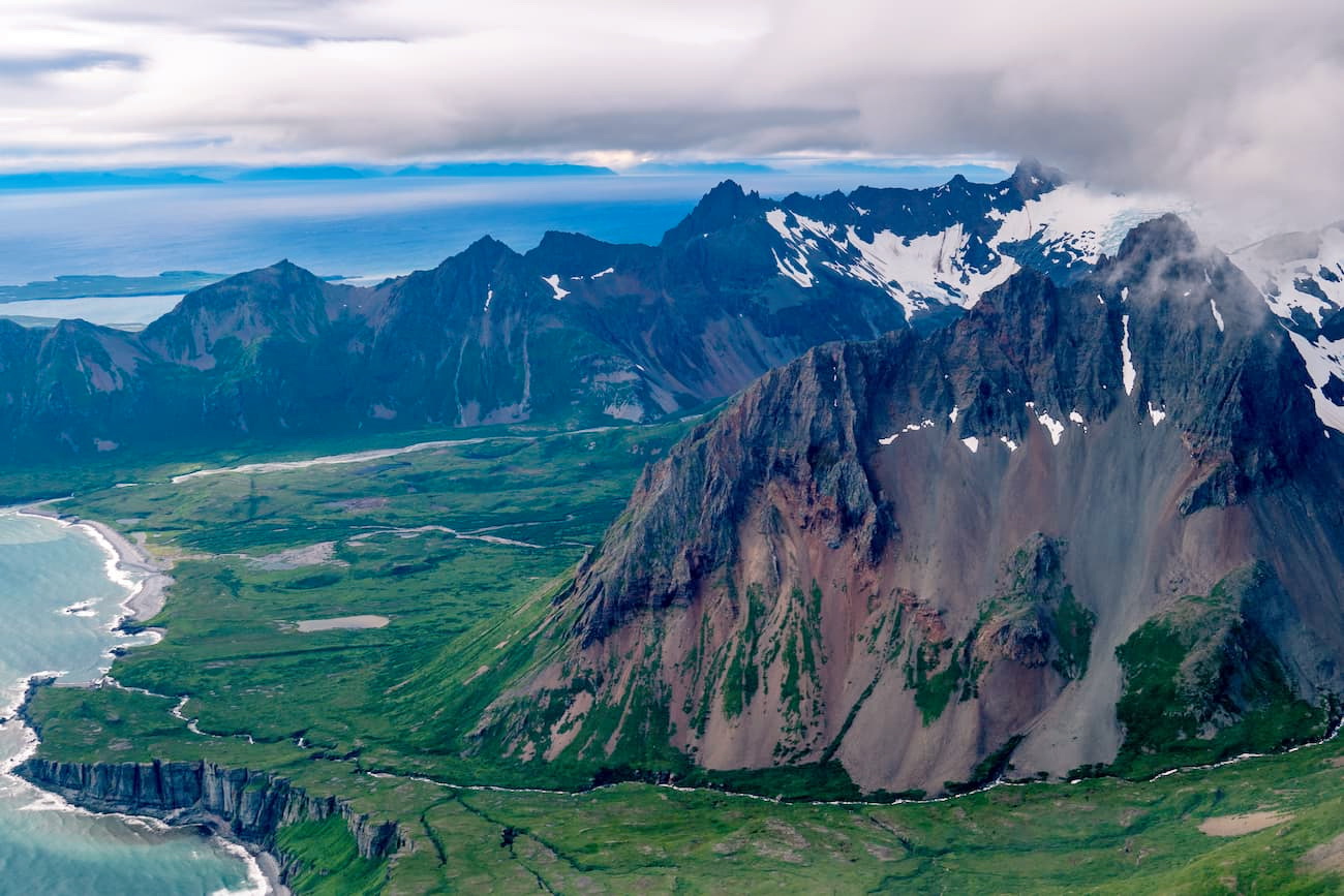
The mountains in Aniakchak National Monument are part of the Aleutian Range, which extends from the northern reaches of the Alaska Peninsula to the westernmost section of the Aleutian Islands at Unimak Island, a distance of about 600 miles (1000km). The range formed as a result of the subduction of the Pacific Plate under the North American plate, creating the highly volcanic and seismically active landscape we see today.
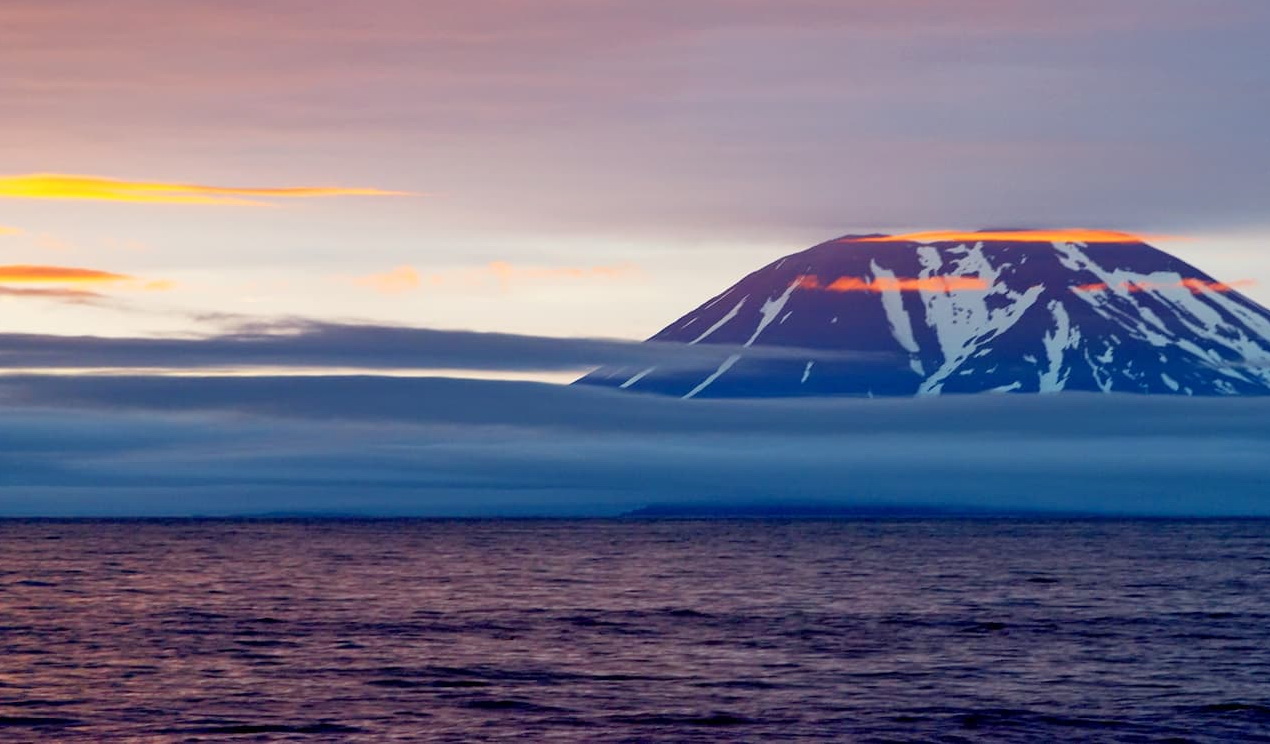
Indeed, much of the monument and the surrounding landscape is dominated by volcanoes. The eruption of the ancient Mount Aniakchak some 3,500 years ago created the monument’s most defining feature.
But, Aniakchak National Monument is still volcanically active, having last erupted in 1931, creating the 1931 Eruption Crater. Ash from this eruption landed in villages up to 40 miles (64km) away. Interestingly, the region was photographed both before and after this eruption by Father Bernard Hubbard, a geologist and Jesuit priest.
Aniakchak National Monument has a cool, wet climate typical of the Alaska Peninsula. It is dominated by a landscape that is mostly alpine tundra with an abundance of animal life. However, much of the area contains relatively little plant life due to the lasting effects of repeated volcanic eruptions.
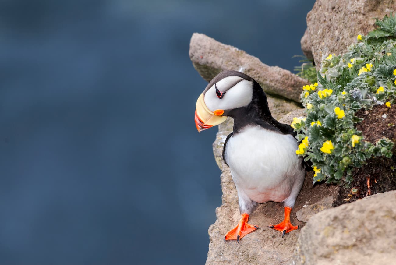
The region is home to many large terrestrial animals, including brown bears, wolves, wolverines, moose, caribou, and foxes. In the nearby ocean, there are plenty of sockeye salmon, sea otters, sea lions, and harbor seals.
The Alaska Peninsula and the Aleutian Islands have been inhabited by humans for thousands of years. Although many of the current native residents of the region are Aleut, there is some archeological evidence that suggests the Alutiiq called the region home for some time after the major volcanic eruption some 3,500 years ago.
As the Russians started to travel around Alaska in the 1800s, they did visit the region ner Aniakchak National Monument in the 1820s and 1830s. However, they did not create any permanent settlements in the area and the few Russian fur trappers that tried to live in the region failed to gain any real financial success.
One of the first large settlements in the region was Chignik Lagoon about 50 miles (80km) to the southwest of the monument. Chignik Lagoon was the site of a cannery that was constructed in the 1880s to support the salmon fishing industry.
In 1917, there were more fishing vessels in the waters around Aniakchak Bay, some of which created a bunkhouse to accommodate summertime workers in the region. By the 1930s, fishermen found that Aniakchak Bay was rich in razor clams, however, they quickly depleted the stocks of the clams in just a few years.
The 1960s and 1970s shifted the focus of the region more toward conservation. In 1970, Aniakchak’s caldera was declared a national natural landmark. However, with the passing of the 1971 Alaska Native Claims Settlement Act (ANCSA), the Park Service had to withdraw their claim over hundreds of thousands of acres of land around Aniakchak, which was then placed in the hands of local native corporations.
When an Aniakchak Caldera National Recreation Area was proposed in 1973, there was significant opposition from local native groups and mining prospectors. However, the Aniakchak River was also designated a National Wild and Scenic River that year.
Aniakchak National Monument was officially designated by President Jimmy Carter in 1978 under the Antiquities Act. The 1980 Alaska National Interest Lands Conservation Act (ANILCA) further established the monument and expanded it slightly to the southern coast of the Alaska Peninsula. Due to the terms of ANILCA, subsistence hunting and fishing are allowed in the monument while sport hunting is permitted in the nearby Aniakchak National Preserve.
Aniakchak National Monument is remote. There are no trails, no campgrounds, and no facilities. You’re unlikely to encounter park rangers within Aniakchak as the monument is administered by a Visitor Center in King Salmon, which is a substantial distance by air to the north.
The vast majority of visitors to the park (of which there are few) fly into Surprise Lake by float plane air taxi from King Salmon. However, flights into Surprise Lake are often delayed or canceled because of thick fog in the area.
It is also theoretically possible to travel overland from Port Heiden to Aniakchak, however, the hiking would be rugged and difficult. Most visitors to the park attempt to reach both Aniakchak Peak and Vent Mountain, but a solid grasp of backcountry navigation and survival skills, as well as brown bear awareness, is a must for any hiking adventure in the region.

Here are some of the best places to stay before or after your trip into Aniakchak National Monument:
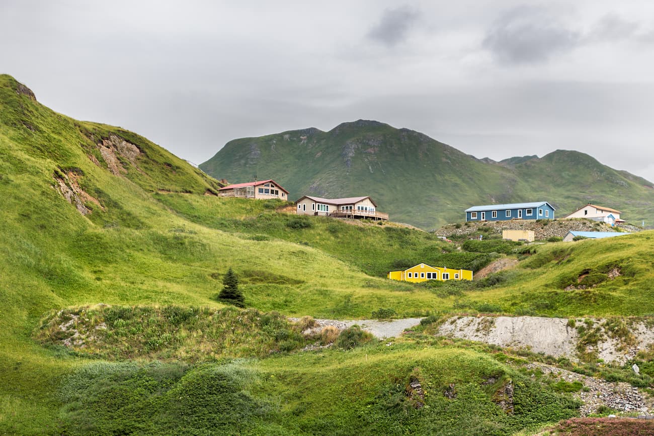
Port Heiden is the town closest to Aniakchak National Monument. The town is located just west of the monument and has a population of about 100 people. If you’re interested in hiking into the monument, Port Heiden is your best bet.
There are a few regularly scheduled flights from the town into King Salmon. Otherwise, the only access to Port Heiden is by boat.
King Salmon is located on the Alaska Peninsula, some 280 miles (450km) to the southwest of Anchorage. It has a population of about 370 people and is close to Katmai National Park.
The city is regularly serviced by Alaska Airlines flights from Anchorage and is the best place to start if you’re looking to take a float plane into Aniakchak’s Surprise Lake. It is also located just inland from the town of Naknek on Bristol Bay and there is a road connecting the two towns.
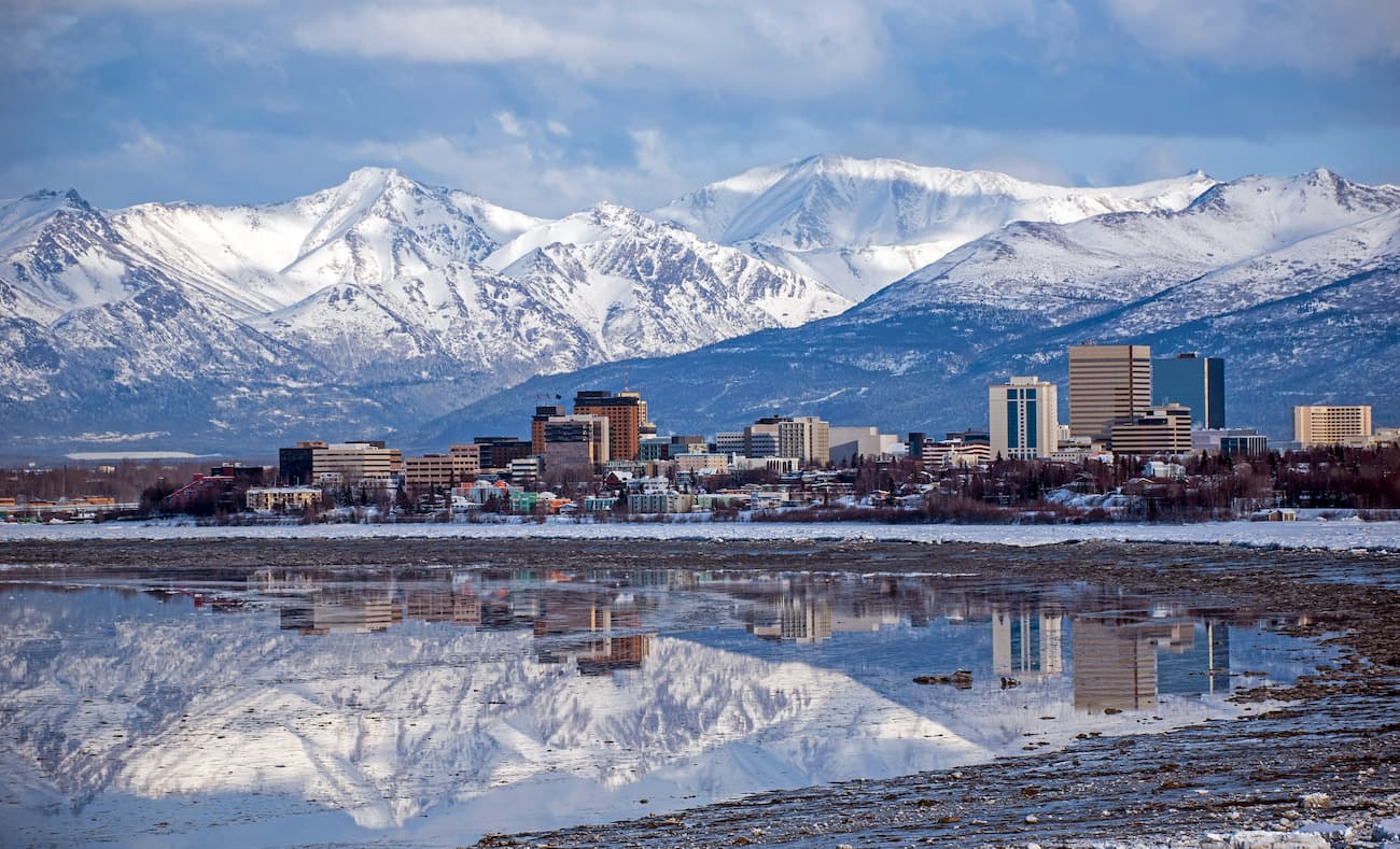
Anchorage is the largest city in Alaska with around 290,000 residents. It is the commercial and transportation hub of the state, so if you’re traveling to Alaska, you will almost certainly start your journey in Anchorage. There are regular flights from Anchorage into King Salmon and onward to Aniakchak National Monument, but there is no road access between the towns.