Get PeakVisor App
Sign In
Search by GPS coordinates
- Latitude
- ° ' ''
- Longitude
- ° ' ''
- Units of Length

Yes
Cancel
❤ Wishlist ×
Choose
Delete
Zululand District Municipality is located in the KwaZulu-Natal province in South Africa and is named after the historic Zululand region of the Zulu Kingdom. The municipality has 399 named mountains, the highest of which is Makateeskop, measuring 1,737 meters (5,699 ft). The most prominent mountain is KwaNtabankulu, at 1,584 meters (5,197 ft).
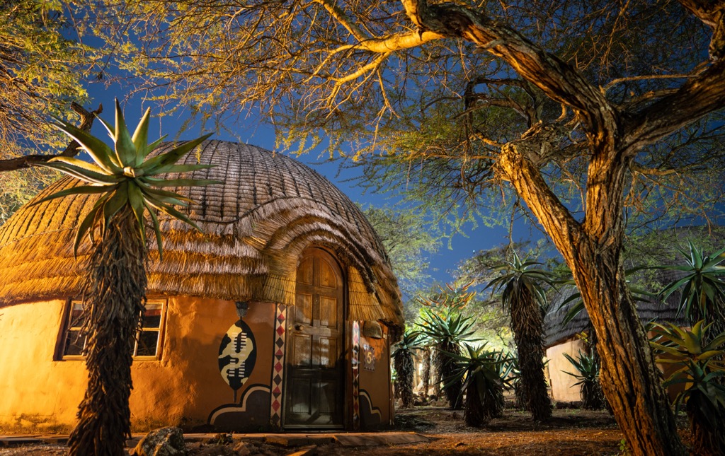
The Zululand District Municipality is in the northeastern part of KwaZulu-Natal and covers approximately 1,481,000 ha (3,659,631 ac). It borders uMkhanyakude District to the east, King Cetshwayo to the south, Amajuba to the west, uThukela to the northwest, and the Kingdom of Eswatini to the north.
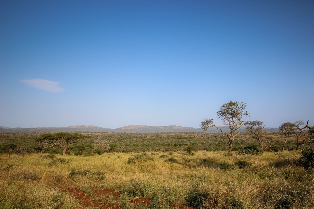
The district’s terrain includes grasslands, hills, and fertile lowlands near rivers. The central and northern regions consist of open grasslands, while the west features steep valleys and escarpments. Key rivers like the White and Black Umfolozi flow through Zululand, forming the larger uMfolozi River system.
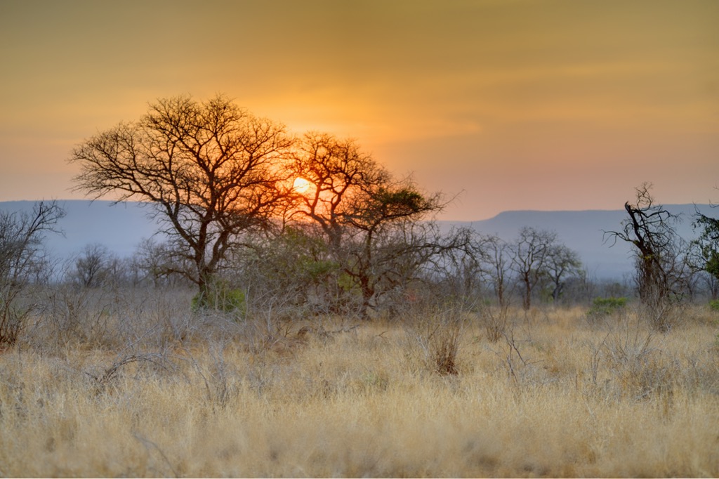
Zululand has a subtropical climate with hot summers and mild winters. Low-lying areas can reach temperatures above 30°C (86°F) in summer, while higher altitudes occasionally experience frost in winter. Rainfall is moderate and concentrated in the summer, supporting agriculture and natural vegetation.
The district is known for its biodiversity and protected areas, including Ithala and uMkhuze Game Reserves, which host diverse wildlife such as rhinos, elephants, and birds. The landscape features savannahs, grasslands, and bushveld, making Zululand a hub for conservation and tourism.
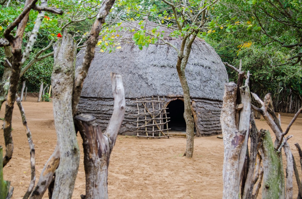
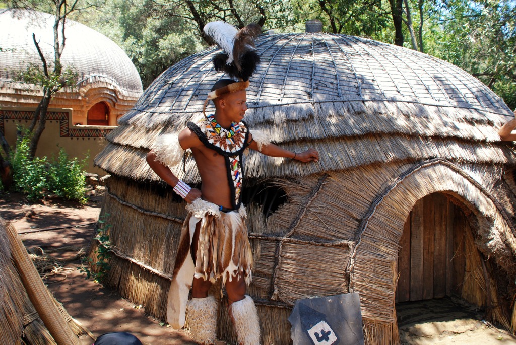
Most of Zululand’s population lives in rural areas with scattered settlements and traditional Zulu homesteads, also known as kraals. Major towns include Ulundi, the administrative center, as well as Nongoma and Vryheid.
Agriculture is central to the district’s economy, with maize, sugarcane, and livestock farming being the dominant products. Tourism also contributes significantly, driven by the district’s natural beauty, wildlife, and cultural heritage linked to the Zulu Kingdom.
The Zululand District Municipality is underlain by the Kaapvaal Craton, a stable crust over 3 billion years old, overlain by younger sedimentary and volcanic formations. The Karoo Supergroup, with sandstones, shales, and coal seams from the Late Carboniferous to Jurassic periods, is economically significant, especially for coal mining in Vryheid.
The Zululand Group consists of Mesozoic marine limestones and sandstones and reflects the opening of the Indian Ocean, which contains fossils and limestone deposits. Jurassic volcanic activity resulted in widespread dolerite sills and dykes, linked to Gondwana's breakup. Coastal areas include beach sands, dunes, and estuarine deposits containing heavy minerals like ilmenite and zircon.
Zululand's vegetation includes coastal forests, savannas, grasslands, wetlands, and thickets. Coastal forests, rich in biodiversity, support species like Natal mahogany and fig trees, while inland savannas and grasslands are home to herbivores such as wildebeest, zebra, and antelope. Wetlands, particularly in the iSimangaliso Wetland Park, are vital habitats for migratory birds and freshwater species. The district’s thicket and bushveld areas provide refuge for smaller mammals and reptiles.
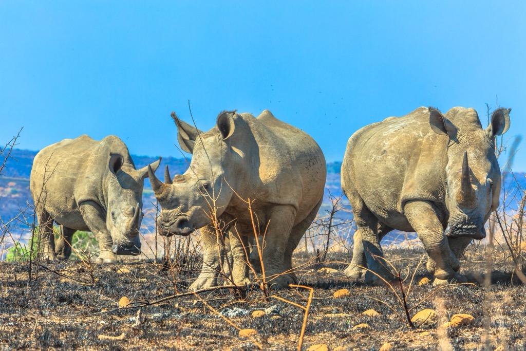
Zululand is a biodiversity hotspot, home to notable species like the Zululand cycad and a wide range of mammals, including elephants, rhinos, lions, and buffalo. Hluhluwe-iMfolozi Park is especially vital for rhino conservation. The district also supports significant birdlife, including flamingos, herons, and raptors, while the coastal areas are crucial to breeding sea turtles like the leatherback and loggerhead.
Key conservation areas in Zululand include the UNESCO World Heritage Site iSimangaliso Wetland Park, Hluhluwe-iMfolozi Park, and Mkhuze Game Reserve.
The Zululand District Municipality has a rich history shaped by the Zulu people. Established in the 16th and 17th centuries, the Zulu Kingdom rose to prominence under King Shaka Zulu in the early 19th century, becoming a powerful force in southern Africa.
In the 19th century, European colonization led to conflict, notably the Anglo-Zulu War of 1879, after which the British annexed Zululand. Under British rule, the Zulu lost much of their power, and colonial policies introduced land dispossession and segregation.
In the 20th century, Zululand was part of the KwaZulu Bantustan, a homeland under apartheid. The Inkatha Freedom Party, led by Mangosuthu Buthelezi, became a dominant political force during this period.
Post-apartheid, Zululand became part of democratic South Africa. The Zululand District Municipality reflects the region’s historical transformation from a powerful kingdom to a part of modern South Africa.
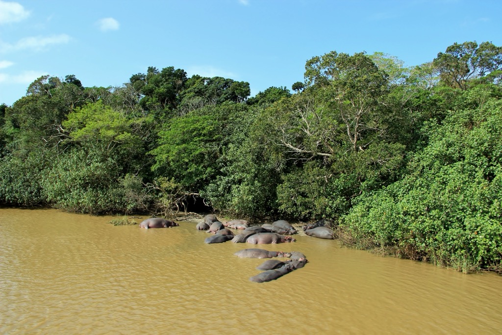
iSimangaliso Wetland Park is a UNESCO World Heritage Site and one of South Africa's most renowned natural areas. The park includes wetlands, beaches, and diverse ecosystems that host an array of wildlife, such as hippos, crocodiles, and a variety of bird species. Trails like the iNgwe Beach Walk (3.5 km/2.2 mi) provide views of the Indian Ocean and opportunities to spot dolphins and turtles. In comparison, the 2.3 km (1.4 mi) Gwalagwala Trail traverses a coastal forest where hikers can spot vervet monkeys and birdlife, such as the Purple-crested Turaco, White-eared Barbet, and Southern Boubou.
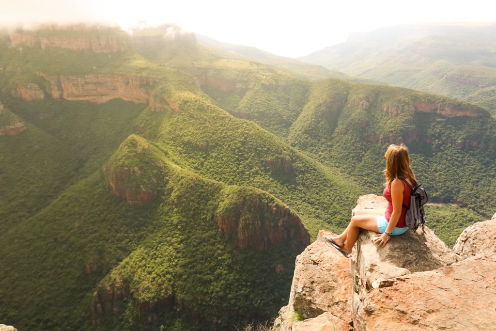
Hluhluwe-Imfolozi Park is known for being one of the oldest game reserves in Africa and is famous for its wildlife, including the Big Five: lion, leopard, elephant, buffalo, and rhino. Notable trails include the Primitive Trail, a 3-night backpacking route that involves hikers sleeping under the stars, and the 3-night Base Camp Trail with tent accommodation at the Mdindini Trails Camp. The Explorer Trail combines elements of both the Primitive and Base Camp Trails, with hikers spending the first and last nights at Mdindini Camp and the middle nights under the stars. All trails are guided by experienced and armed guides, ensuring safety and enriching the experience with their bush knowledge.
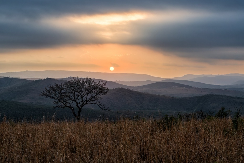
The Umlalazi Nature Reserve in Mtunzini is 130 km (81 mi) north of Durban and showcases Zululand’s biodiversity. The Mtunzini River and Beach Trail, Siyaya Trail, and uMlalazi Nature Reserve Trail are among the most popular, each providing unique scenic views of the river, beach, and forested dunes. The reserve is home to diverse wildlife, including the rare Palmnut Vulture, zebra, and various duiker species. Hikers can enjoy the natural beauty of mangrove forests, expansive beaches, and historical landmarks such as John Dunn’s Bath.
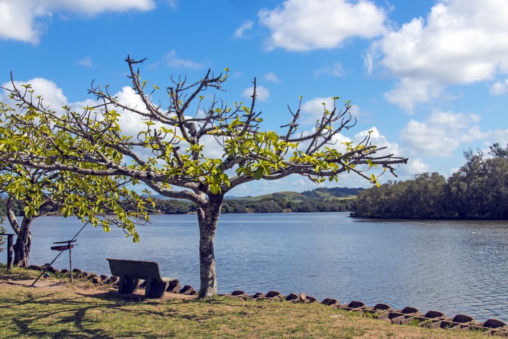
The Dlinza Forest in Eshowe features 250 ha (618 ac) of indigenous coastal scarp forest. The forest features two main hiking trails: the Impunzi Trail, a short and well-maintained 1.3 km (0.8 mi) path, and the Unkonka Trail, a slightly longer 1.8 km (1 mi) route that delves deeper into the forest. A standout feature is the Aerial Boardwalk. This 150-meter (492 ft) long elevated walkway culminates in a 20-meter (66 ft) high observation tower that provides sweeping views of the forest canopy and surrounding landscape. The forest is home to over 90 species of birds, such as the crowned eagle and the spotted ground thrush, as well as blue duikers, bushpigs, and various butterflies.
Ulundi was once the capital of the Zulu Kingdom under King Cetshwayo in the 19th century. It played a crucial role in the Anglo-Zulu War of 1879. Ulundi is located near Hluhluwe-iMfolozi Park and is a convenient base for exploring Zululand.
The Ondini Cultural Reserve comprises a reconstructed royal kraal of King Cetshwayo, where visitors can learn about Zulu history and culture. The reserve features a museum with exhibits on the Zulu Kingdom and its role in South African history.
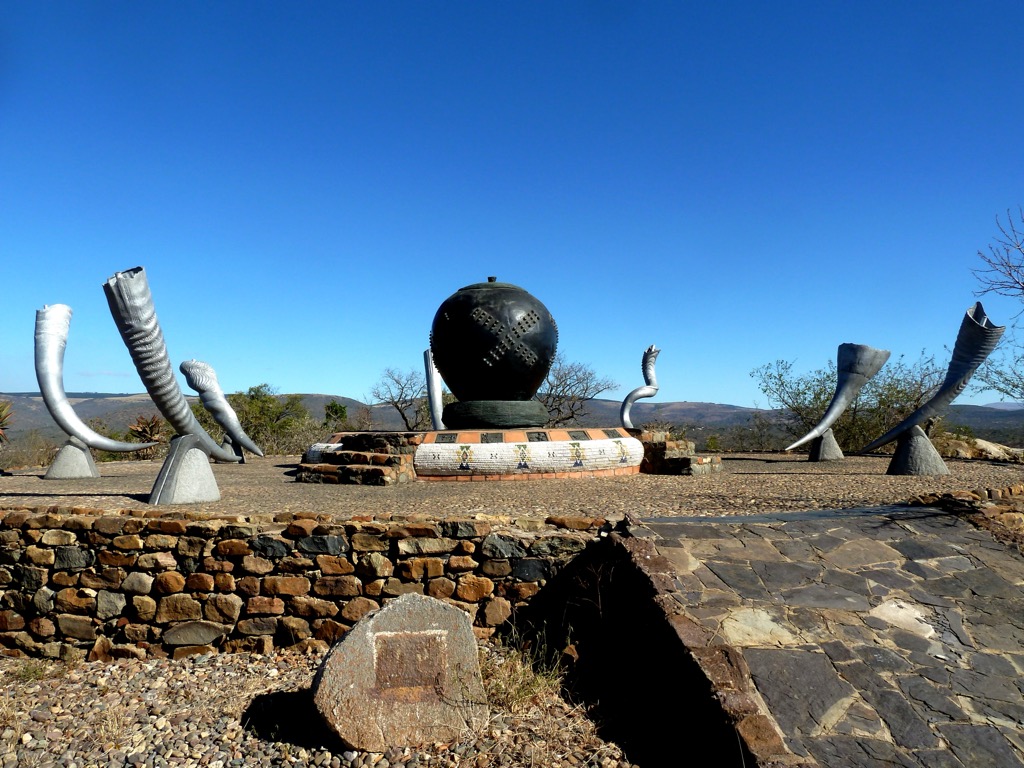
The Battle of Ulundi Memorial marks the final battle site of the Anglo-Zulu War and offers panoramic views of the surrounding landscape.
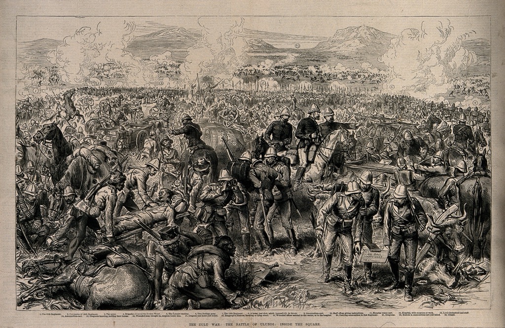
Vryheid is a town in Zululand, in the northern part of KwaZulu-Natal. Founded as a Boer settlement in the mid-1800s, it has grown into an agricultural, commercial, and tourist town. It is historically significant and linked to the Zulu Kingdom and the Anglo-Zulu War.
The Emakhosini Ophathe Heritage Park is a historically significant area for the Zulu people and holds great cultural importance. It’s the birthplace of King Shaka, one of the most prominent leaders in Zulu history. Visitors can explore the park, learn about Zulu culture, and visit historical sites.
Vryheid lies close to the historic battlefields of the Anglo-Zulu War and the Second Anglo-Boer War. The surrounding area is dotted with sites of major battles, such as the Battle of Isandlwana, Rorke’s Drift, and the Battle of Blood River.
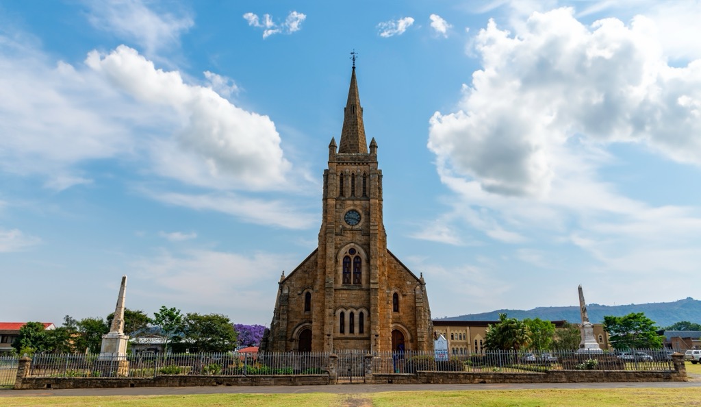
Explore Zululand District Municipality with the PeakVisor 3D Map and identify its summits.


