Get PeakVisor App
Sign In
Search by GPS coordinates
- Latitude
- ° ' ''
- Longitude
- ° ' ''
- Units of Length

Yes
Cancel
❤ Wishlist ×
Choose
Delete
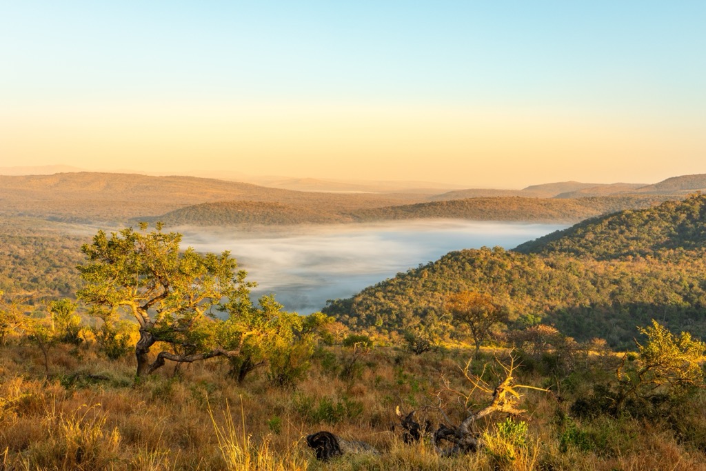
Hluhluwe-iMfolozi Park is located in the KwaZulu-Natal province of South Africa and is one of Africa's oldest proclaimed nature reserves. The park sits 50 km (30 miles) inland from the northeast coast, between the city of Durban and the nation of Eswatini (Swaziland). There are 37 named mountains in Hluhluwe-iMfolozi Park. Vivi is the highest point at 542 meters (1,778 ft). The most prominent mountain is KwaMthole, measuring 466 meters (1,529ft).
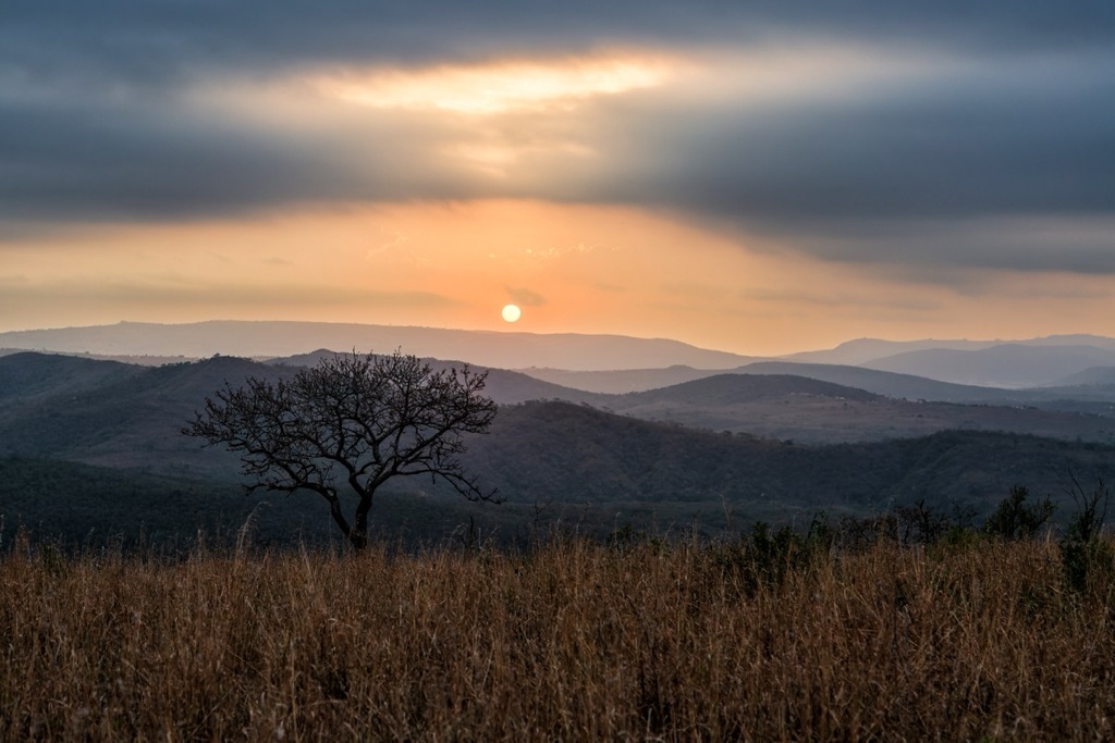
Hluhluwe-iMfolozi Park lies in northeastern KwaZulu-Natal and spans approximately 96,000 ha (237,221 ac). It is named after the Hluhluwe and iMfolozi rivers, which run through the park and are integral in sustaining large mammals' high concentration.
The northern Hluhluwe section is more mountainous, with elevations from 500 to 600 meters (1,640 to 1,969 ft), while the southern iMfolozi section consists of lower-lying savanna plains. These elevation differences create various ecosystems, from hilly bushveld in the north to open grasslands in the south. The park is home to the Big Five, which includes significant rhino populations.
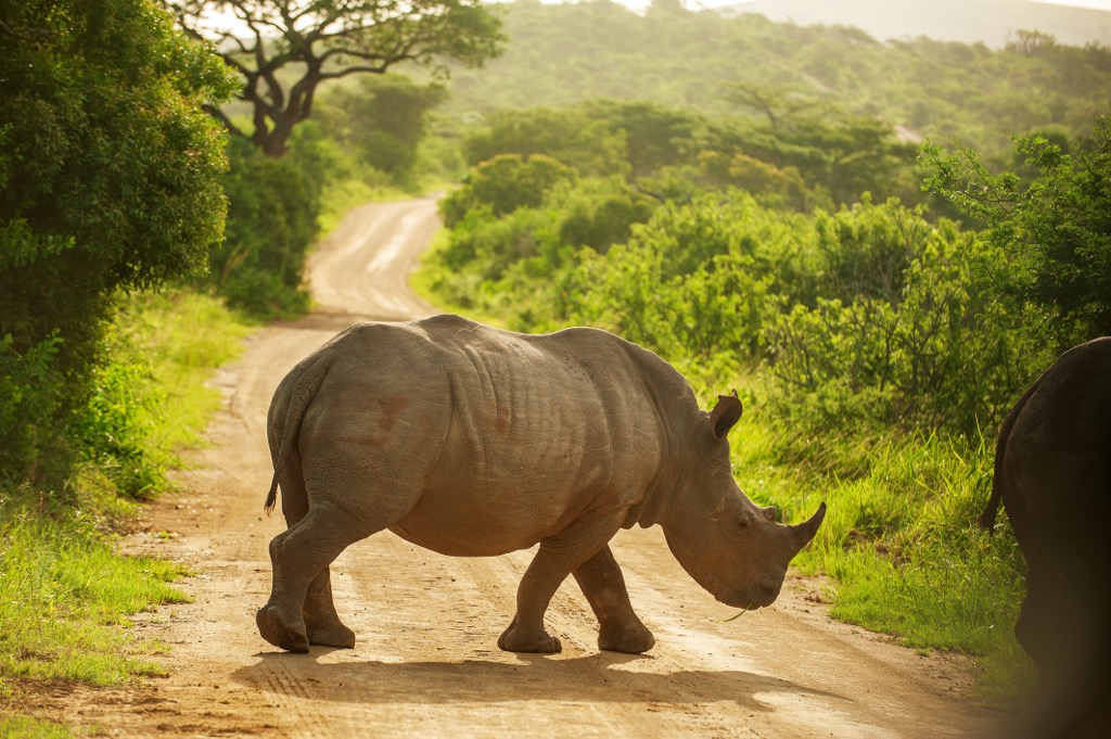
The park experiences a subtropical climate, with warmer summers and cooler, dry winters. Rainfall is distributed unevenly across the park, with the northern Hluhluwe section receiving about 900 mm (35 in) annually, while the southern iMfolozi section receives 600 mm (24 in). The wet season, which lasts from spring to summer, replenishes the park’s water sources and vegetation, while the dry season often concentrates wildlife around the rivers and waterholes.
The Hluhluwe and iMfolozi rivers are essential to the park’s ecosystems, providing vital water sources that create seasonal floodplains and wetlands, especially in the flatter iMfolozi section. These areas attract large numbers of birdlife and aquatic species, particularly during the dry season.
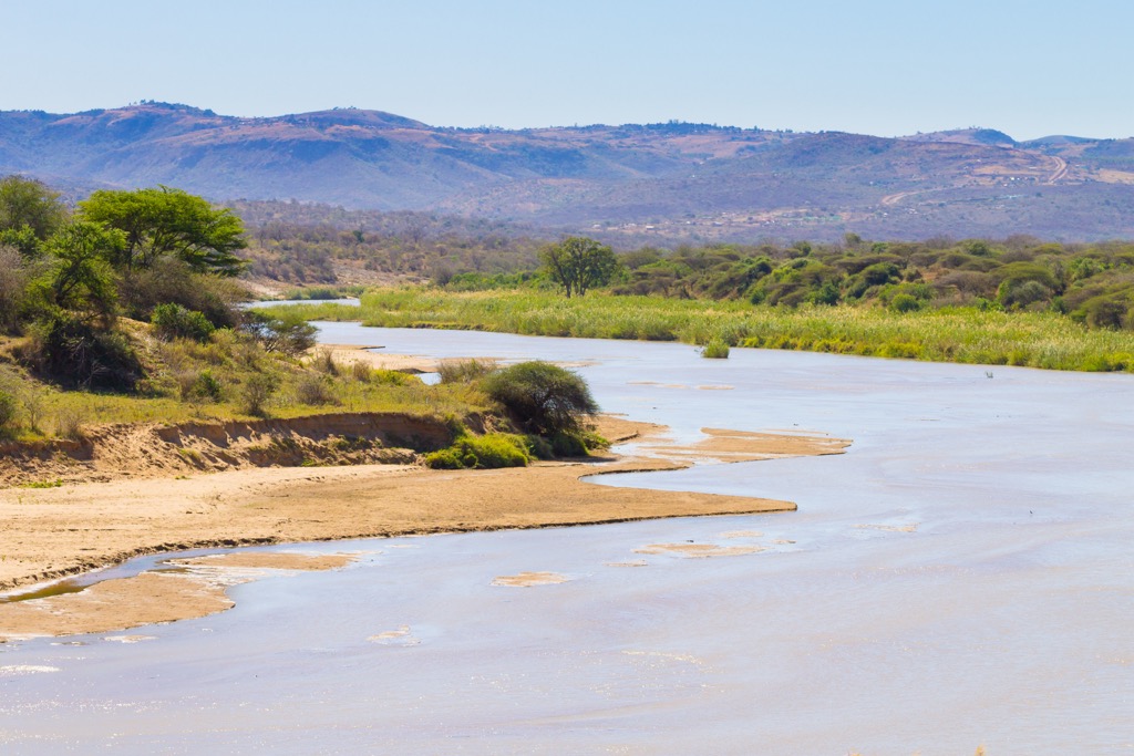
Hluhluwe-iMfolozi Park is geologically based on ancient Precambrian formations. Its bedrock consists mainly of granites, gneisses, and quartzites from the Natal Metamorphic Province, along with shale and sandstone.
The Hluhluwe and Black and White iMfolozi rivers have shaped valleys and floodplains, supporting diverse ecosystems. Soils in the park vary by rock type. Quartzite-derived soils support grasslands, while shale-derived soils are more fertile and promote denser vegetation.
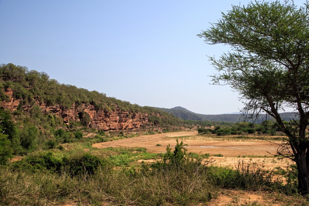
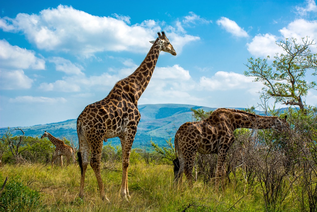
Hluhluwe-iMfolozi Park features diverse ecosystems, including savannahs, grasslands, and riverine forests. The varied landscape sustains a range of plant species, like acacia trees and grasses, which in turn support herbivores such as zebras, giraffes, and antelopes.
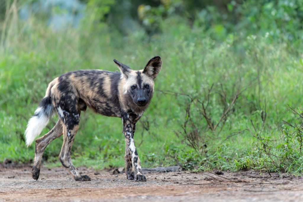
The park is home to the Big Five, which includes lions, elephants, buffalo, leopards, and rhinos, and it plays a key role in rhino conservation, especially for the white rhino. It also supports predators like cheetahs, wild dogs, and hyenas, as well as over 350 bird species.
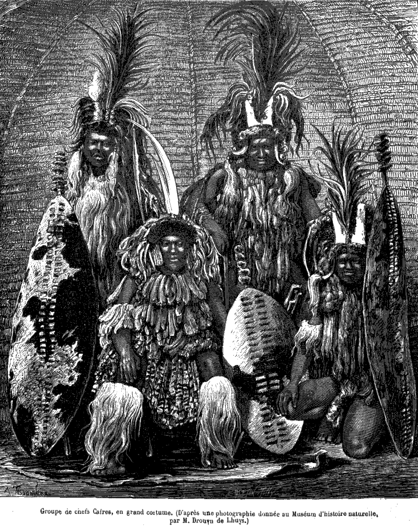
Hluhluwe-iMfolozi Park has been home to the Zulu people for many centuries. The Zulu Kingdom, especially under Shaka Zulu in the early 1800s, ruled this region before British colonization.
When Europeans arrived in the 19th century, conflicts arose over land between British settlers and the Zulu people. The British took control of Zululand, leading to the loss of land for the Zulu people. At the same time, colonists hunted wildlife, including white rhinos, which significantly reduced their numbers.
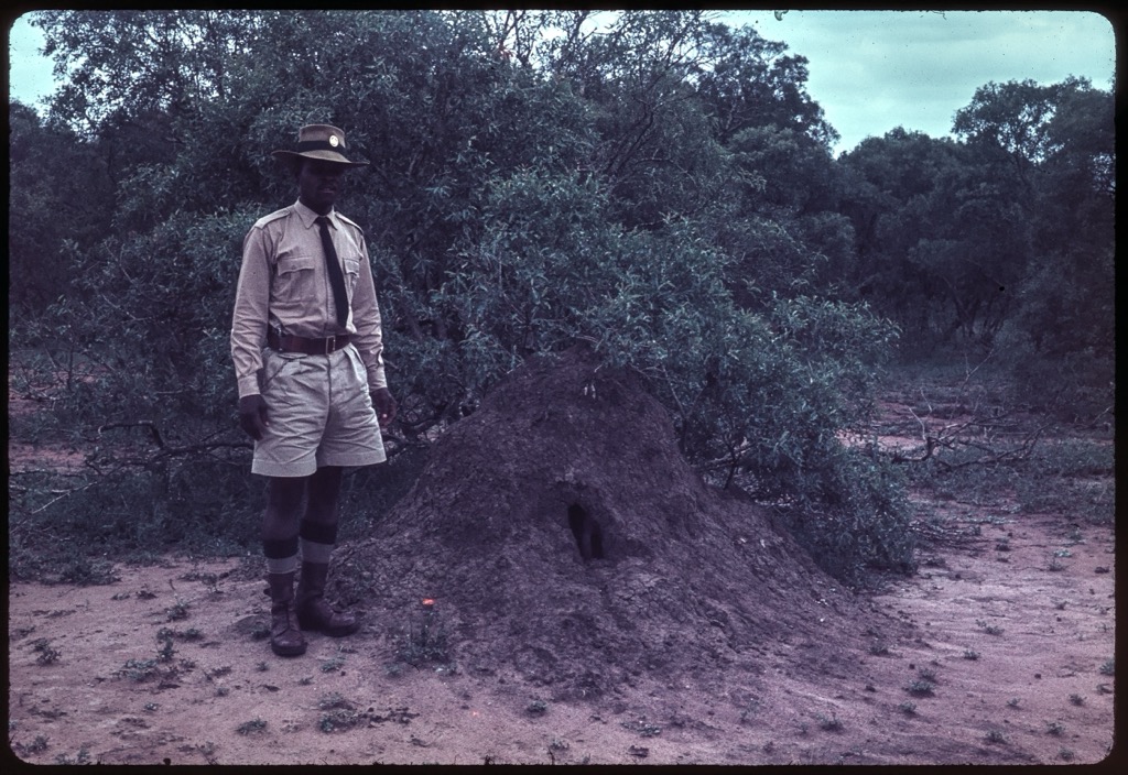
In 1895, the Hluhluwe Game Reserve was created to protect wildlife, especially the white rhino. In 1925, iMfolozi was added, and in 1960, the two areas were merged to create Hluhluwe-iMfolozi Park, marking the beginning of formal wildlife conservation efforts in the region.
The park became central to the conservation of the white rhino, with Dr. Ian Player leading successful recovery efforts in the mid-20th century. All animal populations, including rhinos, have made remarkable comebacks over the last century. However, since the 2000s, South Africa has seen a severe uptick in rhino poaching due to intense demand for rhino horns in southeast Asia, particularly Vietnam. In Kruger National Park alone, over 10,000 rhinos have been poached in the last decade, and the population of white rhinos has been reduced to 2,800 individuals.
During apartheid, many indigenous people were moved from protected areas like the park. After apartheid ended in 1994, conservation efforts became more focused on involving local communities in decision-making and land management.
Today, Hluhluwe-iMfolozi Park is one of South Africa’s most important conservation areas. Conservation efforts focus on sustainable land use, anti-poaching technology, and working with local Zulu communities, who are now involved in tourism, farming, and wildlife management.
iMfolozi Wilderness Trails feature a variety of hiking trails for different hiking experiences. The Primitive Trail offers hikers a raw and immersive hiking experience. This five-day trail is entirely self-sufficient, meaning hikers carry their gear and food, and no established camps or facilities exist. The trail often involves sleeping under the stars without tents or modern conveniences. The focus is on total immersion in nature, far from human habitation. Guides lead the way, ensuring safety in a landscape inhabited by large game like elephants, rhinos, and lions.
The Explorer Trail is a five-day walking safari. The first and last nights are spent at the camp, with the middle two nights under the stars in the iMfolozi Wilderness Area. Hikers cover 10 to 15 km (6 to 9 mi) daily, passing through riverine forests, grasslands, and valleys while observing wildlife. Guides provide insights into tracking, survival, and local ecology.
The Short Wilderness Trails offer two- and three-day hikes through Big Five territory, with less physical demand than longer Primitive and Explorer trails. The trail is suitable for hikers with less wilderness experience while still offering walks through the park's diverse terrain. Nights are spent in basic camps, and the focus remains on observing the park's rich biodiversity.
The Base Camp Trail is a four-day trail where hikers stay at the Mndindini Trails Camp. Daily walks cover 7 to 14 km (4 to 9 mi), allowing hikers to explore the wilderness area while returning to the comfort of the base camp each night. The Base Camp Trail is less strenuous than the other trails, allowing for day hikes in the surrounding area before returning to the base camp.
Richards Bay is a large industrial town located in the northern KwaZulu-Natal province. It is situated about 160 km (100 mi) northeast of Durban and has grown into one of South Africa's most important economic hubs, particularly for shipping, industry, and mining.
Alkantstrand Beach is one of the most popular beaches in the area. It is known for its long stretches of sand and offers excellent conditions for water sports like surfing and kiteboarding.
Located nearby is the iSimangaliso Wetland Park, a UNESCO World Heritage Site. Visitors can enjoy game drives to see wildlife such as elephants, rhinos, and giraffes or explore the park's diverse ecosystems through canoeing and boat tours. Birdwatchers will find the park particularly rewarding, with over 500 bird species.
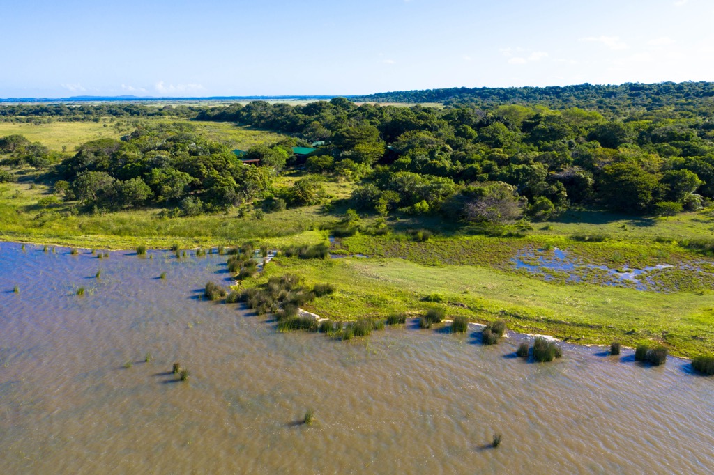
Enseleni Nature Reserve, located just outside Richards Bay, features walking trails through coastal forests and wetlands. This 293-ha (724 ac) reserve has walking trails that wind through lush vegetation, with opportunities to spot zebras, various antelope species, and over 200 bird species.
Durban, officially known as eThekwini, is the third-largest city in South Africa, after Johannesburg and Cape Town. Located on the country's eastern coast along the Indian Ocean, it’s a major port city and a key hub for commerce, tourism, and culture.
One of the top attractions in Durban is its beaches. The Golden Mile, a stretch of beaches along the city's coastline, includes popular spots like North Beach, South Beach, and uShaka Beach. Durban is also renowned for its surf spots, including New Pier and Dungeons, which cater to both beginners and experienced surfers.
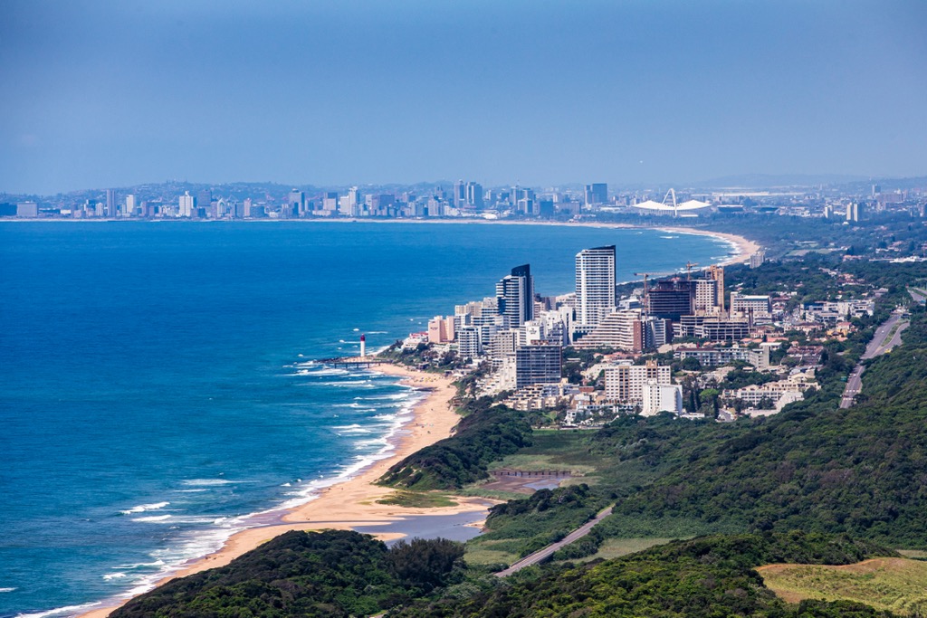
The Valley of a Thousand Hills, located just outside the city, is perfect for hiking. The area features rolling hills, rivers, and small Zulu villages, and hikers can enjoy various trails with views of the valley and surrounding areas.
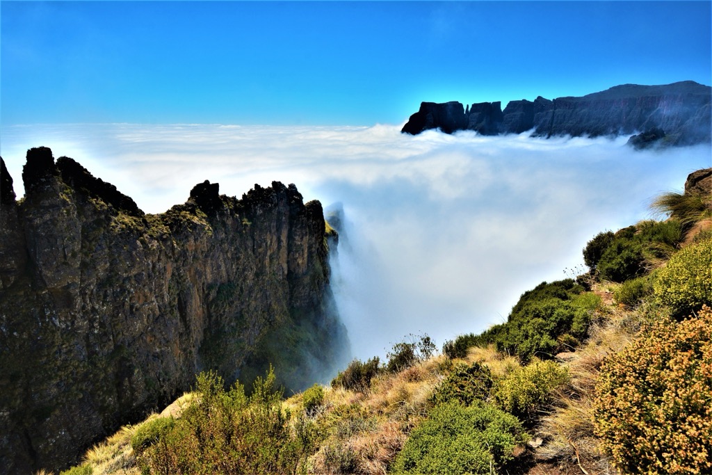
While not located within Durban, the Drakensberg Mountains, about a three-hour drive away, are an excellent destination for hiking and rock climbing. This UNESCO World Heritage site offers some of South Africa's most spectacular mountain scenery and a chance to explore ancient San rock art.
Explore Hluhluwe-iMfolozi Park with the PeakVisor 3D Map and identify its summits.


