Get PeakVisor App
Sign In
Search by GPS coordinates
- Latitude
- ° ' ''
- Longitude
- ° ' ''
- Units of Length

Yes
Cancel
❤ Wishlist ×
Choose
Delete
The Waterberg District Municipality is one of five districts in the Limpopo province of South Africa, known for its wildlife, particularly the large mammals of the Waterberg Mountain Range. Economically, the district is rich in minerals and has historically been important in mining. Waterberg District Municipality serves as a link between Gauteng and Limpopo’s interior. There are 170 named mountains in the district; the highest and most prominent is Kransberg, measuring 2,091 meters (6,860 ft).
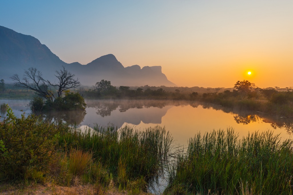
Waterberg District Municipality covers approximately 4,900,000 ha (12,108,164 ac) and is one of the largest districts in the province of Limpopo. The municipality is in western Limpopo, bordering Botswana to the west and Gauteng and North West provinces to the south and southwest. The district is named after the Waterberg Mountain Range and the Waterberg Biosphere Reserve, a UNESCO-recognized site.
Rugged hills and plateaus dominated the district's terrain, with elevations ranging from 1,000 to 2,000 meters (3,281 to 6,562 ft). The Waterberg Mountains dominate the landscape and are part of an ancient geological formation over 2 billion years old.
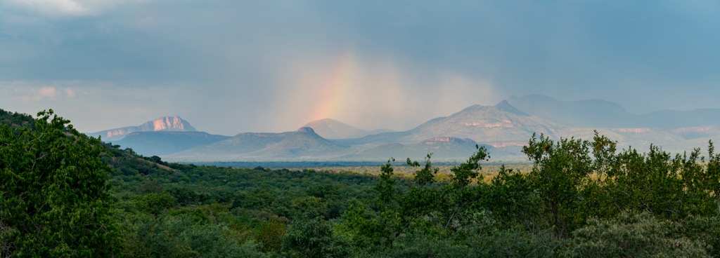
Waterberg's climate varies from semi-arid to subtropical, depending on elevation and location. Summers, from November to March, are hot, with temperatures often exceeding 30°C (86°F), while winters, from June to August, are mild to cool, with temperatures occasionally dropping below 5°C (41°F). Most rainfall occurs in the summer, with annual precipitation between 400 and 700 mm (16 to 27 in), depending on the area.
Several important rivers and wetlands support the district's agriculture and wildlife. Major rivers include the Mokolo, Limpopo, and Lephalala.
Waterberg is notable for its biodiversity and conservation efforts. The Waterberg Biosphere Reserve covers much of the district, featuring savanna woodlands, grasslands, and charismatic wildlife like elephants, rhinos, and leopards. Marakele National Park, located within the district, is a key conservation area that protects endangered species and facilitates an eco-tourism industry.
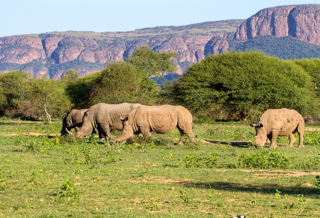
The Waterberg District Municipality is dominated by the Waterberg Group, which consists of ancient sedimentary rocks like sandstone and shale. These rocks, formed over 2 billion years ago, create high cliffs and valleys. Meanwhile, the Waterberg Massif is a large plateau shaped by tectonic uplift.
The region also has igneous rocks like granite and dolerite from volcanic activity, as well as karst landscapes with caves and underground rivers due to the erosion of limestone and dolomite.
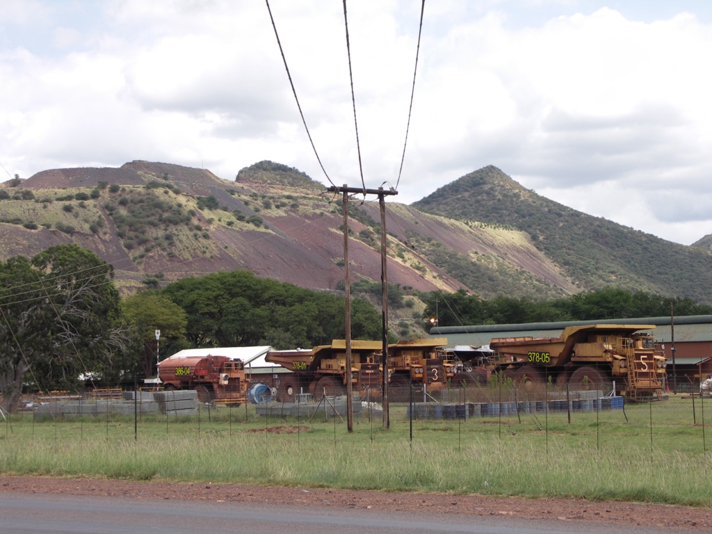
The district is rich in mineral resources, including coal, platinum, and chromium, partly due to the nearby Bushveld Igneous Complex.
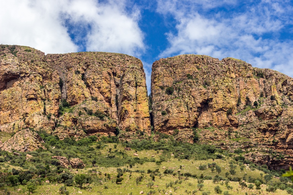
The Waterberg District Municipality is an ecologically rich area renowned for its biodiversity. The region is part of the Savanna Biome, which features a mixed landscape of grasslands and sparse woodland. Iconic tree species include acacias, marula trees, and baobabs. Other important vegetation types include broad-leaved woodland and riparian forests along the rivers, where species like jackalberry and wild fig thrive.
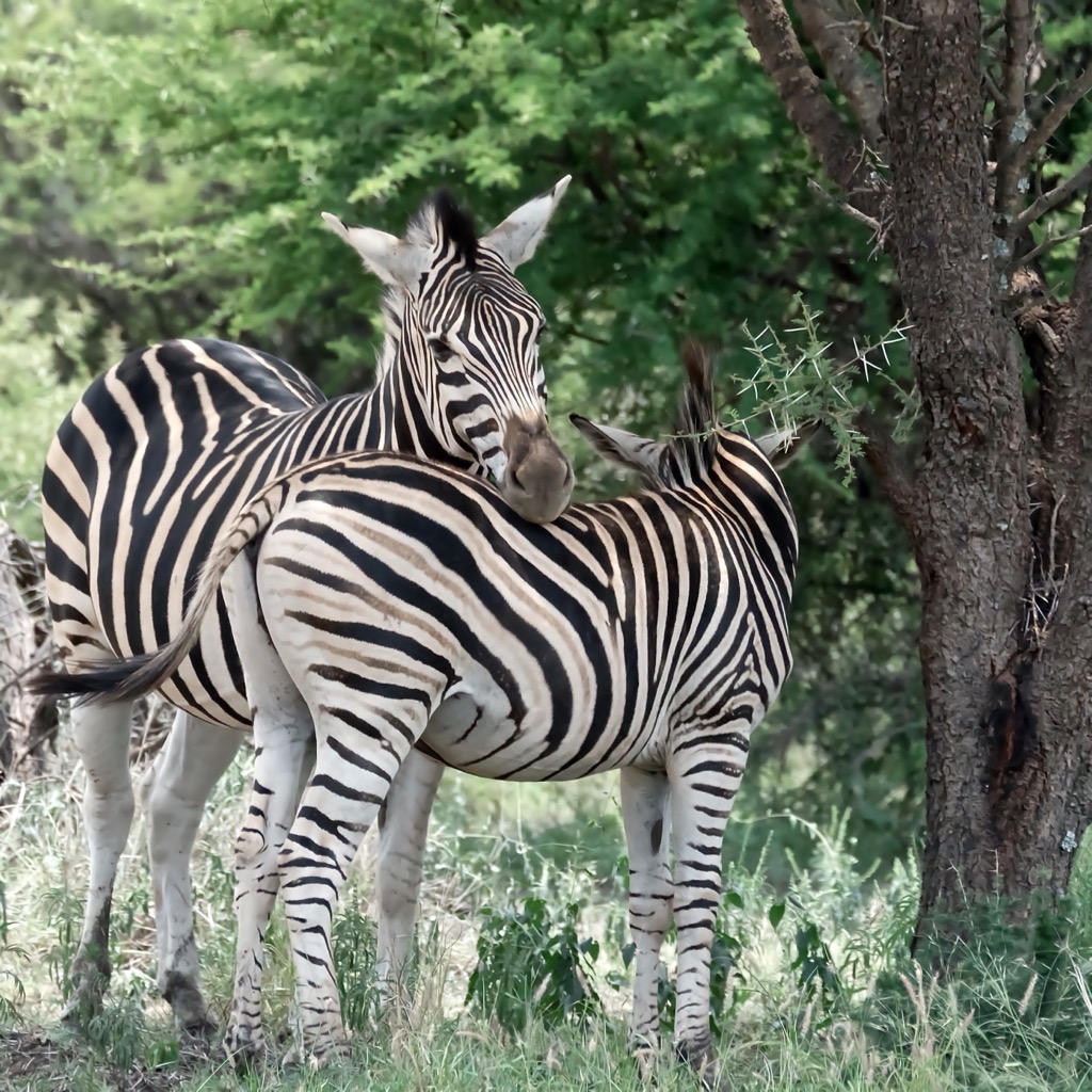
Wildlife is abundant, with the Big Five (lion, leopard, elephant, buffalo, and rhino), large herbivores, predators, and various bird species. Protected areas like the Waterberg Biosphere Reserve and private game reserves support conservation and eco-tourism.
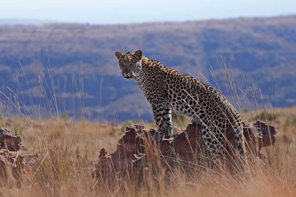
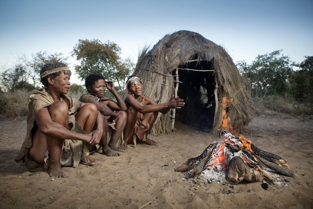
The first human presence in the Waterberg District Municipality was the San people, known for their hunter-gatherer lifestyle and ancient rock art. Around the 3rd century CE, Bantu-speaking groups of the Venda and Tswana people moved into the region and formed communities.
In the 19th century, Dutch and British settlers arrived in the area, and conflicts over land and resources ensued. The colonial period saw the forced removal of local communities and the disruption of traditional lifestyles.
During the apartheid era in the 20th century, the South African government enforced laws that separated people based on race. Many Black South Africans were removed from their homes and placed in designated areas called homelands. Groups like the African National Congress fought against these unfair laws in the Waterberg area and the rest of South Africa.
For decades, South Africa was a pariah state, an outcast in the international community. After apartheid ended in the early 1990s, the Waterberg District Municipality was created in 1994 as part of the new democratic government. South Africa has begun a slow but sure integration into the international community, led largely by ecological diversity like that in the Waterberg District Municipality.
The Skuerkrans Hiking Trail is in the Waterberg Mountains near Naboomspruit in Limpopo Province. This trail features two main routes: the challenging 9 km (5.5mi) Leopard Trail, marked by leopard-paw prints, which takes hikers through thick bushveld and up steep ascents to a plateau with sweeping mountain views of Hanglip, Vosdal, and Charles Hope. The moderate 6 km (4 mi) Bobbejaan Trail is marked by baboon footprints, which meanders through indigenous forests and up to scenic mountain tops.
The Stamvrug Hiking Trails consist of eight trails, ranging from 4 km to 13 km (2.5 mi to 8 mi), traversing landscapes such as grassy plains, ravines, hills, streams, and wooded areas. Notable trails include the moderate Zebra Trail, which connects the Stamvrug and Kloof base camps, and the challenging Sunset Trail, which leads to the area’s highest point with panoramic views. The Kloof and Leopard Trails are two-day backpacking routes with rugged terrain and wildlife sightings.
The Waterberg Kruin Hiking Trail is a two-day hiking trail covering 25 km (15.5 mi). The first day, known as the Perdekop Route, covers 18 km (11 mi) and takes about 9 hours, featuring a mix of easy paths and a strenuous ascent to Perdekop, with an elevation of 1,713 meters (5,620 ft). The second day, the Skilpad Summit, is a shorter 7 km (4 mi) trek on relatively flat terrain, providing beautiful views of the Waterberg from Skilpadkop.
The Diepdrift Hiking Trails is located on a 4,000 ha (9,884 ac) game farm near Bela-Bela in the Waterberg region of Limpopo. It offers hikers a diverse range of hiking trails, including the 24 km (15 mi) Hippo Pool Hiking Trail, which takes hikers through the bushveld to a hippo pool, and the equally long Sable Hiking Trail, known for its challenging climbs and plateau views of Zwartkloof and Mabalingwe Nature Reserve. Shorter hikes include the 4 km (2.5 mi) Bontebok Hiking Trail through undulating hills, while the 8 km (5 mi) Klipspringer Hiking Trail showcases unique rock formations and wildlife.
Thabazimbi is a small town in Limpopo located at the base of the Waterberg Mountains. The town is around 260 km (161 mi) from Johannesburg and offers access to wildlife reserves and outdoor activities.
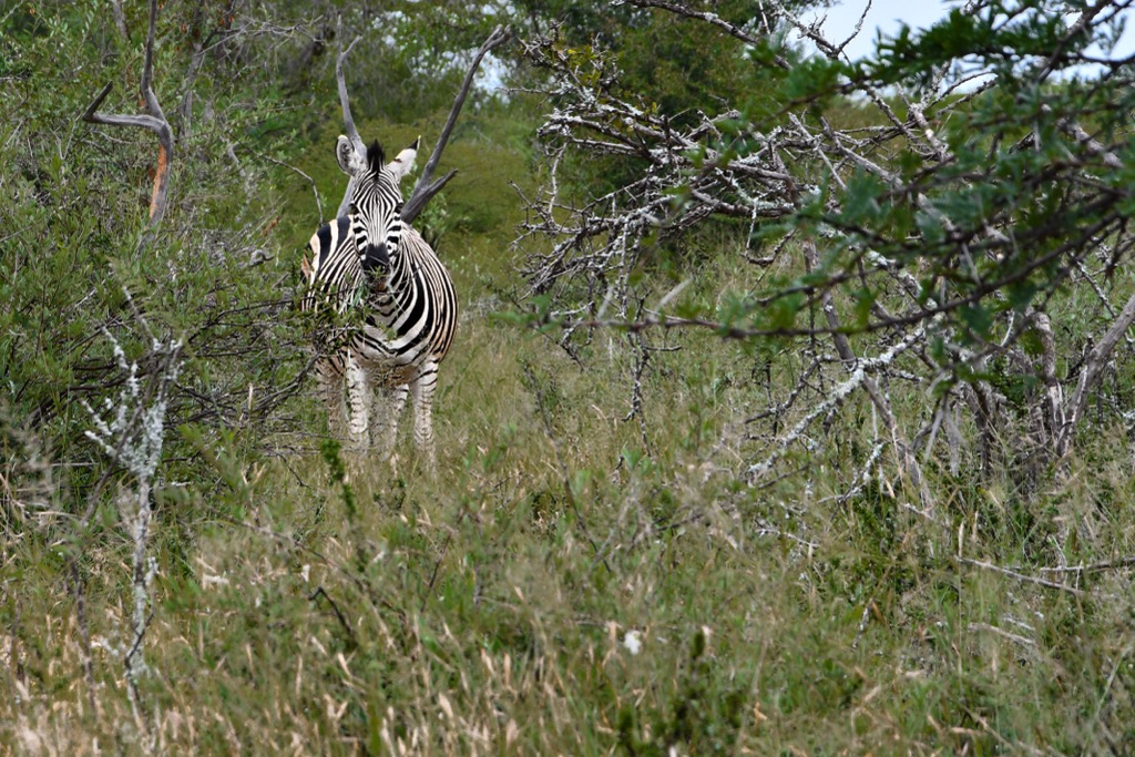
Marakele National Park offers diverse wildlife, including the Big Five and mountain scenery. It’s also known for having one of the world’s largest Cape vulture colonies. Thabazimbi Nature Reserve is a smaller reserve near the town. It offers hiking and game drives with sightings of impalas, zebras, and bird species. It’s a good option for those seeking a quieter safari experience.
Atherstone Nature Reserve is a bit farther out of the town. The reserve is great for self-drive safaris and birdwatching. Without large predators, it’s safe for walking safaris and home to species like cheetahs and elephants.

Bela-Bela in Limpopo Province, surrounded by bushveld and game reserves, is known for its hot mineral springs and natural splendor. Formerly called Warmbaths, the town's name means ‘the boiling pot’ in Tswana, referring to the geothermal springs.
The Bela-Bela Hot Springs are the town's main attraction, located at Forever Resorts Warmbaths. The thermal pools and hydrotherapy offer relaxation, with additional activities like water slides and swimming pools.
Nearby game reserves provide opportunities for wildlife viewing. Mabalingwe Nature Reserve offers Big Five safaris, while Sondela Nature Reserve features wildlife like giraffes and zebras along with nature walks.
Waterberg Zipline Adventures offers zipline over gorges, rivers, and dense bush, where visitors can enjoy panoramic views of the surrounding landscape.
Explore Waterberg District Municipality with the PeakVisor 3D Map and identify its summits.


