
Scan the QR code and open PeakVisor on your phone
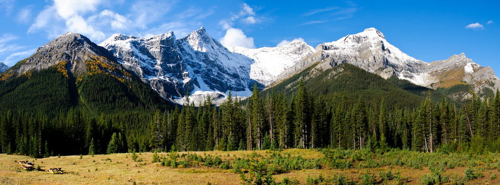
Rocky View County is located in Alberta, Canada. The county surrounds the city of Calgary and on the northern, western, and eastern sides. Though Calgary itself is a major city, Rocky View County has a population of around 40,000 and covers 1,481 square miles. Within the county lies fourteen separate hamlets, which are smaller in size than modern day cities or towns. There are 26 named mountains in Rocky View County. The highest and the most prominent mountain is Wildcat Hills standing at 5,105 feet with 682 feet of prominence.
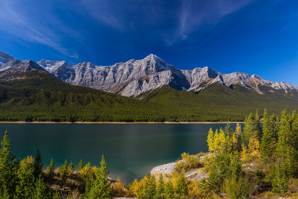
The county was originally established in 1955 and quickly got its name based on the impeccable views of the Rocky Mountains that lie just to the west. Nestled within the foothills of the mountain range, Rocky View County if surrounded by outdoor adventure. The close proximity to the mountains has left the county with rich soil ideal for agriculture. The western region of the county is more rugged with a majority of the mountains being located there. The northern and eastern sections of the county are relatively flat and dominated by farmers and ranchers. Despite being located in so close to Calgary, Rocky View County is classified as rural.
Glenbow Ranch Provincial Park: The Glenbow Ranch Provincial Park spans just 5.2 miles across the county. The park sits along the north bank of the Bow River. The park stretches into the outskirts of Calgary but is primarily made up of the rolling hills. Established in 2008, the park was created after a family sold 1,000s of acres to the Government of Alberta. There are seven trails throughout the park just north of the Bow River. Throughout the rolling hills lie nearly 25 miles of paved pathways to explore.
Big Hill Springs Provincial Park: The Big Hill Springs Provincial Park covers less than a square mile across the county but protects a series of waterfalls that flow throughout the year. The springs emerge from the rugged landscape before flowing into Big Hill Creek located at the eastern end of the park. A small trail leads through the park and a series of trails can also be found just west of the park within the Rocky Mountain foothills.
Bragg Creek Provincial Park: Located in the western region of the county lies Bragg Creek Provincial Park. Nestled in the foothills of the Rocky Mountains, the park sits near the Elbow River and is full of hiking trails. Popular trails include the Banded Peak Bend, Alder Trail, and the Bragg Creek Loop.
Rocky View County surrounds the city of Calgary, Alberta. This major city is located at the confluence of the Elbow and Bow Rivers in the foothills of the Canadian Rockies. The city has a population of 1.4 million making it the fourth largest city in the entire country of Canada. Due to its proximity to the mountains, Calgary is a popular destination for outdoor sports. In the summer months the city is full of hiking, running, and mountain biking trails. In the winter months the area is full of skiing, cross-country skiing, hockey, and snowshoeing.


