Scan the QR code and open PeakVisor on your phone
The Regional District of Okanagan-Similkameen is located in southern British Columbia, with its southern boundary being marked by the Canada-USA border. The regional district covers a region spanning 10,411 square kilometers across the province. The population of the region is estimated to be at 85,000 though the region is projected to grow immensely over the coming decades. Manning Park lies to the west of the district, Peachland to the north, and Anarchist Mountain sits to the east. The Regional District of Okanagan-Similkameen is known for its moderate climate and plethora of outdoor activities. As the cost of living and population continue to grow in the Vancouver metro area, more people are attracted to this nearby region.
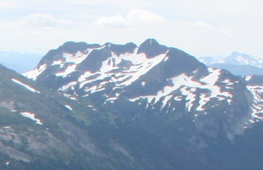
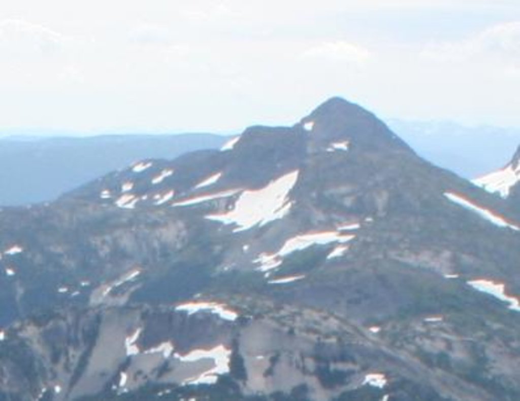
There are 143 named mountains in the Regional District of Okanagan-Similkameen. Grimface Mountain is the highest point at 2,629 meters. The most prominent mountain is Apex Mountain with 1260 meters of prominence. Much of the
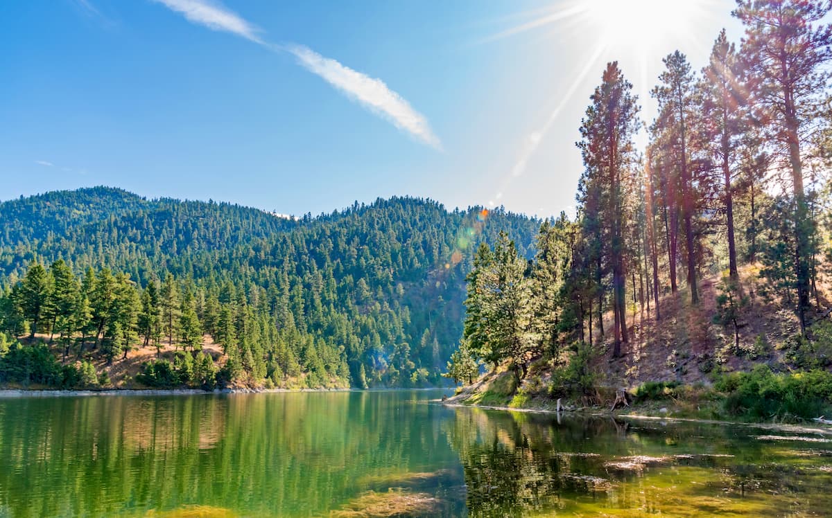
Okanagan Mountain Park: As the biggest park within the region, Okanagan Mountain Park covers 11,038 hectares. Surrounding the lake below are seemingly countless trails through the rugged mountains, grasslands, and forests. Trails can only be accessed by foot, on bike, or no horseback, making for secluding hiking and remote viewpoints of the lake below. The park is located on the east side of Okanagan Lake between the cities of Kelowna and Penticton. Popular hikes include Wildhorse Canyon, Boulder Trail, and Coyote Peak.
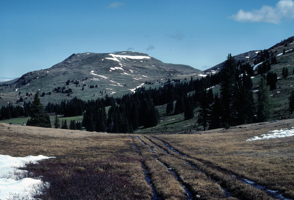
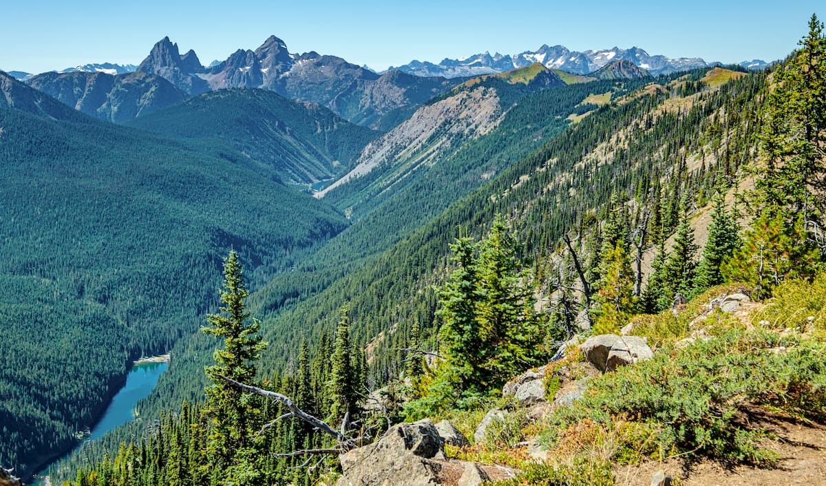
EC Manning Park: Covering 83,671 hectares, EC Manning Park is the second largest provincial park within the Regional District of Okanagan-Similkameen. The park is known for being an outdoor paradise that can be accessed and enjoyed year-round. The park is full of a diverse landscape which is often why so many people come to visit. During the summer months hikers flock to the region to witness the numerous fields of wildflowers and stunning mountain peaks. The park also offers a wide range of hiking trails, from a short walk to a multi-day trip across the park. Popular trails include Three Brothers Mountain, Frosty Mountain, and Lightning Lake Loop.
Skagit Valley Park: Though smaller than other parks in the region, Skagit Valley Park is a stunning place to explore. The park covers 28,000 hectares and has over 50km of trails throughout. The Skagit Valley, where the park lies, has been created by the retreating of glaciers, leaving behind stunning mountains, rivers, and lush forest, perfect for outdoor activities. Major hikes include Skagit River Trail, Chittenden Meadow Trail, and Lone Goat Mountain.
Other smaller provincial parks and protected areas include Coquihalla Summit Recreation Area, Cathedral Park, Snowy Protected Area, and Brent Mountain Protected Area.
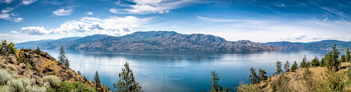
The largest city with the regional district is Penticton with a population of just over 33,000. The city sits between the Okanagan and Skaha lakes. The name Penticton is derived from the native Okanagan language and roughly translates to “a place to stay forever”. Much of the surrounding land is characterized by orchards and vineyards while the higher elevation is dominated by pine and fir trees. To the east of the city lies Monashee Mountain while to the west sits the Apex Mountain Resorts. Nearby mountains offer the opportunity for year-round outdoor activities.
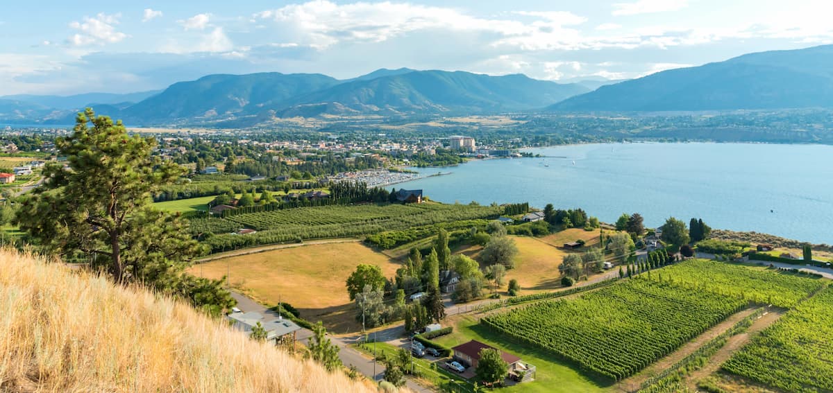
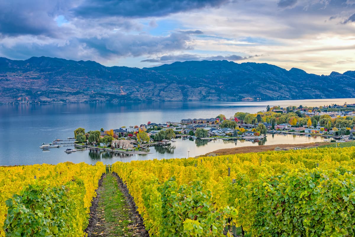
Just north of the regional district lies the city of Kelowna. Located on Okanagan Lake within the Okanagan Valley of British Columbia, Kelowna is the seventh largest city within the province. The term Kelowna is derived from the Okanagan language term for grizzly bear. The city sits on the eastern shore of Okanagan Lake and is a notable stop within the wine country. During warmer months the town is full of water sports, hiking, biking, and running. Take a trip to Myra Canyon on the reclaimed Kettle Valley Railway. From there cycle through tunnels and along a steep canyon rock face.