
Scan the QR code and open PeakVisor on your phone
The narrowest region in Chile as well as one of the most mountainous, the Región de Coquimbo is a premiere location for exploring the Chilean Andes and the country’s coast. Though it is only the 8th most populous region, with a population of around 740,000, the region is a very popular destination.
This is namely for its endless beaches, but also supported by a rich cultural and indigenous history, while also being a hub for astronomical observation.
Coquimbo boasts 712 named mountains, with its highest point being Olivares del Limite, at 6,223m/20,417ft, but its most prominent being the Cerro Las Tórtolas, at a prominence 1,387m/4,551ft.
The Región de Coquimbo rests on a narrow strip of land, with a minimum width of 90km/56mi, between the Región de Atacama above and the Región de Valparaíso below. To the east, separated by the Andes, is the Argentinian province of San Juan, and to the west is the Pacific Ocean.
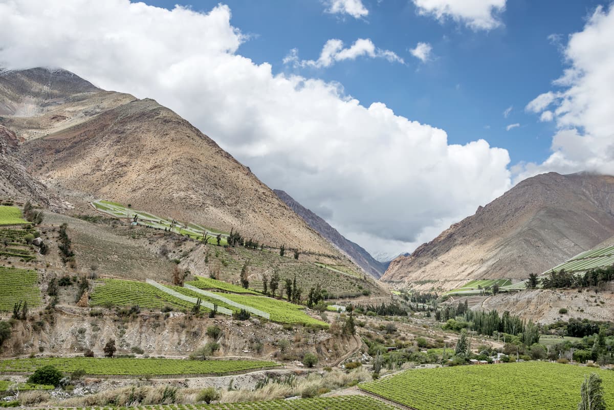
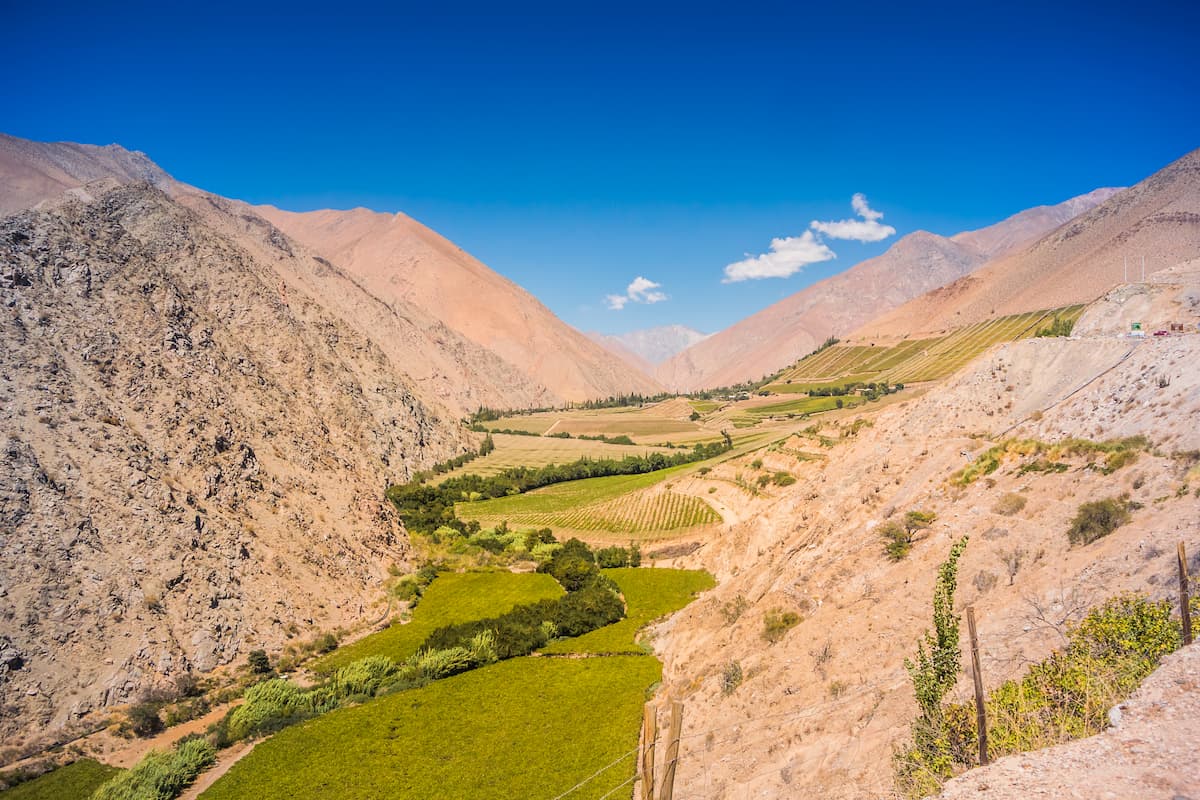
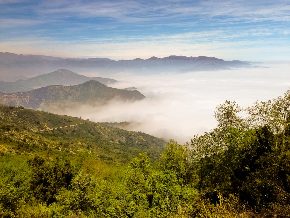
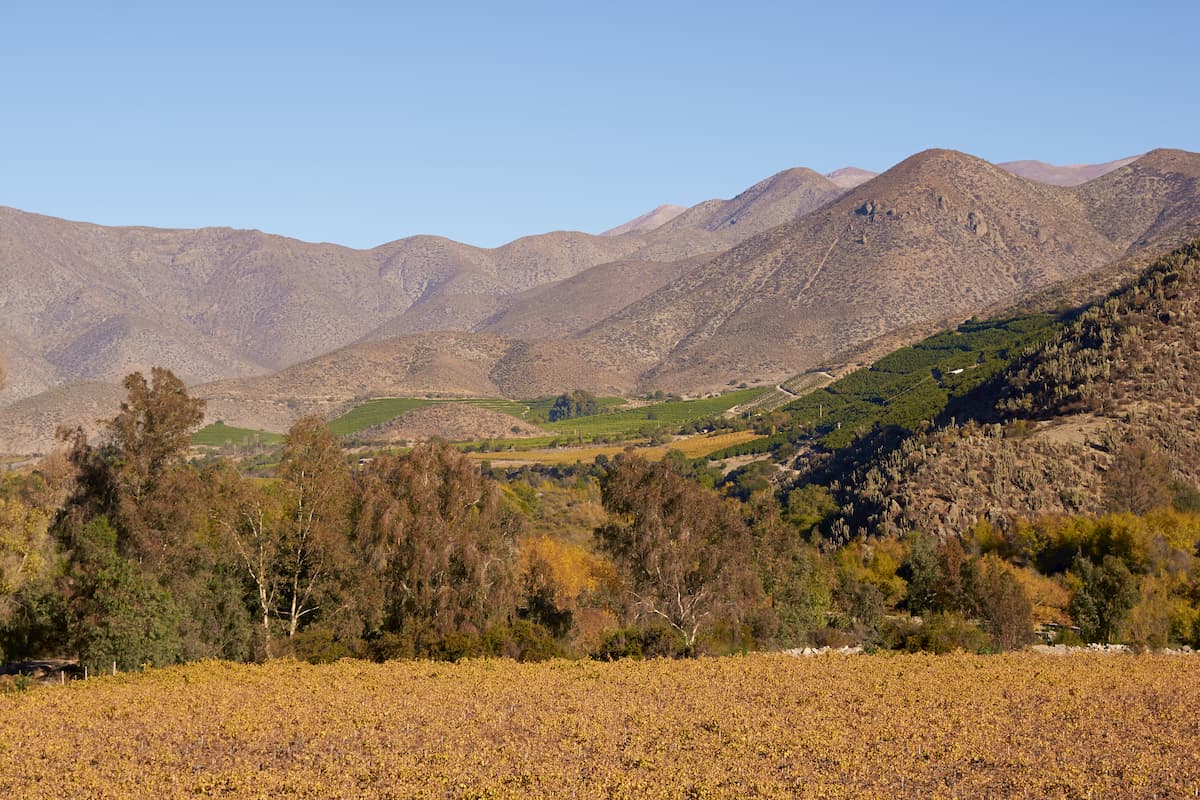
Coquimbo contains several of Chile’s Transverse Valleys, which cut across perpendicular to the main Andes mountain chain and thus carve through the country horizontally. These include the Elqui Valley, running across from La Serena in the northern portion of the country, the Limarí Valley, in central Coquimbo, and the Choapa Valley, in the southern portion. Each of these valleys contain rivers bearing the same name.
The melting of Andes snow contributes to the water moved by the rivers, resulting in irregular flows from season to season due to varying precipitation levels and occasional drought. Because of this, several reservoirs have been established to collect freshwater when possible.
The shores of the Región de Coquimbo are a site of much coastal upwelling during the spring and summer. Generally, the beaches of Coquimbo are known for their calm seas and soft white sand.
Within the Región de Coquimbo is the sedimentary Coquimbo Formation, consisting mainly of conglomerate, sandstone, siltstone, shale, and coquina, as well as clay lenses and terra rossa. Many fossils have been found in this formation, whose lowermost unit is from the lower Miocene, and whose uppermost unit is from the Middle Pleistocene.
Erosion due to sea level changes throughout the Holocene have cut numerous marine terraces into the formation, which many of the region’s coastal cities lie upon.
Fossils can be likewise found in the Viñita Formation, a Late Cretaceous formation of sandstone and shale where numerous dinosaur remains have been recovered.
The region is also home to the Elqui-Limarí Batholith, a collection of igneous intrusions called “plutons” which displace existing rock to push out room for themselves. These plutons were cooled in the Late Paleozoic and early Mesozoic, and along with the Chilean Coastal Batholith and the Colangüil Batholith, is a remnant of the volcanic arcs that spurred the eruption of the Choiyoi volcanoes.
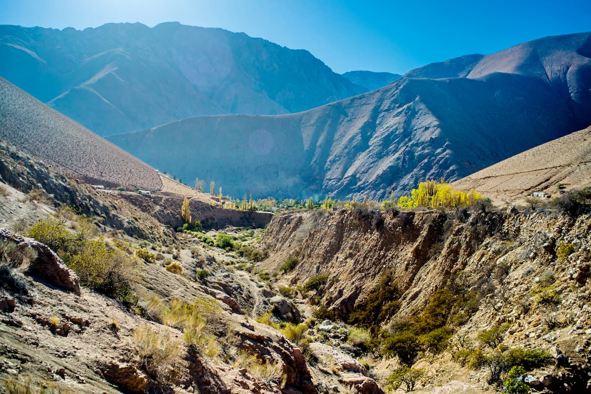
As mentioned, the Región de Coquimbo is primarily made up of a series of Transverse Valleys running east to west, connecting the Andes to the coast. Each of these valleys are structured around river systems that empty out into the Pacific.
The western portion of Coquimbo is part of the Chilean Iron Belt, a north-south belt that extends between the cities of La Serena and Taltal, up in the Región de Atacama. The belt follows along the Atacama Fault System, though on its own it is about 600km/373ft, and was formed in the Cretaceous period from magmatic and hydrothermal processes. Here, iron-apatite, iron oxide copper gold ore deposits, and manto-type copper and silver are the primary deposits.
It is not just the iron belt that is of material importance, however, as throughout Coquimbo are deposits of metals, like manganese, gold, silver, copper, iron, and lead, and various minerals, such as apatite, gypsum, calcium carbonate, quartz, combarbalite, onyx, and lapis lazuli. Lapis lazuli is an especially significant and abundant mineral in the Andes, used very commonly in decoration and jewelry both today and throughout history.
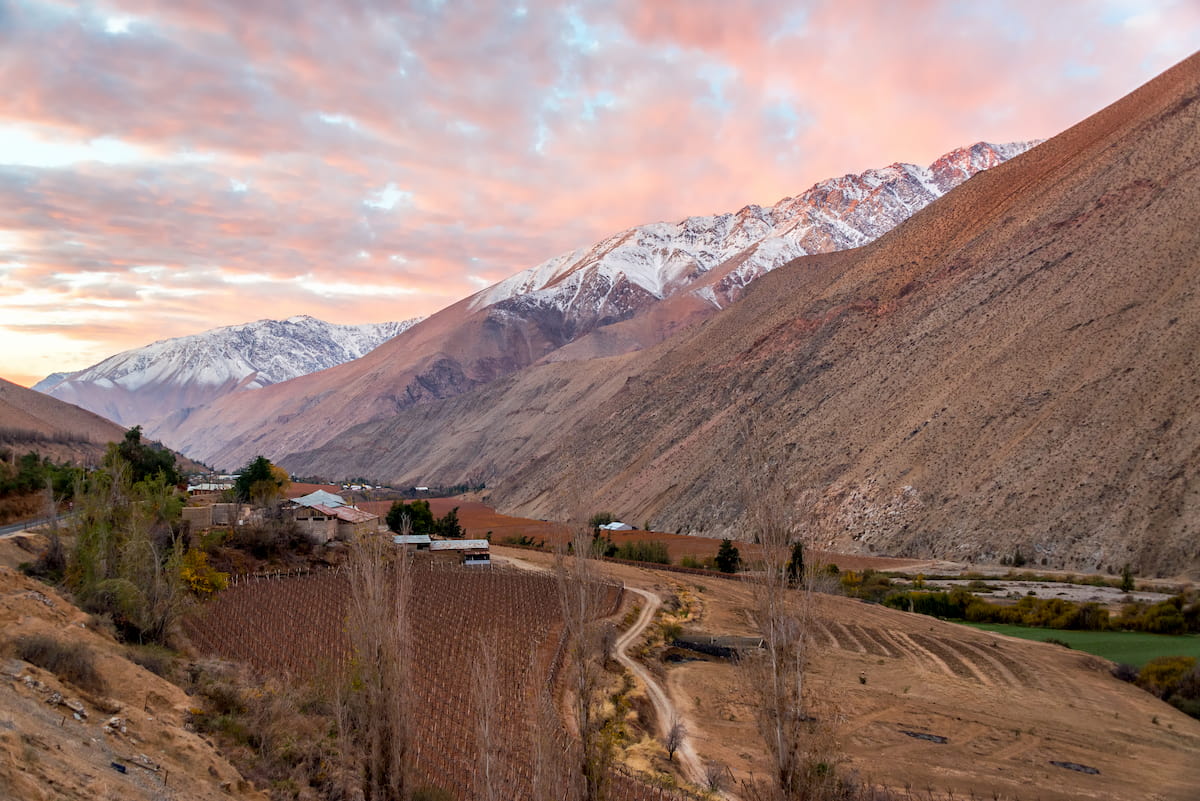
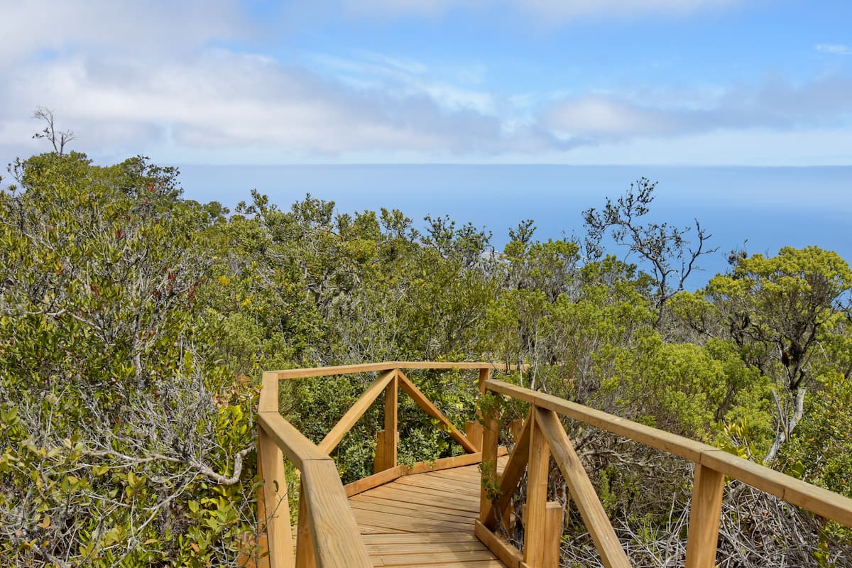
The Andes provide the Región de Coquimbo with a steppe-like climate, of bushy, scrubby vegetation and precipitation heaviest in the winter. On the coast, whose weather is kept moderate from the ocean’s influence, a wealth of clouds and coastal fog, known as camanchaca, have fostered the growth of Chile’s northernmost Valdivian forests.
Valdivian forests are lush and humid, home to a diversity of flora and fauna, especially among birds like hummingbirds, lesser horned owls, and hawks, alongside mammals like guanacos, degus, foxes, and pumas.
The upwelling that occurs seasonally off the Coquimbo coast results in a great biodiversity of marine life, as well. Also along the coast, a short distance from the mainland, is the Pingüino de Humboldt National Reserve, which houses, of course, Humboldt penguins, as well as sea lions, bottlenose dolphins, marine otters, sea turtles, whales, albatrosses, cormorants, and more.
Inland, the climate is warm and typically dry, with famous clear skies that make Coquimbo a hotbed for astronomical observations. Towards the Andes, the climate gets colder and is also rather dry, but often experiences dewfall.
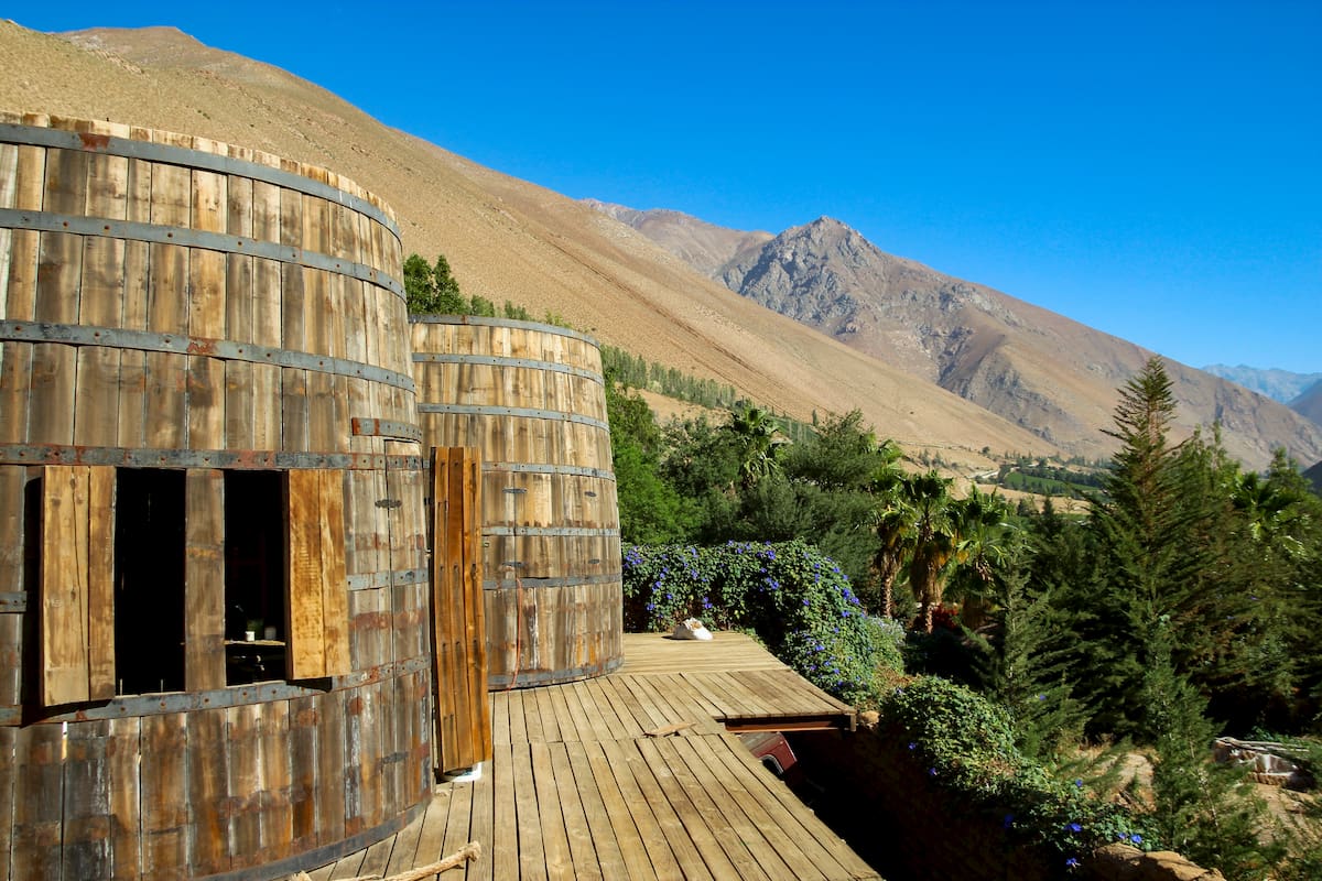
The fertile river valleys of the Elqui, Limarí, and Choapa are used extensively for agriculture, with the climate favoring the growth of olives, papayas, avocados, apricots, peaches, walnuts, and pisco grapes, from which Chile’s famous drink, Pisco Sour, is made. In the south, the rare Chilean wine palm can be found, one of the largest palm species in the world.
Inhabitants of the Región de Coquimbo, especially among its several Transverse Valleys, have been around for thousands of years, developing agricultural societies around 2,500 BC based on beans, squash, and corn. By 300 BC, the Molle culture was formed, known for the geometric nature of their decorated pottery and irrigation systems supporting their agricultural economy.
Around 800 AD, the Molle culture developed into the Las Ánimas culture, which would later evolve into the Diaguita culture. The Diaguitas developed intricate irrigation networks and a famous style of black, white, and red pottery, though it seems that there was little unification between the Diaguitas of different valleys.
Then, in the 15th century, the Inca conquered the Diaguitas, appointing their own kurakas, a type of magistrate, to watch over the valley lands. It was the Spanish conquest, however, that truly spelt the demise of Diaguita civilization, with a history of forced servitude and then a massive decline in indigenous populations in the 16th century.
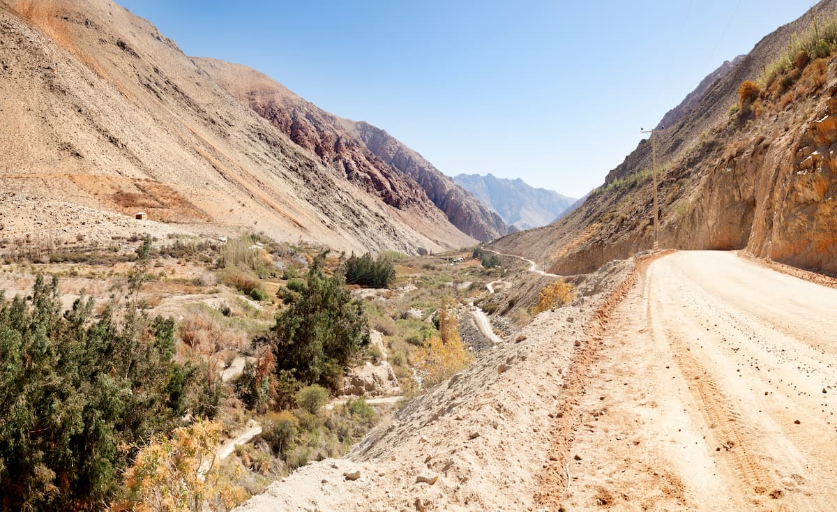
The Región de Coquimbo’s great physical diversity means that there is a vast quantity of hiking areas, some more well known than others. This is by no means an exhaustive list of all that Coquimbo has to offer, but does contain some of the more notable locations for hiking, whether it be through one of its many parks or up one of its many mountains.
On the coast of Coquimbo’s Provincia de Limarí, bordered to the south by the aptly named Limarí River, is the Parque Nacional Bosque Fray Jorge, a Ramsar site thus deemed a wetland of special importance to the international community. It is also the northernmost Valdivian temperate rain forest, a neotropical forest dominated by evergreens with thick bamboo and fern understories.
The park has a path through the hydrophilic forest of very low intensity, being around 1km/3,280ft long with only a gentle slope. An hour-long hike, the path can also be taken in a wheelchair, and it provides a wonderful viewpoint of the sea.
At an average height of 850m/2,789ft above sea level, the Reserva Nacional Las Chinchillas occupies extremely crucial land to prevent the last chinchilla colonies of Chile from extinction. Las Chinchillas offers opportunities for hiking throughout the park, offering beautiful views of and walks through the arid steppe.
The Monumento Natural Pichasca is best known for its archaeological discoveries, allowing visitors to dinosaur fossils and recreations, but also provides hiking trails of varying difficulties in the park itself and the surrounding Pichasca area.
The city of La Serena provides many hiking opportunities in and around its urban center. On the outskirts of La Serena is Cerro Grande, a popular site for ascents that offers amazing views of the Pacific Ocean, though there are a variety of hikes and treks around the city outside of Cerro Grande as well.
Cerro Las Tórtolas is regarded as an ideal first “high mountain” for mountain climbers, at an altitude of 6,156m/20,197ft. The full summit is nontechnical but nonetheless long and challenging, containing many straight, inclined stretches, and typically taking several days to ascend.
The Región de Coquimbo encompasses numerous cities known for their cultural richness, natural and architectural beauty, and pleasant weather.
La Serena, at almost 200,000 people, is one of the fastest-growing of these cities, having become a significant tourist destination largely due to its beaches and historic architecture. Much of the city was designed under its unique neocolonial style, with some significant buildings including the University of La Serena, Courts of Justice, and the Regional Ministerial Secretary of Education.
In terms of unique buildings, La Serena is also home to the Cathedral of La Serena, which is also the seat of the Roman Catholic Archdiocese of La Serena, and El Faro, a lighthouse located just by the Avenida del Mar. Along the Avenida del Mar are a stretch of those famous beaches, where many of La Serena’s festivals occur.
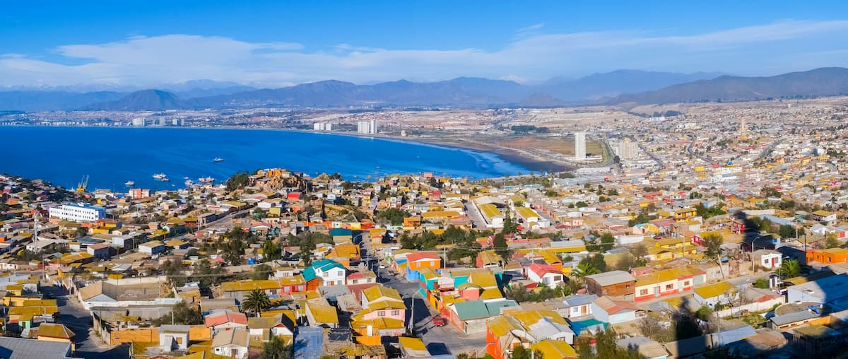
The city of Coquimbo is located just 10km/6mi south of La Serena, and forms with it the area of Greater La Serena. Like La Serena, Coquimbo also has a population of around 200,000 people, and its own seaside avenue of Avenida Costanera, which connects with the Avenida del Mar.
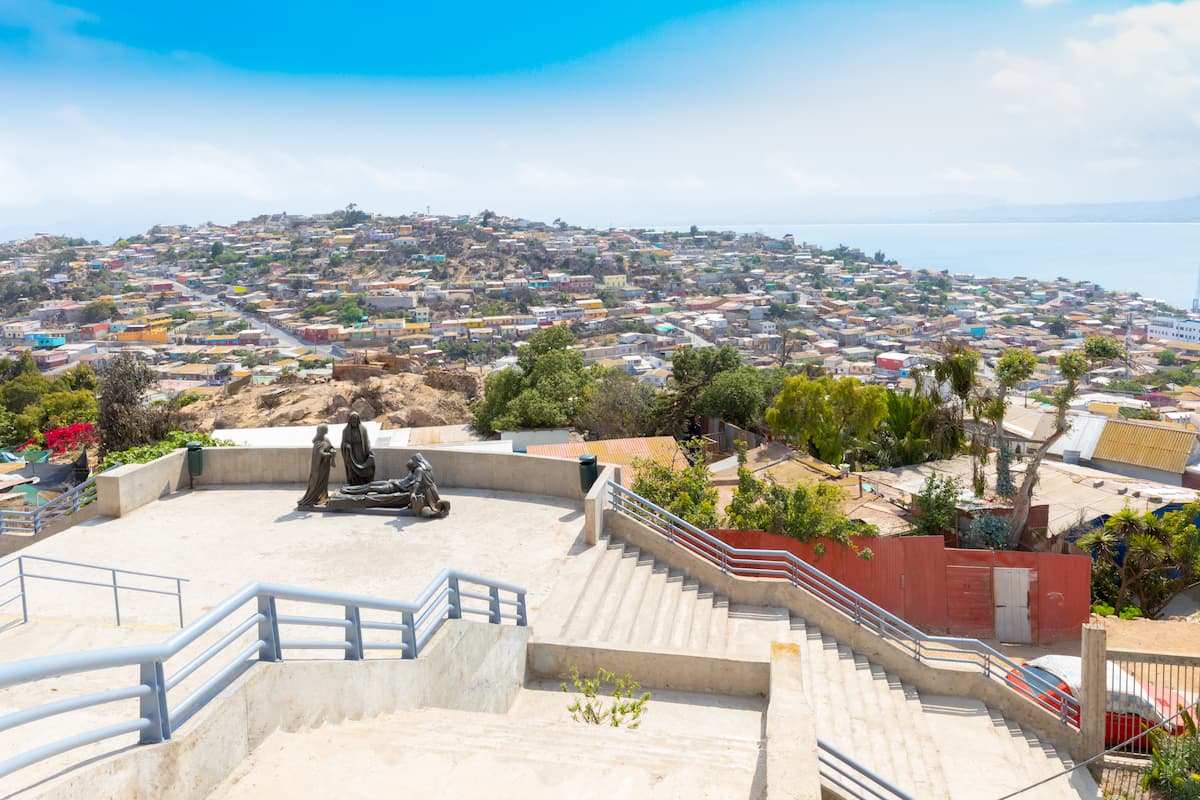
Coquimbo is a popular site for athletics, hosting a soccer stadium, amateur and professional car racing, and a growing surfing community. It also hosts a casino and the massive La Pampilla festival, among other festivals, and is where you can see such interesting constructions as the towering Cruz del Tercer Milenio, an 83m/272ft brutalist cross, and the Mohammed VI Center for Dialogue of Civilizations, a stunning Morrocan-style Mosque.
Unlike Coquimbo and La Serena, Ovalle is an inland city of around 113,000 people, most notable for its lush green vegetation and archaeological significance, with many findings from the Diaguita, Ánimas, and El Molle cultures and proximity to the dinosaur findings at the Monumento Natural Pichasca. Many of the prehispanic archaeological findings are housed in the Limarí Museum.
At the heart of Ovalle is a meticulously designed plaza with a wealth of diverse flora, and near this plaza is the Mercado Municipal de Ovalle, stocked by vendors selling local and handmade goods.
The fertility of the Limarí Valley in which Ovalle resides has supported the development of vineyards well within reach of Ovalle, where visitors can enjoy Chile’s famous wines and piscos.


