Get PeakVisor App
Sign In
Search by GPS coordinates
- Latitude
- ° ' ''
- Longitude
- ° ' ''
- Units of Length

Yes
Cancel
Share ×

Scan the QR code and open PeakVisor on your phone
❤ Wishlist ×
Choose
Delete
Dallas County occupies central Texas, U.S.A., the infamous Lone Star State. Dallas County has 2 named “mountains”; the highest and the most prominent is Cedar Bluff (696 ft / 212 m). While that sounds like a decent elevation considering how flat Dallas is, we should note that the prominence is only 49 ft (15 m), meaning Cedar Bluff is only 49 ft above its surroundings. For denizens of the Dallas Fort Worth metropolitan area or those who have flown into the airport, even this comes as a surprise. In fact, most of Dallas County is so flat that Kansas looks like the Alps in comparison.
So, how do we satisfy our yearnings for the mountains in Dallas County (without getting on a plane, that is)? Read on to find out.
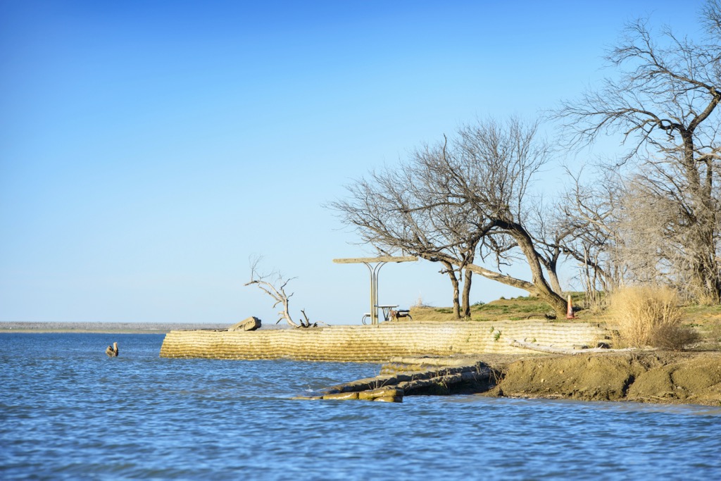
Dallas County is part of the larger Dallas-Fort Worth-Arlington metropolitan area, commonly known as the DFW Metroplex. The county is enormous; its boundaries form a square of about 30 miles (50 km) on each side for a total area of 909 sq. miles.
It’s not even fair to say Dallas County is as flat as a pancake, as the saying goes; at least pancakes have little undulations on their surface.
The closest thing to a hill in Dallas County would be the area east of Joe Pool Lake, most of which is preserved. Cedar Hill State Park is the largest protected area. There’s also Cedar Ridge Preserve, Estes Park, and Loyd Park. Cedar Bluff, the highest “hill” in Dallas, is just across the road from the State Park Headquarters.
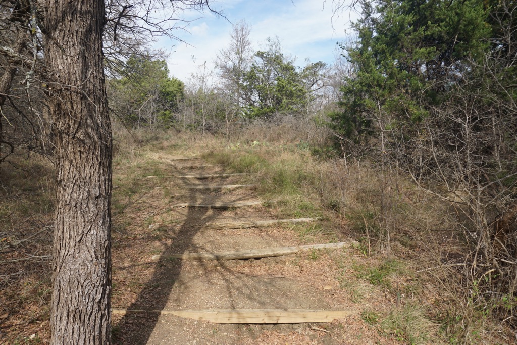
Even when we broaden our search to “mountains near Dallas County,” we come up short. Nevertheless, there is a bright side. If you’re willing to drive for about five hours, you’ll be rewarded with two great destinations that are, in my opinion, totally underrated: The Ozarks and the Texas Hill Country. With nine hours of driving, you can visit one of America’s greatest national parks: Big Bend.
The Ozarks are rolling mountains that occupy parts of Missouri, Arkansas, Oklahoma, and Kansas. The Ozarks are home to the Ozark National Forest, Buffalo National River, and numerous other state parks, with the local ecology ranging from hardwood forests to prairies.
There’s plenty of hiking, biking, canoeing, kayaking, hunting—and pretty much anything else you can do outside. There are also some incredible caves, the result of millions of years of erosion on the underlying limestone layer.
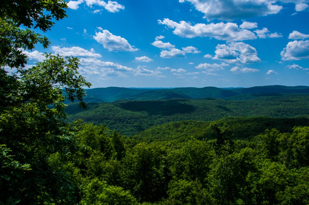
The Texas Hill Country stretches from Austin to San Antonio and beyond to the west. Spring brings an iconic Texas sight: fields blanketed in bluebonnets and other wildflowers. Autumn brings excellent foliage. The region's geology features dramatic caverns, scenic overlooks like Enchanted Rock, and vibrant blue-green swimming holes like Hamilton Pool and Jacob’s Well.
The Hill Country is also home to quaint towns like Fredericksburg, known for its wineries and historic sites, and Gruene, famous for its dance hall and live music.
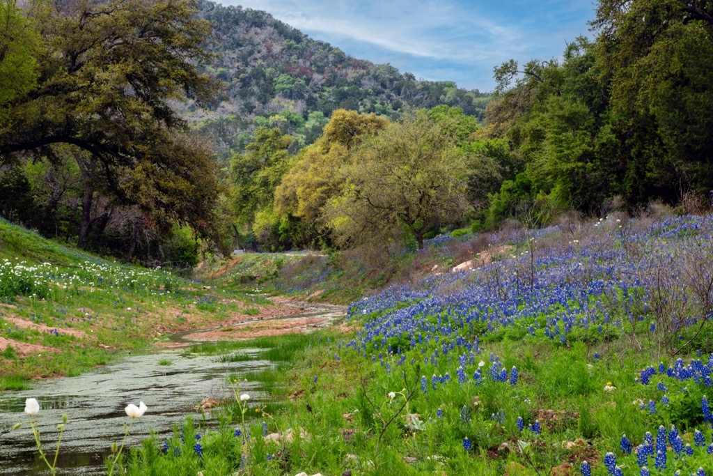
Big Bend is often touted as one of the best, and certainly most underrated, national parks in the U.S. It’s named for a large curve in the Rio Grande River, which forms a natural border between Texas and Mexico. The park encompasses the Chisos Mountains, the only mountain range entirely within a national park. The landscape is an otherworldly collection of canyons, desert vistas, rugged mountains, and stunning verdant river valleys. Big Bend’s remoteness and dark skies also make it a top destination for stargazing.
Don’t worry about running into other people; there aren’t too many of them here. It’s well off the beaten path, but if you find yourself longing for nature’s beauty while commuting to your desk job in Dallas, you’ll definitely find it in Big Bend.

People go to Utah to peer at the canyons and towers. It’s geological tourism. But Dallas County is also geologically fascinating; the first time I flew into DFW, I couldn’t believe just how flat everything was.
The story of why Dallas is so flat is rooted as much in geology as the formation of the Himalayas. So, let’s dive in.
The flat terrain of Dallas was shaped over millions of years by ancient seas and sediment deposition. Dallas is part of the larger Blackland Prairie, a region of dark, nutrient-rich clay soils and flat landscape. Millions of years ago, during the Cretaceous period, much of what is now North Texas, including Dallas, was submerged under a shallow inland sea known as the Western Interior Seaway. Over time, sediments—primarily mud, sand, and biomass from marine organisms—accumulated on the sea floor.
The key to Dallas’ flatness lies in the nature of these sedimentary rock layers. No faultlines are nearby; therefore, the area has never been subject to plate tectonics or volcanic activity, the two main components of mountain building. The slight variations in elevation, from about 400 to 700 feet (120 to 210 meters), result from subtle changes in the hardness of the underlying rock layers and differential erosion. We can thank these subtle differences for the little hills we do have, like Ceder Hill in the county’s southwest.
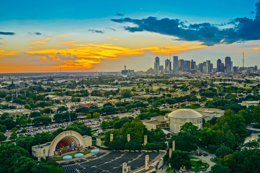
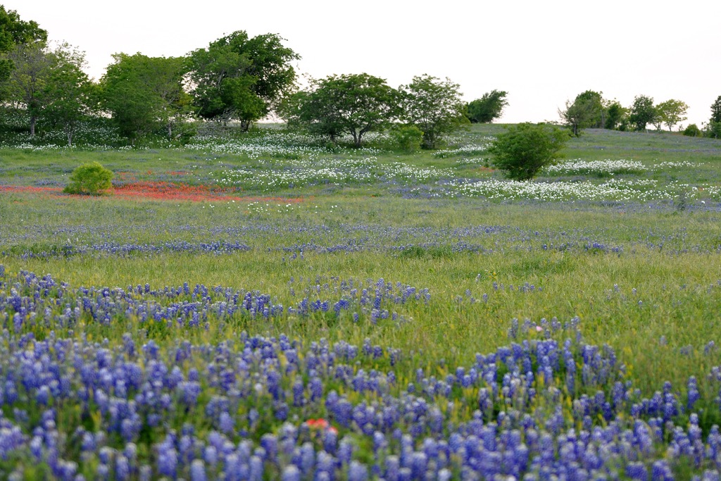
Historically, Dallas County was dominated by vast expanses of tallgrass prairie dotted with wildflowers and oak savannas. It was part of the once-vast prairie ecosystems that stretched across central Texas and the entire central U.S., for that matter. These prairies were home to bison, deer, and numerous bird species. However, in Dallas, the original prairie landscape has been replaced by urban development; Dallas County is one of the most densely populated areas in Texas, which in turn is one of the most populous states in the U.S. Despite this, pockets of natural habitat still exist.
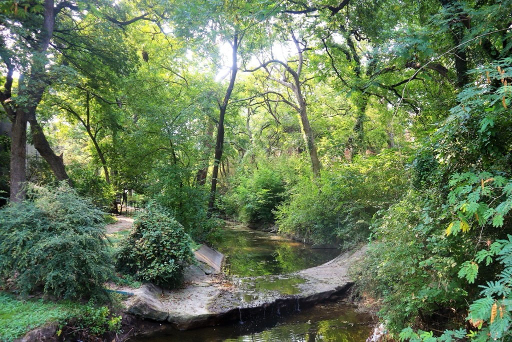
The Trinity River, which meanders through Dallas County, supports riparian habitats along the riverbanks with cottonwoods, willows, and pecan trees. These areas are critical for birds, such as great blue herons, egrets, and migrating species that use the river corridor as a flyway. Aquatic habitats within the Trinity River and nearby wetlands are home to fish, turtles, and frogs.
Cedar Ridge Preserve and White Rock Lake Park support native species like coyotes, bobcats, foxes, and numerous bird species, including red-tailed hawks and owls. Of course, urban wildlife, such as squirrels, raccoons, and opossums, have adapted to the landscape and now vastly outnumber their natural counterparts.
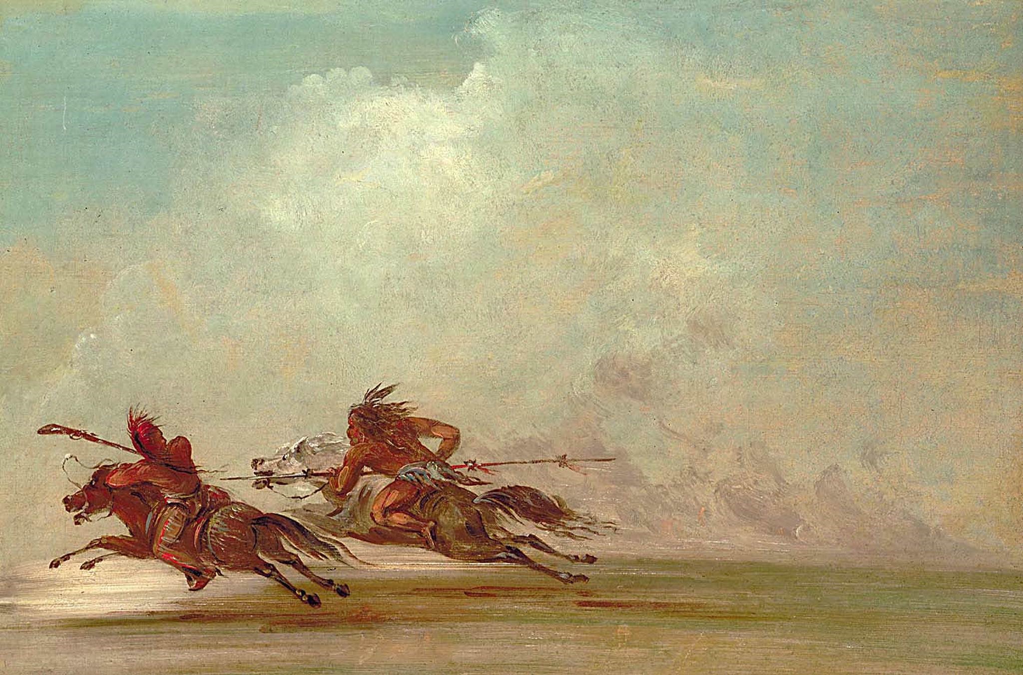
Dallas County's complex human history spans thousands of years before the U.S. government, from indigenous cultures to European exploration, frontier settlements, and modern conservation.
Native Americans, like the Caddo and later Comanche peoples, inhabited the region for thousands of years.
The land became a point of interest for European settlers in the 19th century. The Trinity River and fertile soils had “commerce” and “money” written all over them. Dallas was founded in 1841 and named after George Mifflin Dallas, Vice President of the United States, or his brother, Commodore Alexander James Dallas—historical records remain unclear on the exact inspiration.
The arrival of the railroads in the late 19th century transformed Dallas into a commercial powerhouse. The Texas and Pacific Railway reached Dallas in 1873, and Dallas soon became an early center for manufacturing and finance. Dallas has always had a black mark for being the location of President John F. Kennedy’s assassination in 1963, one of America’s most profound tragedies.
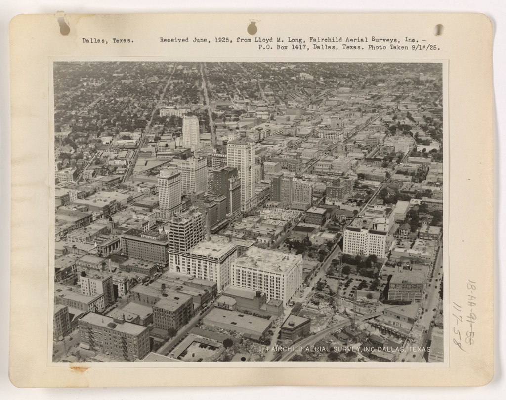
The discovery of oil, or “Texas Tea,” so to speak, is what has propelled Dallas in modern times. It’s the headquarters of the U.S. oil industry, the world’s largest producer of crude. Like other big cities in the U.S., it’s also a hub for finance and technology.
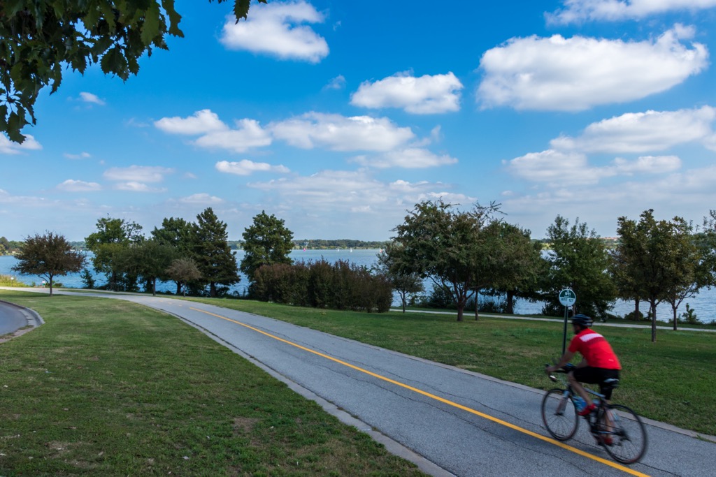
There may not be mountains, but there’s no excuse not to spend time outside here. Dallas County is filled with reservoirs, most of which have loop trails around their periphery. Most of these trails are paved; you can get out and do scores of miles on a road bike or on foot. Meanwhile, the trails around Cedar Ridge are natural; you’ll even find mountain bikers here.
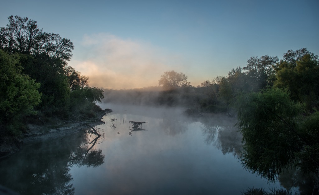
One thing to bear in mind is the temperatures. One advantage of Dallas is the perfectly mild temperatures for the winter half of the year. While the rest of the U.S. huddles under their blankets, temperatures are perfect for a walkabout here. However, the flip side is the scorching summers, where it’s difficult to even walk outside during the day. It’s essential to take precautions, i.e., bringing extra water and only hiking in the morning and evening.
The White Rock Lake Trail is a 9.4-mile (15 km) loop trail around the White Rock Lake reservoir northeast of downtown Dallas. It’s the city’s most popular trail, with the entirety being paved. You can rip laps on a road bike or calmly stroll in the evening breeze. It’s 15 minutes to the lake from downtown Dallas.
The Cedar Ridge Preserve offers a chance for some forest bathing in one of the few natural areas in Dallas County. The adjacent Cedar Hill State Park and the Joe Pool Lake round out nature’s corner of the city. It’s 20 minutes from downtown Dallas, though that distance can change drastically depending on your perch within the greater Dallas area.
The Preserve is one of the most popular hiking destinations in the county. With over nine miles of trails, it offers scenic lake overlooks and pleasant forests. The preserve is managed by Audubon Dallas and is a haven for birdwatchers. You may also get the occasional armadillo sighting.
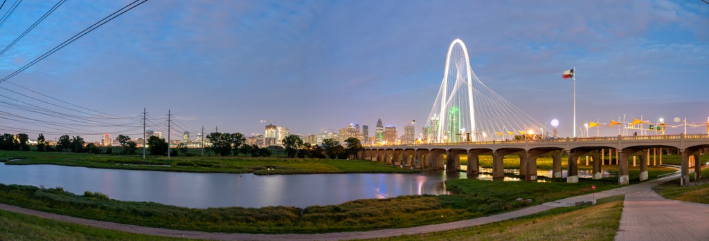
The Trinity Levee Trail is a paved route along the Trinity River right near downtown Dallas. It’s the best option around downtown, and you can loop it on both sides of the river for about 14 miles (22 km). However, bear in mind that there is no shade, and it gets boiling hot down here.
Oak Cliff Nature Preserve is a bastion of forest in the urban sprawl of Dallas. It’s only 12 minutes from downtown Dallas, and you won’t find better shade on a hot day. That said, this park is very popular with mountain bikers, and though it’s technically a mixed-use area, it can be intimidating to be on foot. The place is also a maze of interconnecting trails, and it’s easy to get lost and end up on the wrong side of the park.
Dallas, Texas, is a sprawling metropolis known for its towering skyline and iconic cowboy culture. Dallas has grown from a modest trading post in the mid-1800s into one of the largest cities in the U.S. The city may not have mountains, but Dallas has a trifecta in the way of American sports, with the Cowboys (football), Rangers (baseball), and the Mavericks (basketball). They also have a somewhat more affordable reputation than most cities of this size in the U.S., especially considering the availability of well-paying jobs.
The Dallas Arboretum and Botanical Garden is a 66-acre oasis along White Rock Lake, known for its beautifully designed gardens and seasonal floral displays. The Arboretum showcases a rich variety of native and exotic plant species. Highlights include the Color Garden, the tranquil Japanese Maple Garden, and the Rory Meyers Children's Adventure Garden. The familiar scent of barbecue smoke reminds us that we cannot leave until we sample a bit of that famous Texas BBQ.
On the flip side, Dallas is a sprawling, car-centric ecological desert. Little remains of the original Blackland Prairie and its creatures. In the end, Dallas is probably not the place for outdoors enthusiasts to relocate to…but those who are here can make the most of it.

Explore Dallas County with the PeakVisor 3D Map and identify its summits.


