Get PeakVisor App
Sign In
Search by GPS coordinates
- Latitude
- ° ' ''
- Longitude
- ° ' ''
- Units of Length

Yes
Cancel
❤ Wishlist ×
Choose
Delete
Bexar County is located smack dab in the middle of south-central Texas and is the home of San Antonio, the 7th most populous city in the U.S. The county itself is not particularly mountainous, but it’s nestled on the edge of Texas Hill Country, and parks like Government Canyon and Natural Bridge Caverns offer a quick getaway into nature. In fact, there are no less than 64 named mountains in Bexar County; Mount Smith (1,896 ft / 578 m) is the highest, while the most prominent is Black Hill (1,588 ft / 484 m). Big Bend National Park, often considered one of America’s best NPs, is a few hours down the road for those looking slightly further afield.
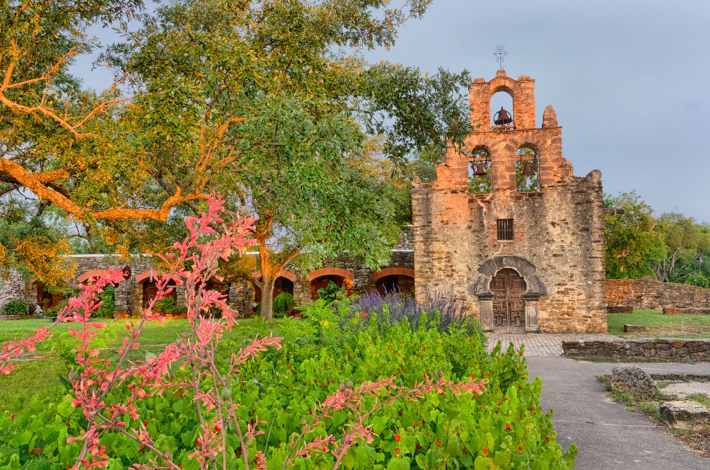
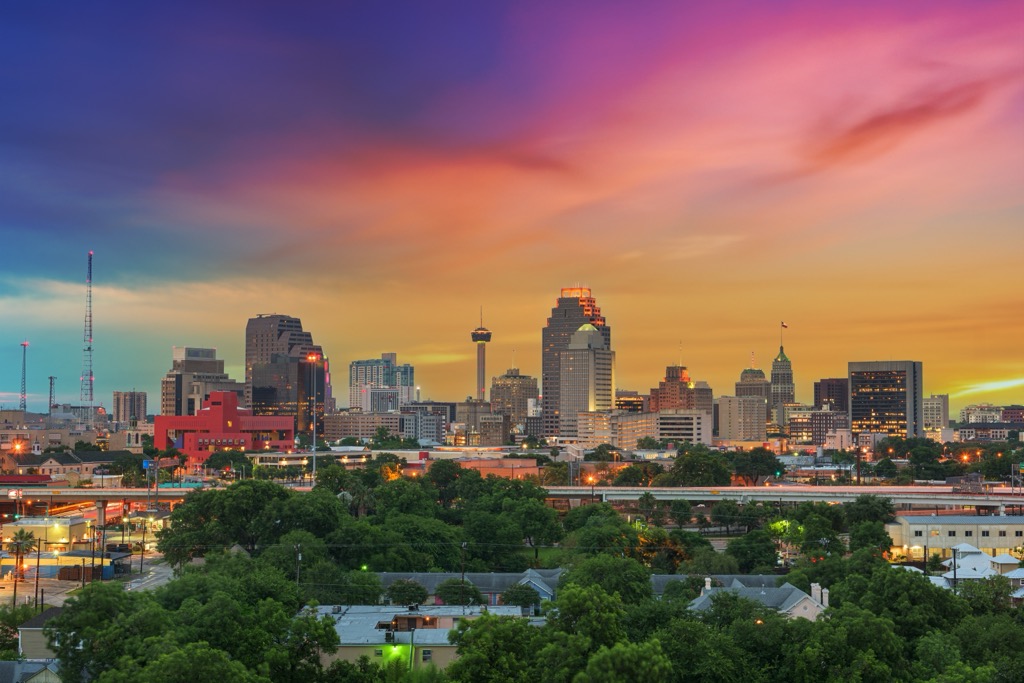
Bexar County is better known by most of us as San Antonio. It’s one of the largest cities in the U.S., with a population of about 1.6 million. Austin is an hour and a half north, Houston is three hours east, and Corpus Christi is 2 hours southeast, all connected by major highways. But here at PeakVisor, we specialize in informing you about mountains and other special natural places. So, let’s dive in.
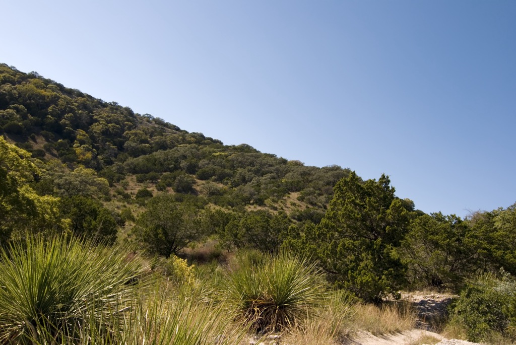
Bexar County is located in south-central Texas, at the convergence of the Texas Hill Country, the Blackland Prairie, and the South Texas Plains.
The Texas Hill Country, located to the north and northwest of the county, is where we’ll find most of our outdoor escapes in Bexar County, like Government Canyon and Bracken Hill Country Nature Preserve. Just outside that northern Bexar County line, we’ve got large cave systems like Cascade Caverns and Natural Bridge Caverns, as well as nature preserves like Cibolo Bluffs along Cibolo Creek.
The United States Military also loves that Texas Hill Country. The military operates several San Antonio bases, collectively known as Joint Base San Antonio (JBSA), with over 70,000 service members. Heading directly north out of the city, the “Crown Jewel” of JBSA, Camp Bullis, occupies 28,000 acres set back in the hills.
The southern and eastern parts of Bexar County are part of the historical Blackland Prairie and South Texas Plains, characterized by relatively flat, fertile lands. These areas are well-suited for agriculture and are used almost exclusively for farming and ranching rather than outdoor recreation. The country roads are refreshing compared to the urban metropolis of San Antonio, but there isn’t much in the way of public green space. The artificial Calaveras Lake is a peaceful spot for boating and fishing, though the nearby power plant gives it an industrial feel. The Crescent Bend Nature Park offers a chance to explore Cibolo Creek, which demarcates the Bexar County line. There’s more green space along the rest of Cibolo Creek, though most is private property.
Bexar County may not be home to snow-capped peaks, but it’s geologically more interesting than most places.
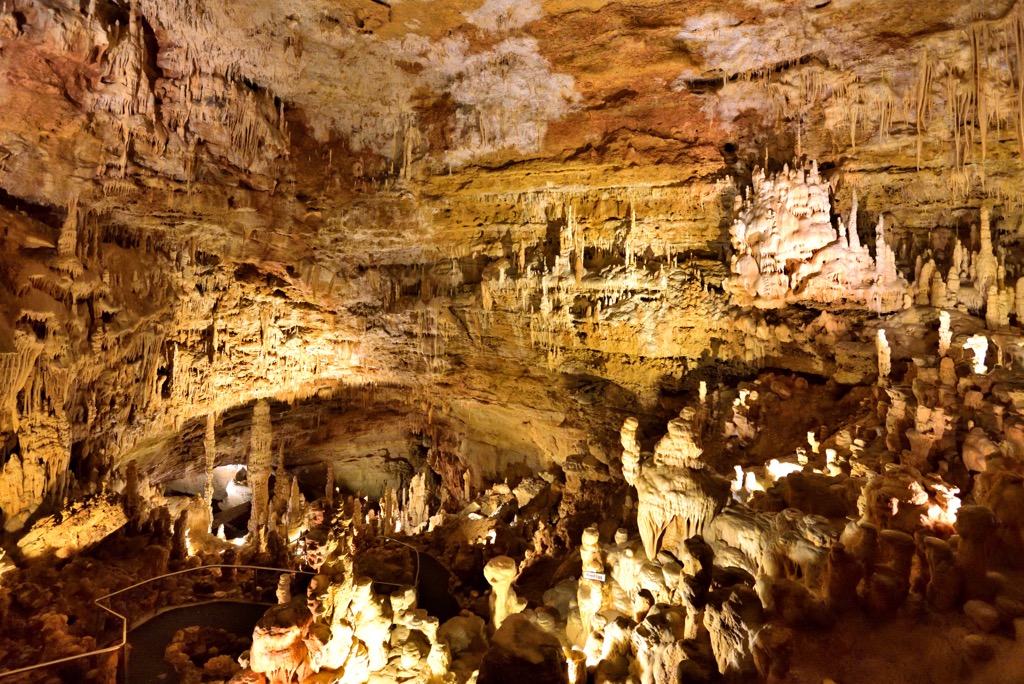
That’s because the Texas Hill Country is predominantly limestone, formed during the Cretaceous period when much of this region was submerged beneath a shallow sea. Limestone is soft and porous, and acidic water dissolves the rock over millions of years, a phenomenon known as karst. Texas Hill Country’s limestone foundation is responsible for the region’s karst topography, like the vast networks of caves north of Bexar County.
The Edwards Aquifer, a critical water source for San Antonio and the surrounding agricultural areas, flows through this porous limestone.
Northwest of Bexar County, the terrain begins to rise, and the Guadalupe Mountains start to emerge further west, although these are a long drive from San Antonio. Closer are high points like Enchanted Rock and the Balcones Escarpment, the latter of which marks the northern edge of the Hill Country near Austin.
Living in San Antonio, it’s easy to get cynical and group the region ecology into groups like “Urbia,” “Sub-Urbia,” “Soybean Fields,” and “Cows.” It’s true that the majority of Bexar County serves the needs of humans rather than complex ecological systems. But we can still find nature, even within county lines!
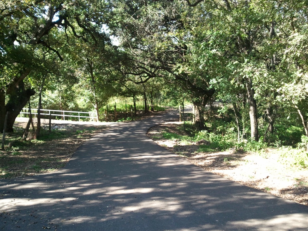
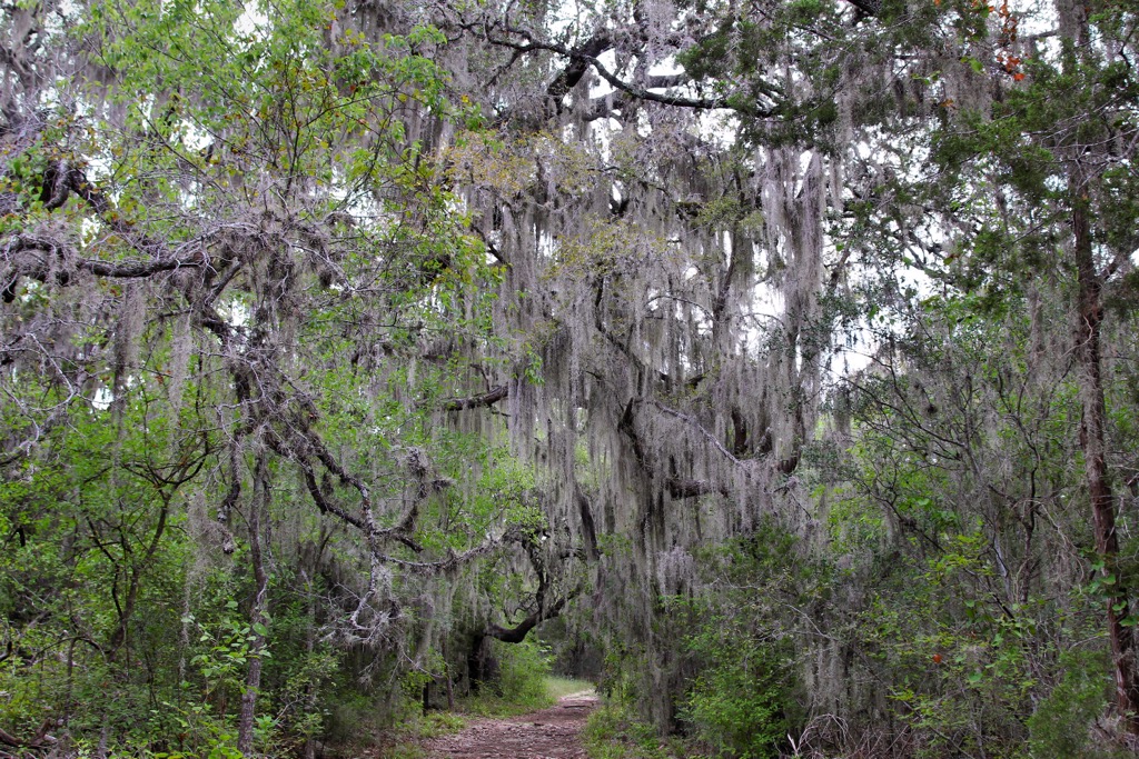
The northern portion (hill country) is characterized by oak-juniper woodlands that provide essential habitats for numerous bird species like the endangered golden-cheeked warbler. Shallow soils and mixed woodlands foster a diverse understory of shrubs, wildflowers, and grasses, habitat that is attractive to white-tailed deer, wild turkeys, and armadillos. Bobcats have been repopulating over the last few decades, and the canyons likely host an occasional passing mountain lion, though these are seldom seen.
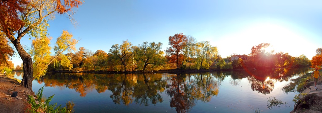
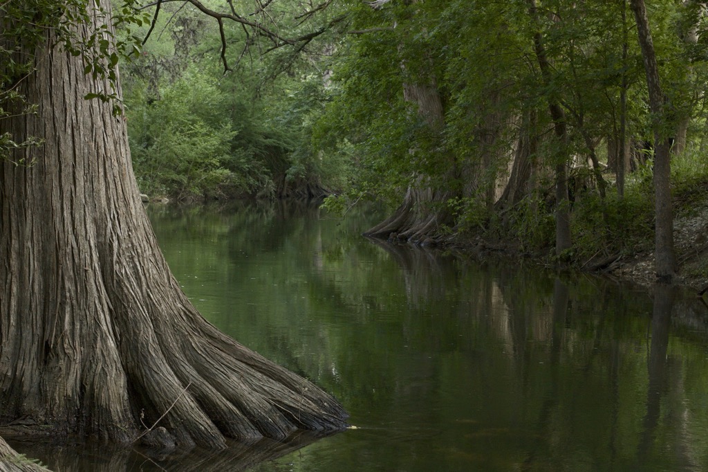
Riparian zones along the San Antonio and Medina Rivers and the Salado and Cibolo Creeks provide a unique biodiversity corridor amidst the otherwise dry landscape. Vegetation includes cottonwood, sycamore, and pecan trees. These riparian zones are home to San Antonio’s urban hikes, the River Walk and Salado Creek Greenway, which are among the best in North America.
Caves offer microhabitats for some of the county’s most unique species. Cave-dwellers include bats and blind salamanders.
The southern and eastern parts of Bexar County transition into the Blackland Prairie and South Texas Plains, where grasslands and scrublands once dominated the landscape. These ecosystems were once home to bluestem and gama grass and a mix of drought-tolerant shrubs like mesquite and acacia. Unfortunately, prairie lands are also ideal for agriculture and are one of the most degraded ecosystems in the U.S. The vast majority of our original prairie lands, such as in Bexar County, no longer exist. You can see remains of the Blackland Prairie ecoregion, mainly the northern parts in places like Caddo National Grasslands and Clymer Meadow Preserve.
Bexar County's complex human history spans thousands of years before the U.S. government, from indigenous cultures to European exploration, frontier settlements, and modern conservation.
Early native tribes include the Payaya people. Located in the valley at the foot of the hill country and along the Texas Plains, the area was exceptionally fertile. The San Antonio River is the largest of several regional rivers, which made it a hotspot for Native American tribes.
In 1718, Spanish missionaries established the Mission San Antonio de Valero, better known today as the Alamo, along with several other missions to spread Christianity and Spanish culture to the indigenous populations.
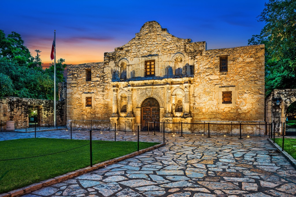
San Antonio's role in the Texas Revolution is well-known to most folks versed in American history. You learn about this in elementary school. In the early 19th century, tensions grew between the Texan settlers (Texians) and the Mexican government. The most famous event was the 1836 Battle of the Alamo, where a small group of Texan defenders made a final stand against the Mexican army. Though the battle resulted in a Mexican victory, the rallying cry "Remember the Alamo!" became an icon of Texan resilience. Texas eventually became independent later that year.

Since the Civil War, San Antonio benefitted from a strong Texas economy and plenty of space to grow. Military installations have also boosted the economy. The result of all this development is that, like Dallas and Houston, San Antonio is a sprawling city and an ecological desert. Fortunately, they have invested in urban greenways like the River Walk.
Bexar County isn’t known for being either a mountainous or hike-able destination. In fact, the city has some of the best urban hiking on the continent. Where else can you put in 30 miles (50 km) of nature walking in the middle of a city?
One thing to keep in mind is the temperatures. One advantage of old San Antone is the perfectly mild temperatures for the winter half of the year. While the rest of the U.S. huddles under their blankets, temperatures are perfect for a walkabout here. However, the flip side is the scorching summers, where it’s difficult to even walk outside during the day. It’s essential to take precautions, i.e., bringing extra water and only hiking in the morning and evening.
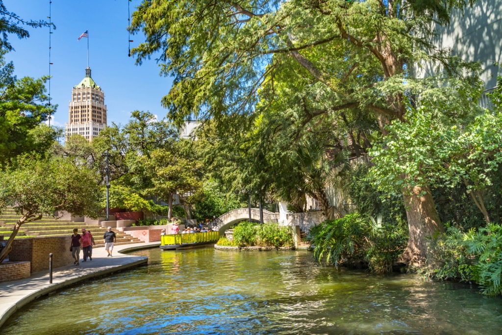
The San Antonio River Walk is one of Texas’ top urban attractions. The paved route follows the river for 15 miles (25 km) from downtown to the five historic missions in the south. Within the downtown section, shops and restaurants line the path, whereas it becomes parkland as you reach Conception Park.
The River Walk is impeccably maintained along the entirety of its course. The route is open to cyclists.
Further east, the Salado Creek Greenway starts at Jack White Park and continues south to Southside Lions Park along another 15-mile (25 km) paved walkway. It’s also open to cyclists and is likely less crowded than the River Walk, or at least the downtown section of the River Walk.
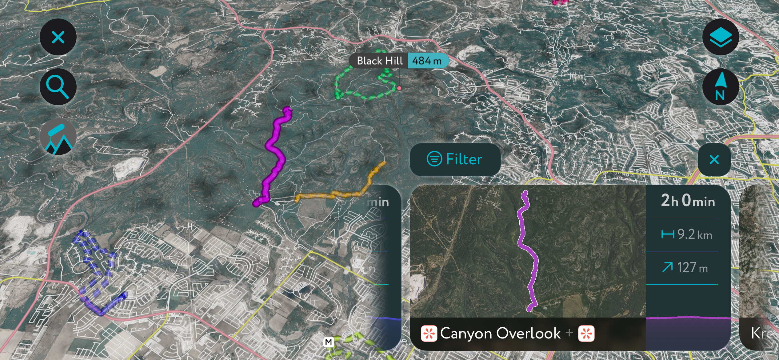
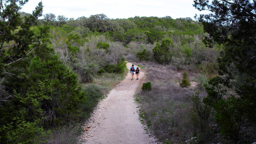
Government Canyon is the best place in Bexar County to get out for a day-long hike in a natural setting. It’s about 30 minutes from downtown San Antonio; most people park at the south entrance, off from Galm Rd. There are several parking lots and public bathrooms here.
Dozens of miles of trails bisect the park, so you can choose your adventure without much difficulty. The Canyon Overlook, or Joe Johnston Route, is one of the most popular. It’s about 10 km (6 miles) out-and-back. Chula Vista offers excellent views of San Antonio and is only about a 7 km out-and-back. Black Hill is a loop trail along the park’s northern section that reaches the county’s most prominent summit. You could easily link any of the trails for a full-day outing. There are also dinosaur tracks in some of the canyons.
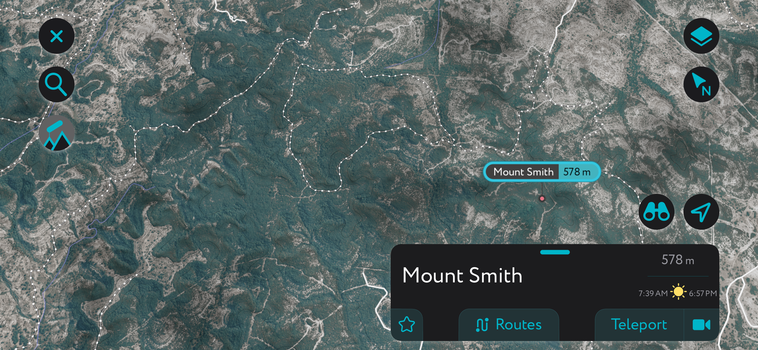
Mount Smith (1,896 ft / 578 m) is the tallest peak in Bexar County, though it’s not much more than a dimple in the surrounding landscape. However, the mountain is surrounded by a network of trails, and there are sure to be far fewer people here than in the other areas in this guide.
There are no trails to the summit, but Peakbagger.com shows three summit logs, the last of which was in 2016. You’ll have to bushwack a bit, but it’s possible.
San Antonio is one of the largest cities in the U.S., but Houston, Austin, and Dallas often overshadow it in the national arena. Before you bail to hang out with your tech buddies in Austin or oil cronies in Dallas, let’s do a little unpacking of San Antonio, the birthplace of the Lone Star State.
In addition to the tremendous urban walking routes, San Antonio has a lot to offer. The five historic missions at the southern terminus of the River Walk include the famous Alamo, where the battle for Texas took place.
Check out the San Antonio Spurs, where you can see 20-year-old Victor Wembanyama, the NBA’s most exciting next-generation player (although Luka Doncic of the Dallas Mavs is also a draw, I must say).
For a large part of its history, San Antonio was part of Spain and Mexico, and Mexican food remains a vital part of the culture. The Natural Bridge and Cascade Caverns are also an experience for those willing to drive an hour.
San Antonio continues to grow, thanks to its commerce and aerospace industries, as well as many military installations within the JBSA. The city is well connected by road and train and has an international airport with connections throughout North America.
Explore Bexar County with the PeakVisor 3D Map and identify its summits.


