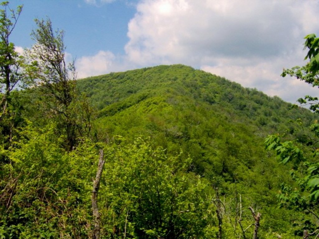
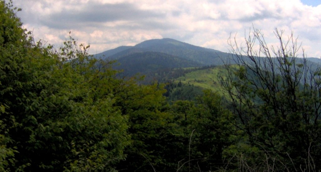
Silers Bald is a mountain in the western Great Smoky Mountains, located in the Southeastern United States. Its proximity to Clingmans Dome and its location along the Appalachian Trail make it a popular hiking destination.
Silers Bald is located on the crest of the Smokies with Thunderhead Mountain to the west and Clingmans Dome to the east. The Tennessee-North Carolina state line crosses the summit, with the mountain split evenly between Sevier County, Tennessee to the north and Swain County, North Carolina to the south. Silers Bald rises appx. 2,500 feet (760 m) above its northern base near Fish Camp Prong (of Little River), and appx. 3,000 feet (910 m) above its southern base near Forney Creek.
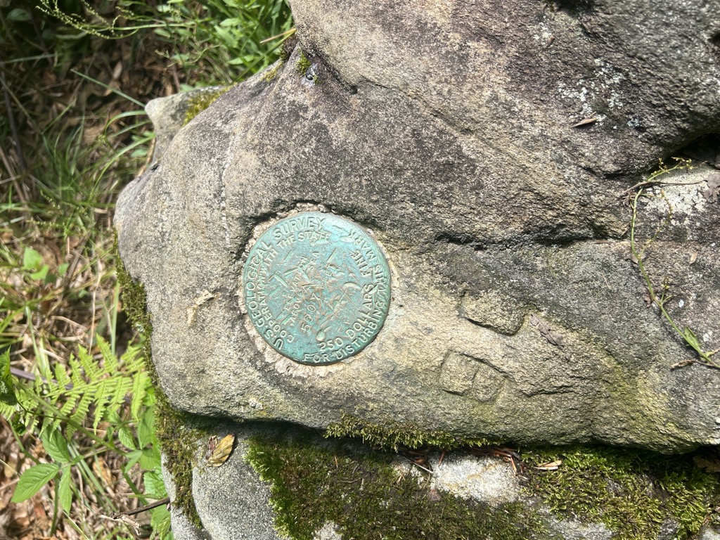
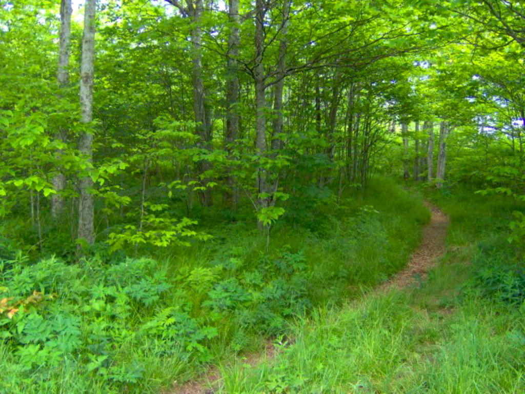
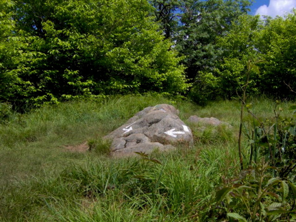
While Silers Bald was a grassy bald for most of the 19th and early-20th centuries, it was probably a wooded peak before the arrival of European settlers. For this reason, the park service does not maintain the bald atop the mountain (the Great Smoky Mountains National Park currently maintains only two grassy balds— Gregory Bald and Andrews Bald). A narrow corridor for the Appalachian Trail, which crosses the summit, is kept clear for thru-hikers. There is still a small bald area at the summit, approximately 30 feet (9.1 m) in diameter, where the Appalachian Trail makes a 90-degree turn. Several grassy meadows remain on the mountain's western slope.
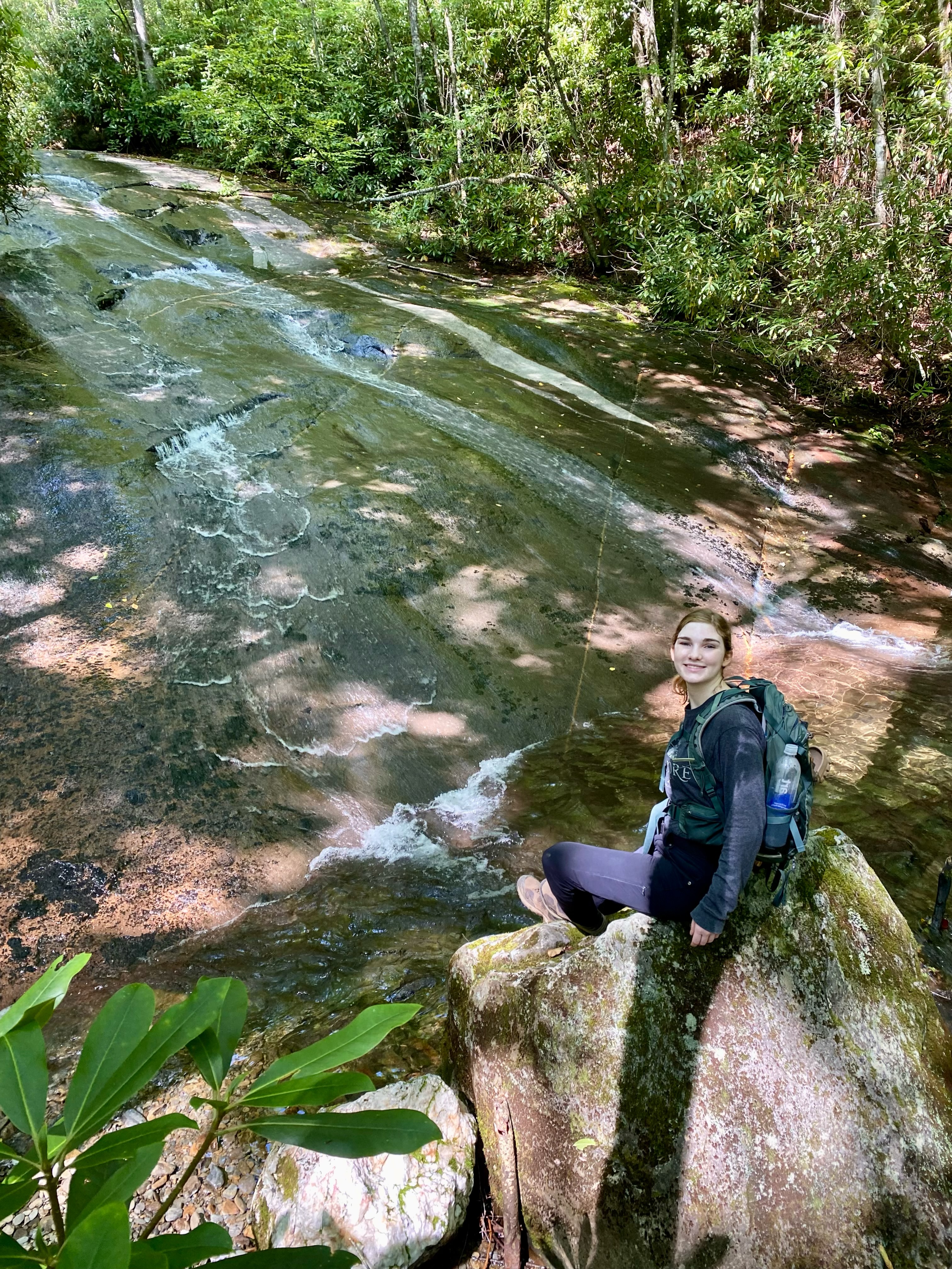
There's a trail called Appalachian Trail leading to the summit. Silers Bald is one of the 311 peaks along the multi-day Appalachian Trail.
By elevation Silers Bald is
# 39 out of 3221 in Tennessee # 31 out of 171 in Sevier County # 55 out of 345 in Great Smoky Mountains National Park # 35 out of 239 in Swain County # 56 out of 497 in the Great Smoky Mountains
By prominence Silers Bald is
# 46 out of 171 in Sevier County # 80 out of 345 in Great Smoky Mountains National Park # 73 out of 239 in Swain County
We use GPS information embedded into the photo when it is available.
3D mountains overlay
Adjust mountain panorama to perfectly match your photos because recorded by camera photo position might be imprecise.
Move tool
Rotate tool
Zoom
More customization
Choose which peak labels should make into the final photo and what photo title should be.
Next
Photo Location
Satellitte
Flat map
Relief map
Latitude
Longitude
Altitude
OR
Latitude
°'''
Longitude
°'''
Apply
Register Peak
Peak Name
Latitude
Longitude
Altitude
Register
Teleport
PeakVisor
This 3D model of Sagarmatha National Park in Nepal was made using the PeakVisor app topographic data. The mobile app features higher precision models worldwide, more topographic details, and works offline. Download PeakVisor maps today.
Download OBJ model
PeakVisor
The download should start shortly. If you find it useful please consider supporting the PeakVisor app.
PeakVisor for iOS and Android
Be a superhero of outdoor navigation with state-of-the-art 3D maps and mountain identification in the palm of your hand!