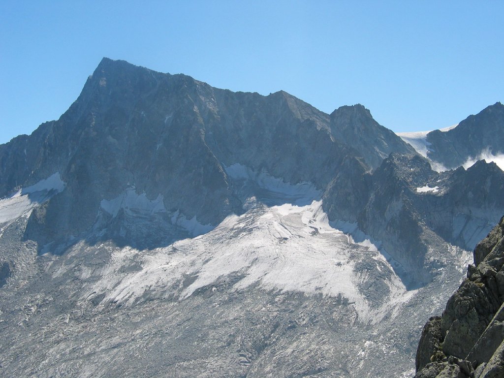
Adamello (in Lombard Adamèl) is a mountain in Lombardy, Italy. With an elevation of 3,539 metres (11,611 ft), it is the second highest peak of the Adamello-Presanella Alps. It is located in Valcamonica, Lombardy (Province of Brescia).
Douglas Freshfield gives this description from the summit of the Presanella, which he ascended for the first time (September 17, 1864):
The central mass of Adamello ... is a huge block, large enough to supply materials for half-a-dozen fine mountains. But it is in fact only one. For a length and breadth of many miles the ground never falls below 9,500 feet. The vast central snow-field feeds glaciers pouring to every point in the compass. The highest peaks, such as Carè Alto and Adamello, are merely slight elevations of the rim of this uplifted plain. Seen from within they are mere hummocks; from without they are very noble mountains falling in great precipices towards the wild glacier-closed glens which run up to their feet.
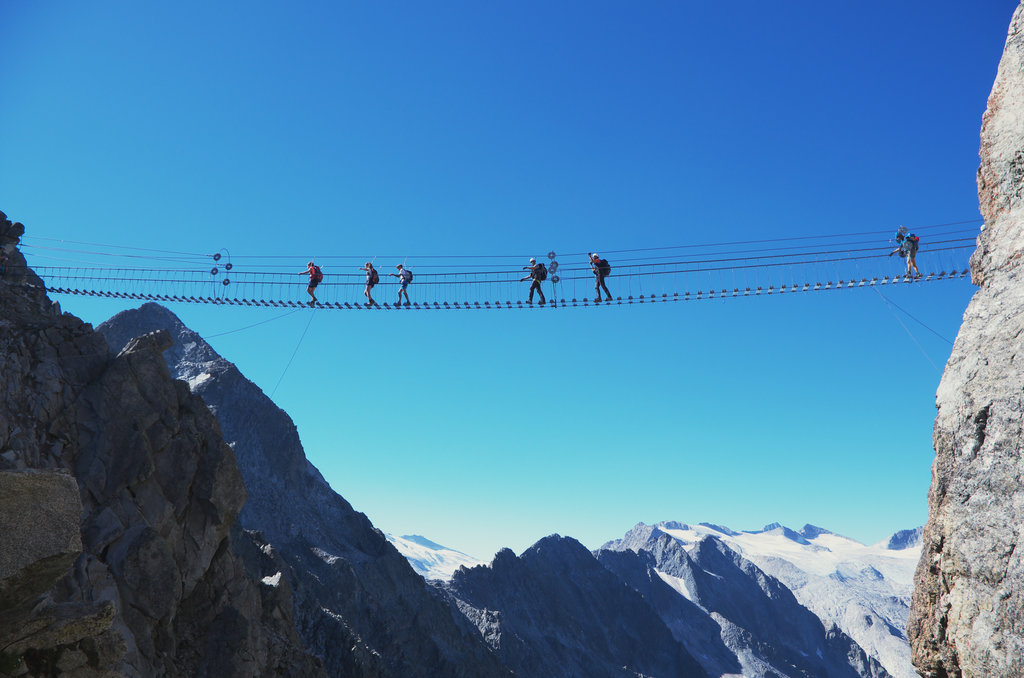
There's a demanding alpine trail (T5) leading to the summit.
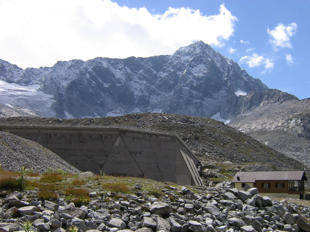
The nearest mountain hut is Bivacco Ugolino Ugolini located 829m/2 720ft SW of the summit.
By elevation Monte Adamello is
# 24 out of 1160 in the Southern Rhaetian Alps # 2 out of 541 in the Adamello-Presanella Alps # 39 out of 3401 in Lombardy # 1 out of 1118 in Brescia # 1 out of 240 in Parco Regionale dell'Adamello
By prominence Monte Adamello is
# 7 out of 1160 in the Southern Rhaetian Alps # 2 out of 541 in the Adamello-Presanella Alps # 32 out of 3401 in Lombardy # 3 out of 1118 in Brescia # 1 out of 240 in Parco Regionale dell'Adamello
We use GPS information embedded into the photo when it is available.
3D mountains overlay
Adjust mountain panorama to perfectly match your photos because recorded by camera photo position might be imprecise.
Move tool
Rotate tool
Zoom
More customization
Choose which peak labels should make into the final photo and what photo title should be.
Next
Photo Location
Satellitte
Flat map
Relief map
Latitude
Longitude
Altitude
OR
Latitude
°'''
Longitude
°'''
Apply
Register Peak
Peak Name
Latitude
Longitude
Altitude
Register
Teleport
PeakVisor
This 3D model of Sagarmatha National Park in Nepal was made using the PeakVisor app topographic data. The mobile app features higher precision models worldwide, more topographic details, and works offline. Download PeakVisor maps today.
Download OBJ model
PeakVisor
The download should start shortly. If you find it useful please consider supporting the PeakVisor app.
PeakVisor for iOS and Android
Be a superhero of outdoor navigation with state-of-the-art 3D maps and mountain identification in the palm of your hand!