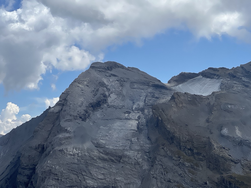
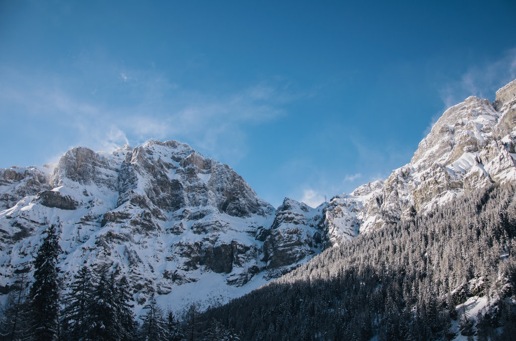
Located above the town of Leukerbad, the Daubenhorn is a mountain in the Bernese Alps known for having the longest Via Ferrata in Switzerland built into its Southeast rock face which allows access to the summit.
This via ferrata is considered to be extremely difficult (ED) and requires very good fitness to make the 6 hour climb to the summit from the base of the Via Ferrata at 2350 m. In addition, it is also possible to reach the summit by trekking a circuitous route starting from Gemmi Pass.
There's a demading hiking trail (T3) leading to the summit.
The nearest mountain hut is null located 1 385m/4 542ft WNW of the summit.
By elevation Daubenhorn is
# 70 out of 143 in Leuk # 38 out of 96 in Pfyn-Finges Nature Park
By prominence Daubenhorn is
# 45 out of 143 in Leuk # 34 out of 96 in Pfyn-Finges Nature Park
We use GPS information embedded into the photo when it is available.
3D mountains overlay
Adjust mountain panorama to perfectly match your photos because recorded by camera photo position might be imprecise.
Move tool
Rotate tool
Zoom
More customization
Choose which peak labels should make into the final photo and what photo title should be.
Next
Photo Location
Satellitte
Flat map
Relief map
Latitude
Longitude
Altitude
OR
Latitude
°'''
Longitude
°'''
Apply
Register Peak
Peak Name
Latitude
Longitude
Altitude
Register
Teleport
PeakVisor
This 3D model of Sagarmatha National Park in Nepal was made using the PeakVisor app topographic data. The mobile app features higher precision models worldwide, more topographic details, and works offline. Download PeakVisor maps today.
Download OBJ model
PeakVisor
The download should start shortly. If you find it useful please consider supporting the PeakVisor app.
PeakVisor for iOS and Android
Be a superhero of outdoor navigation with state-of-the-art 3D maps and mountain identification in the palm of your hand!