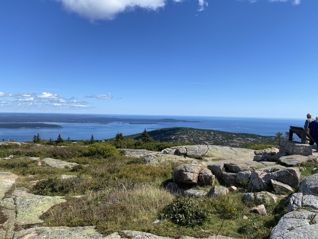
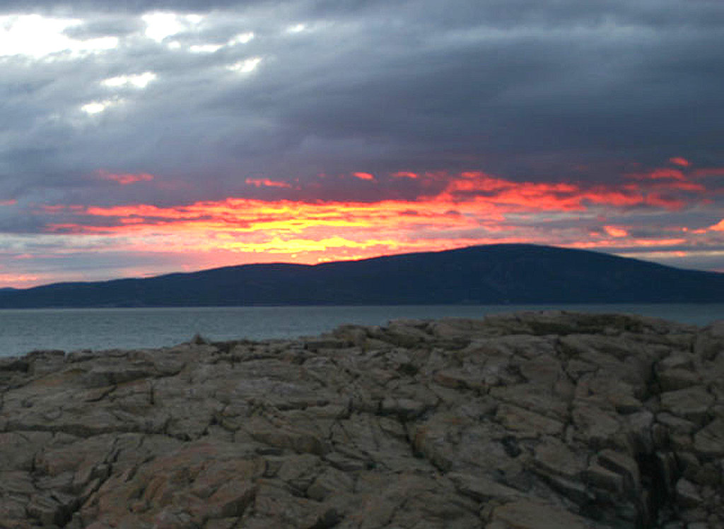
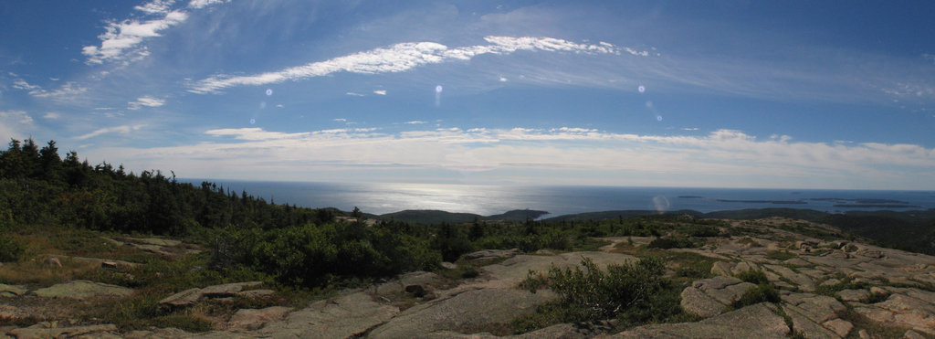
Cadillac Mountain is located on Mount Desert Island, within Acadia National Park. With an elevation of 1,530 feet (466 meters), its summit is the highest point in Hancock County and the highest within 25 miles (40 km) of the shoreline of the North American continent between the Cape Breton Highlands, Nova Scotia and Mexican peaks 180 miles (290 km) south of the Texas border.
There's a trail called Cadillac Summit Loop leading to the summit.
By elevation Cadillac Mountain is
# 1 out of 72 in Acadia National Park # 1 out of 301 in Hancock County
By prominence Cadillac Mountain is
# 1 out of 72 in Acadia National Park # 1 out of 301 in Hancock County # 32 out of 2903 in Maine # 16 out of 5872 in the New England Upland
We use GPS information embedded into the photo when it is available.
3D mountains overlay
Adjust mountain panorama to perfectly match your photos because recorded by camera photo position might be imprecise.
Move tool
Rotate tool
Zoom
More customization
Choose which peak labels should make into the final photo and what photo title should be.
Next
Photo Location
Satellitte
Flat map
Relief map
Latitude
Longitude
Altitude
OR
Latitude
°'''
Longitude
°'''
Apply
Register Peak
Peak Name
Latitude
Longitude
Altitude
Register
Teleport
PeakVisor
This 3D model of Sagarmatha National Park in Nepal was made using the PeakVisor app topographic data. The mobile app features higher precision models worldwide, more topographic details, and works offline. Download PeakVisor maps today.
Download OBJ model
PeakVisor
The download should start shortly. If you find it useful please consider supporting the PeakVisor app.
PeakVisor for iOS and Android
Be a superhero of outdoor navigation with state-of-the-art 3D maps and mountain identification in the palm of your hand!