 Karma: 14
Check-in
First to check-in POI +10
Regular check-in +3
Submit photo feedback/check-in
First photo for the place +3
Photo submitted +1
Tracking
For every hour of tracking +3
More if trail is public +3
Level of monthly achievement
For each level +5
Sign-in itself +5
許文頎
Share
Statistics
Filter:
Reset Filters
Jan 18
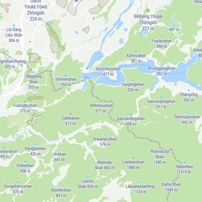
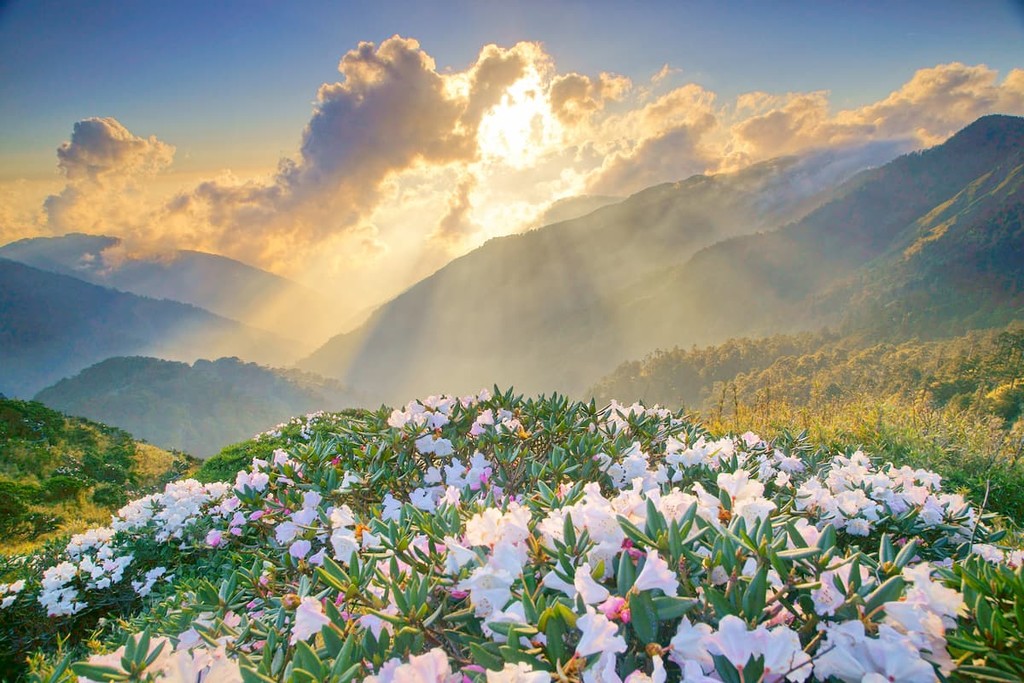
Shihnioushan
2 201 ft
(prom: 810 ft)
Jan 5
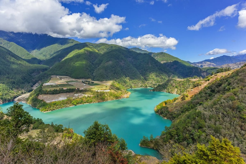
Nanguanyinshan
1 050 ft
(prom: 243 ft)
Dec 17, 2024
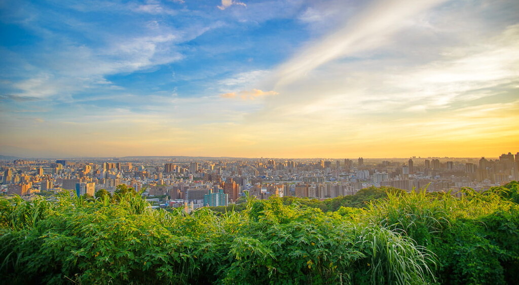
Santingshan
1 601 ft
(prom: 656 ft)