
Scan the QR code and open PeakVisor on your phone
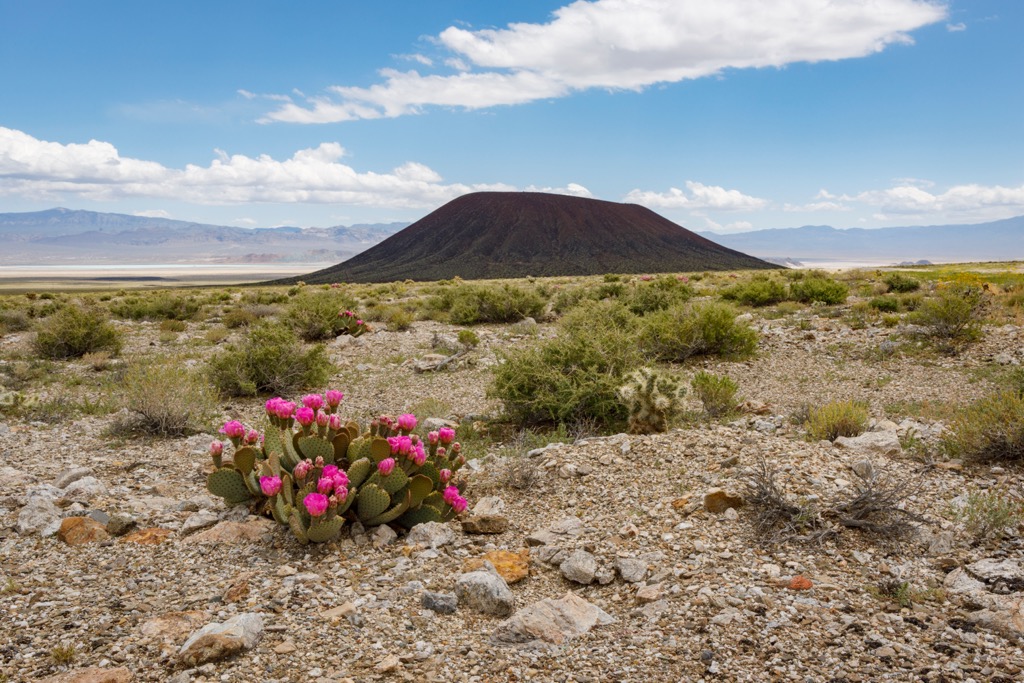
The Silver Peak Range is a small collection of mountains located on the California/Nevada border. From the Silver Peak Range, one gets great views of the staggering White Mountains to the west and southwest while the Palmetto Mountains rise dramatically from the south. The Silver Peak Range is home to eight named mountains, the highest and most prominent of which is Piper Peak (9,429ft/2,874m).
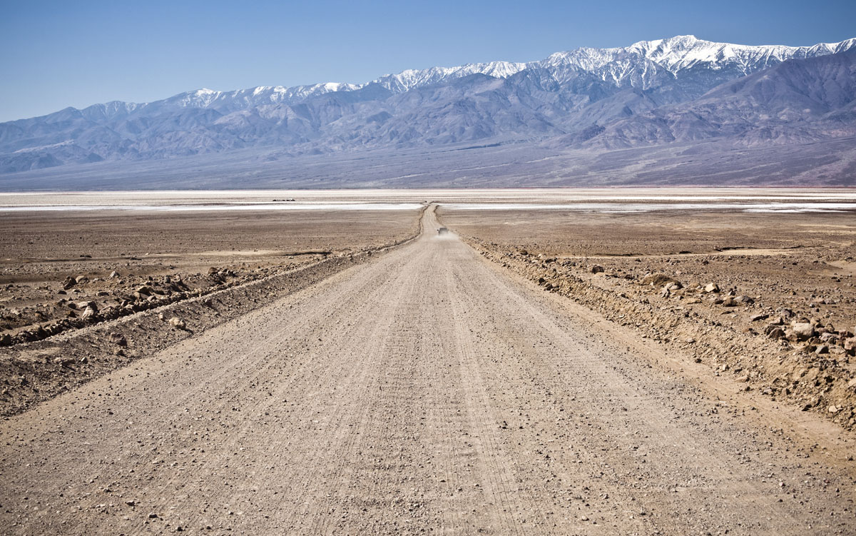
Located mostly in the southwestern portion ofEsmeralda County, Nevada, the Silver Peak Range forms the eastern and southeastern sides of the Fish Lake Valley. The Fish Lake Valley is a particularly long endorheic valley, which means that the valley’s namesake lake usually retains water as there is no true outflow of water to other bodies of water. While this might sound unique, the Fish Lake Valley is just one of many inward-draining valleys that make up the Great Basin.
The range also lies partially on top of the Furnace Creek Fault Zone, which runs for approximately 120 miles (200km) mostly along the California/Nevada border. The Furnace Creek Fault Zone is a right lateral-moving fault that moves in connection with the Death Valley Fault Zone, which starts near the Amargosa Valley of near Death Valley National Park and ends in the Fish Lake Valley.
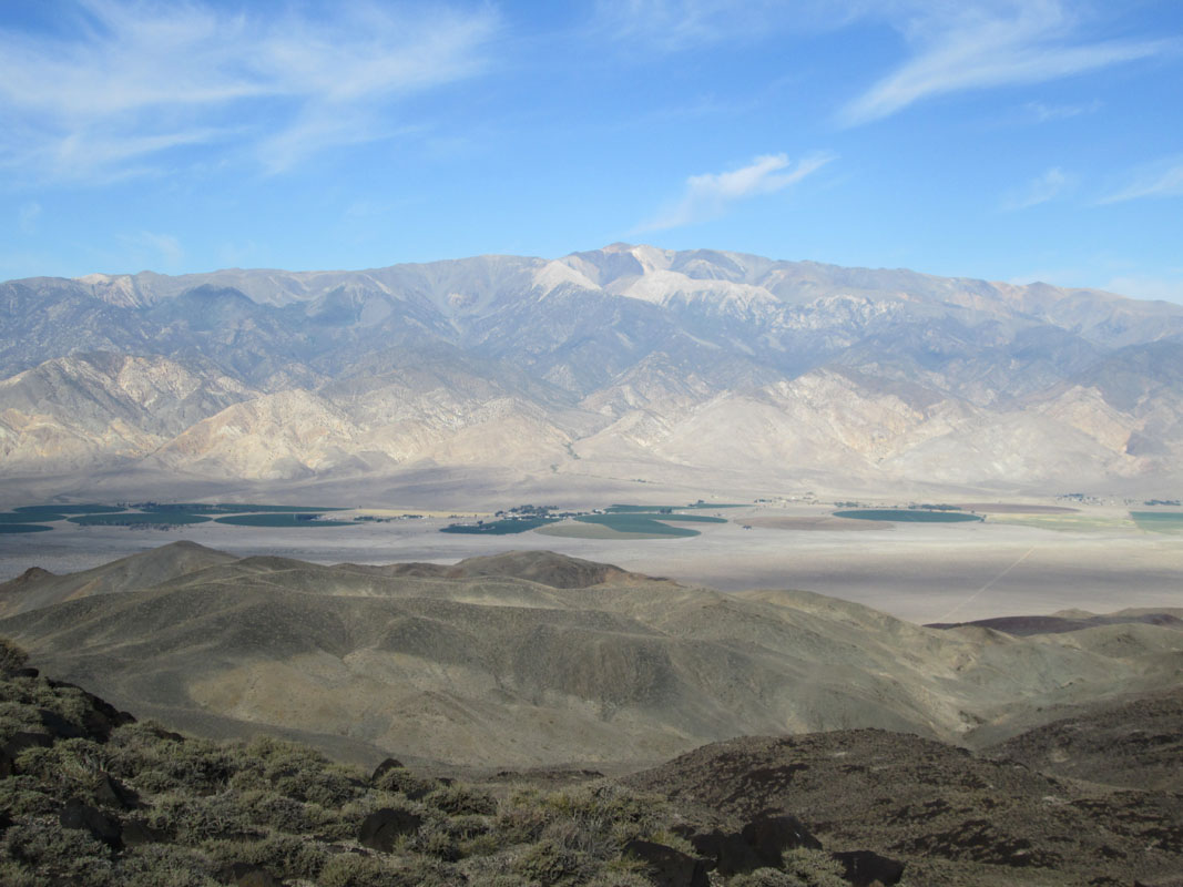
The southern end of the Fish Lake Valley and, indeed, the southern end of the Silver Peak Range lie in the eastern portion of Inyo County, California. The valley is very sparsely populated and is home to a collection of ranchers and the indigenous Paiute people who have called the area home for thousands of generations.
The Silver Peak Range is a trailless, campground-less, undeveloped mountain range located within the Silver Peak Wilderness Study Area. The study area is managed by the Bureau of Land Management, who are generally pretty lax when it comes to permits and camping, so long as you stay off of any fenced-off ranching and mining land.
That being said, despite the lack of trails in the Silver Peak Range, there are still plenty of adventures to be had in the area. Perhaps the best hiking option in the area is on Piper Peak, the tallest and most prominent mountain in the range.
Piper Peak is a seldom visited mountain in the Silver Peak Range. The mountain itself is forested and has no major features on it, but has gained some popularity due to its status as the twenty-third most prominent peak in the state of Nevada.
To hike Piper Peak, you’ll drive down Nevada State Highway 264 near the small town of Dyer, Nevada. From here, you’ll see a signed intersection for Eagle Road, where you’ll turn east and continue down the road until you make a left onto McAfee Canyon Road. Drive for about six miles up the road and park your car before it turns into a dirt road.
From here, you’ll head north toward the summit of Piper Peak, which is just 2.16 miles (3.48km) as the crow flies from the very end of McAfee Road. However, thank’s to Piper Peak’s prominence, you’ll have to gain some 2000 feet (610m) to gain the summit, so get your legs ready for a workout.
If you’re looking for another day hike to do in the Silver Peak Range after you’ve summited Piper Peak, you can venture up Sugar Peak, too. Sugar Peak (7,497ft/ 2,285m) is just south of McAfee Canyon Road, so you can follow the directions for Piper Peak to reach a good starting point for this hike.
The hike up Sugar Peak is about 1.5 miles (2.3km), one way from McAfee Canyon Road and gains nearly 1,400ft (426m) in elevation, so it’s a nice little outing into the mountains of the Silver Peak Range.
The Silver Peak Range is remote so you won’t find any luxury hotels around these parts. There are a few cities nearby, however, so here are some places to start your journey in the Silver Peak Range:
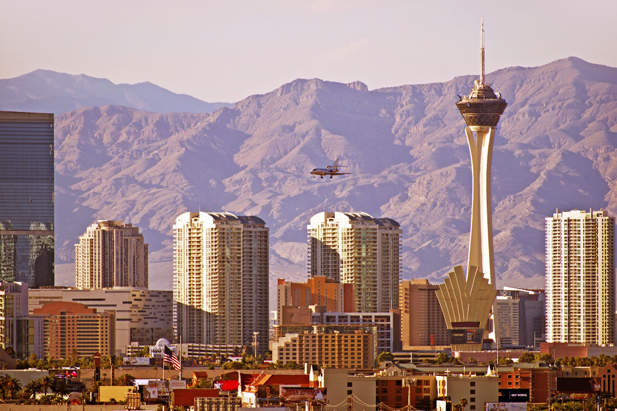
A three and a half hour drive from Dyer, Nevada and the Silver Peak Range, Las Vegas is home to an international airport, countless hotels and restaurants, and all of the gear and supplies you could possibly need for an adventure.
An outdoor enthusiast’s paradise, Bishop, California is a small town in the heart of the Sierra Nevada. Home to nearly 4,000 people, Bishop is no sprawling metropolis, but you’ll be able to find a place to stay and any supplies you might need for your trip. Oh, and Bishop is only an hour and a half from the Silver Peak Range, so you could even commute from town for a short day trip into the mountains.
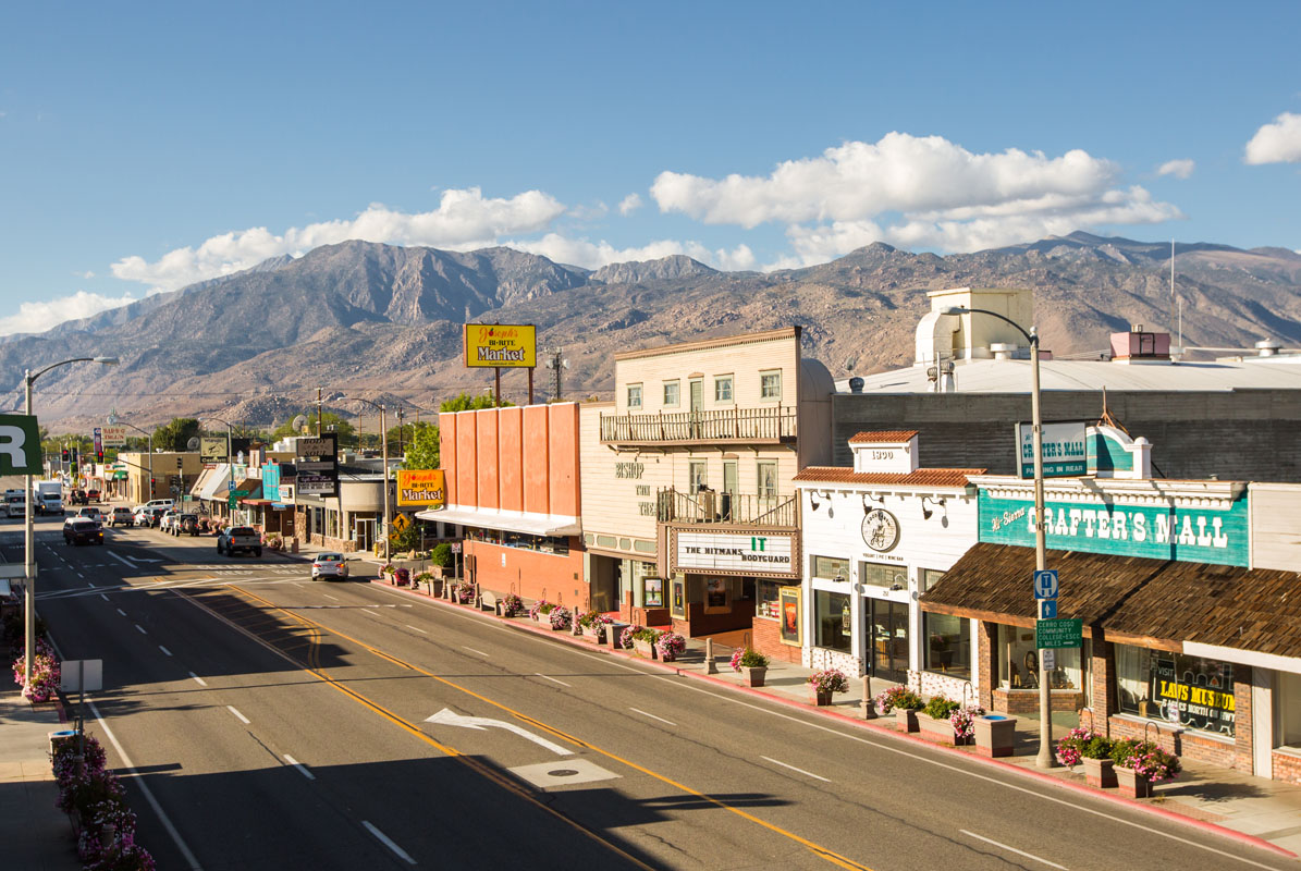
Bishop, California by Bishopvisitor - Own work, CC BY-SA 4.0


