
Scan the QR code and open PeakVisor on your phone
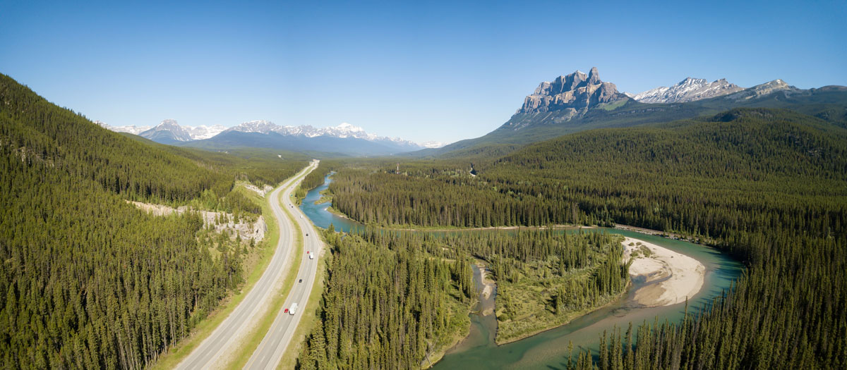
The Ottertail Range, a subrange of the Canadian Rockies, is a small, northwesterly extension of the Vermillion Range that contains just 32 named mountains. Although the Ottertail Range isn’t the largest subrange in the Canadian Rockies, it includes several incredible, high-altitude summits, glaciers, and alpine valleys. In fact, most visitors traveling the Trans-Canada Highway (Highway 1) in Yoho National Park will unknowingly gaze upon the snow-capped peaks of the Ottertail Range.
The tallest peak in the range is South Tower, which sits at 11,703 feet. Together, the South Tower and North Tower form the Mount Goodsir massif. This group of peaks is very obscure, so it’s not all that surprising to know that they are less frequented than other 11,000-foot summits in the Canadian Rockies. However, both towers can be climbed.
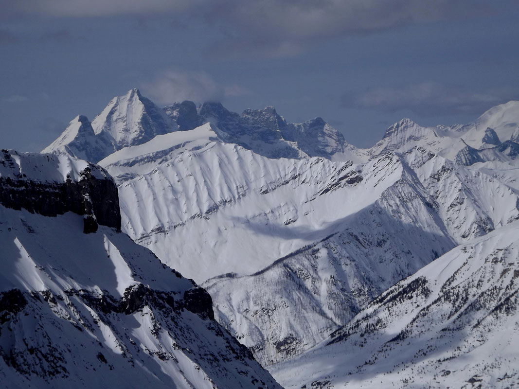
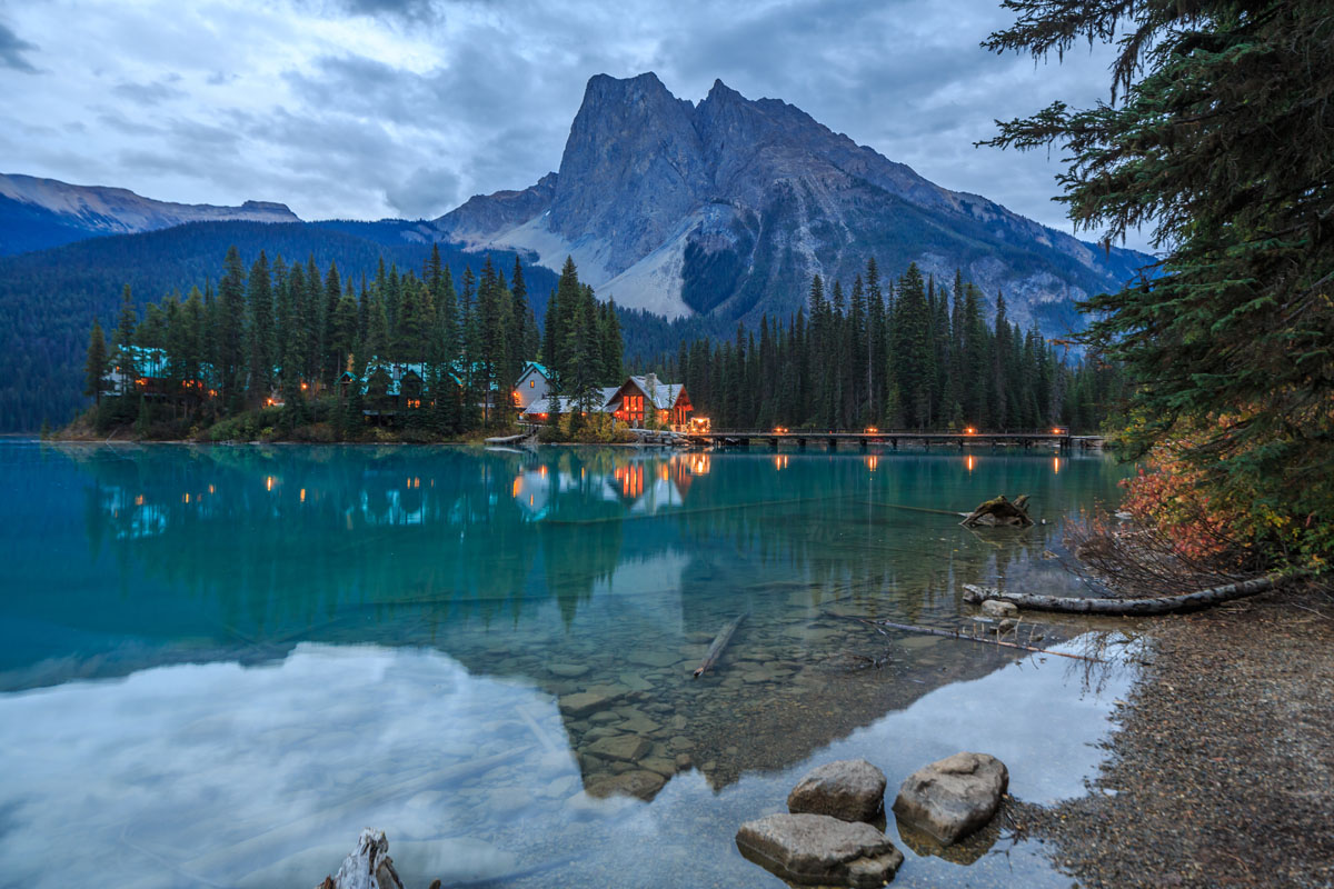
Another noteworthy summit in the Ottertail Range is Mount Vaux, which reaches 10,889 feet in elevation. Mount Vaux is a heavily glaciated, craggy peak that towers over the Hanbury Glacier along the northern end of the Ottertail Range. Like Mount Goodsir, however, Mount Vaux is rarely summited. Some people theorize that Mount Vaux isn’t sought after because it falls just short of 11,000 feet in elevation, making it less desirable to diehard peak-baggers and mountaineers. Rather than scale a mountain, most visitors choose to take in views of illustrious Mount Vaux from Emerald Lake.
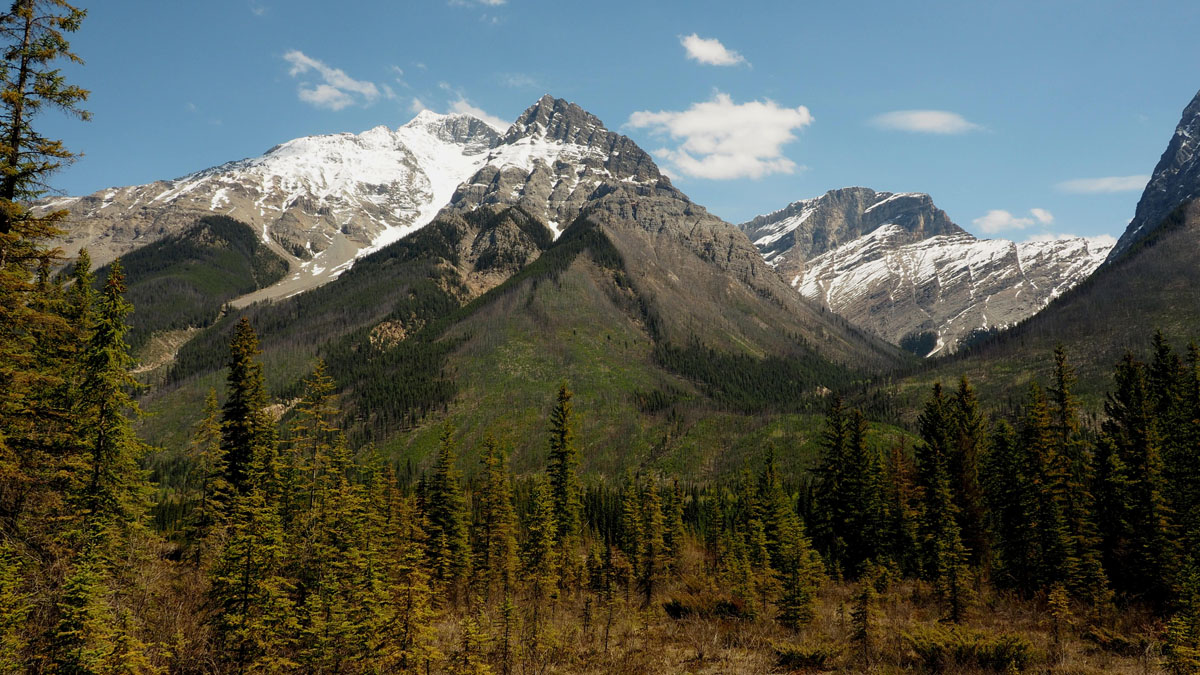
Aside from beautiful summits, the Ottertail Range is also home to several noteworthy glaciers including the Hanbury Glacier, Goodsir Glacier, East Goodsir Glacier, and Sharp Glacier.
Located in the heart of the Canadian Rockies, Yoho National Park is home to some of the most breathtaking scenery British Columbia has to offer. Seasoned backpackers, casual day-hikers, and general outdoor enthusiasts can take advantage of over 400 km of hiking trails that span incredible alpine passes, weave through pristine meadows, and lead to amazing cascading falls and crystalline alpine lakes. Popular destinations or attractions in the park include Takakkaw Falls, Twin Falls, Wapta Falls, Hoodoo Creek, Yoho Lake, Emerald Basin, Lake O'Hara, Emerald Lake, and sightseeing along the Trans-Canada Highway.
Field, which is located in the Kicking Horse River Valley, sits within Yoho National Park and serves as the perfect mountain getaway for travelers exploring the park and surrounding summits. Field isn’t exactly a large city, but what it lacks in size it more than makes up for in charm. Surrounded by the illustrious Canadian Rockies, Field is just a short drive from popular Yoho attractions and trails. Field is also just a few minutes from the Icefields Parkway, making it easy to take quick trips to Banff National Park and the infamous Lake Louise. Several historic houses can be rented for a weekend in the Rockies, as well as boutique rooms and accommodations at the Kicking Horse Lodge.

At 4,537 feet of elevation, Banff is the highest town in Canada. A quintessential Rocky Mountain resort town, Banff is nestled within Banff National Park and the Rockies can be admired directly from town. The lively streets of downtown are filled with restaurants, shopping, and accomodations. Nicknamed the “Castle in the Rockies,” the world-famous, historic Fairmont Banff Springs Hotel, offers year-round resort amenities and unparalleled skiing opportunities. However, there are plenty of other popular resorts and other accommodations in and around the town of Banff. Not to mention, Banff is home to three world-class ski resorts – Banff Sunshine, Lake Louise, and Norquay, which cumulatively boast over 8,000 acres of accessible terrain.


-R4.jpg)
ultra
11ers-bc
11ers-ca-rockies
british-columbia-ultras
ultra
11ers-bc
11ers-ca-rockies
british-columbia-ultras


