
Scan the QR code and open PeakVisor on your phone
The McBride Range include 20 named peaks. The highest is Mount Sir Richard at 2,681 m. Other notable peaks include Nivalis Mountain, Mount Macbeth and Mount Pitt.
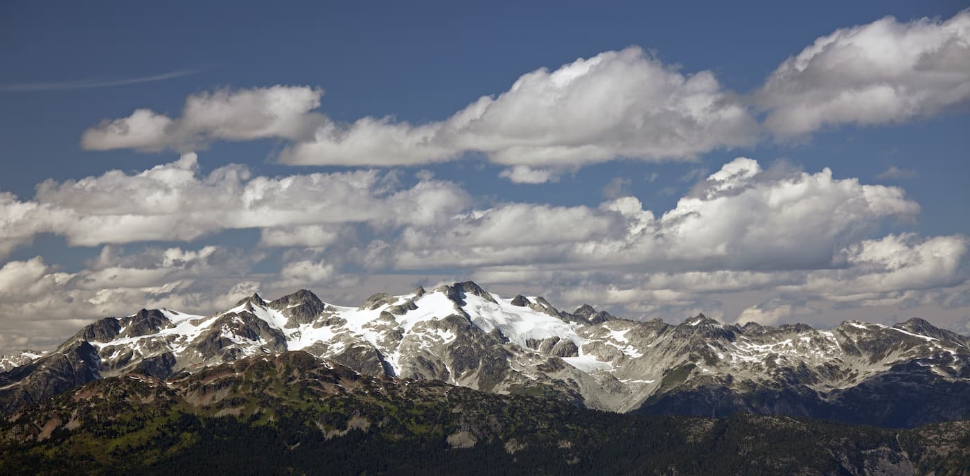
Located in southwestern British Columbia, the McBride Range is a small mountain range. The range is located at the northeast end of the Garibaldi Provincial Park. The region stretches 153 sq. miles. There are 18 named mountains in McBride Range. Mount Sir Richard is the highest point reaching 8,796 feet. The most prominent mountain is Mount Pitt. The McBride Range is home to some of the oldest trees in the region. Western Red Cedar trees that are over 1,000 years old, line the boardwalk along popular hikes. While the McBride range lies within Garibaldi Provincial Park, it is often much less visited than other areas making it the perfect place for a hike.


The highest peak in the McBride Range is Mount Sir Richard, at 2,681 m.
The McBride Range have 20 named peaks.


