Get PeakVisor App

❤ Wishlist ×

Choose
Delete

Kubiki Mountains

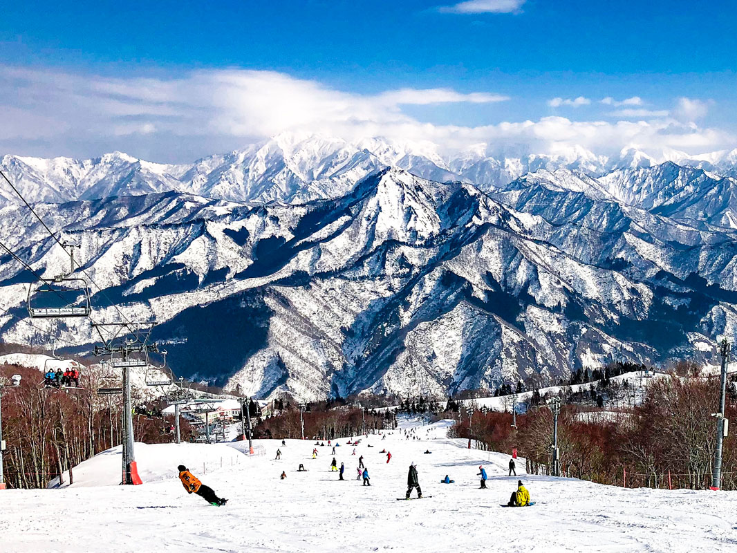
There are 31 named mountains in the Kubiki Mountains. The highest and the most prominent mountain is Mt. Hiuchi (2,462m).

Kubiki Mountains

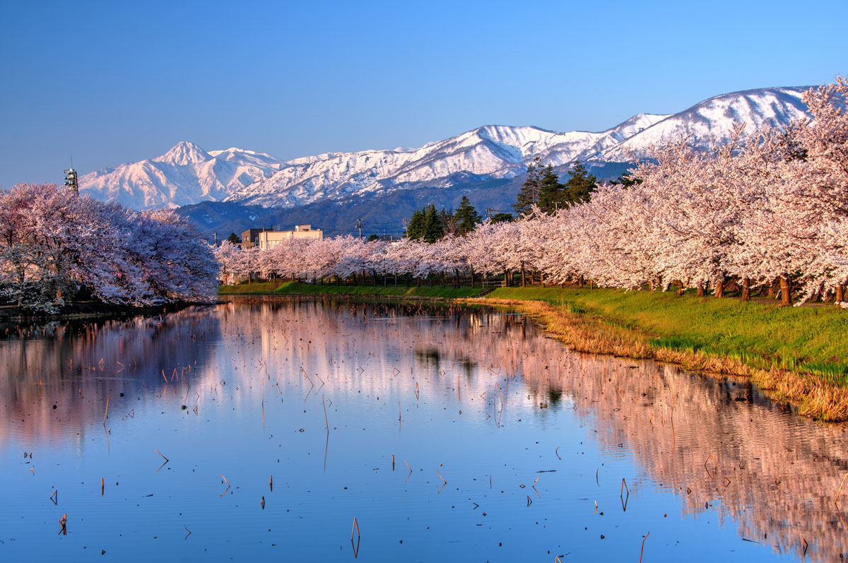
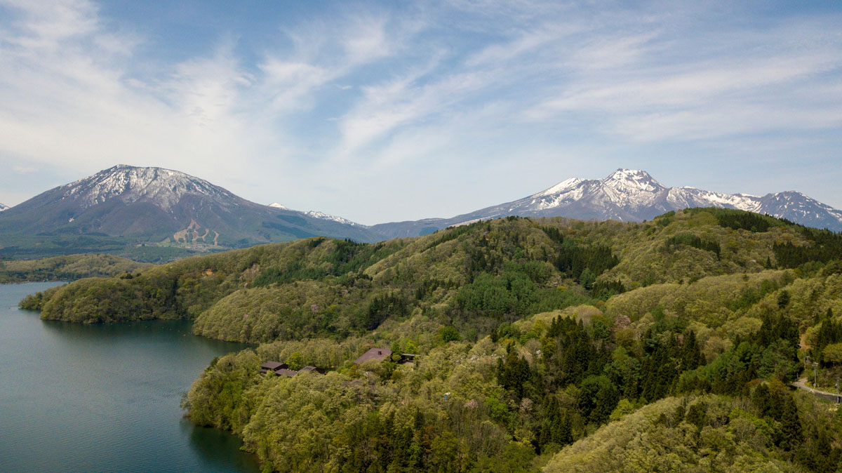
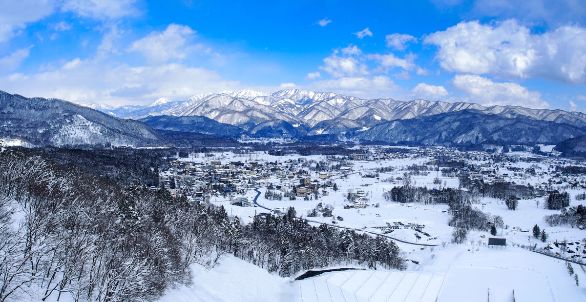
Located on the western side of the Seki river and eastern side of the Hime river, these mountains connect Nagano Prefecture to Niigata Prefecture. It is a minor range also known by the names of Kubiki Alps and the Myōkō Range that in 1956 became part of the Jōshin'etsu-kōgen National Park, shifting to Myōkō-Togakushi Renzan National Park in 2015.

Niigata Prefecture

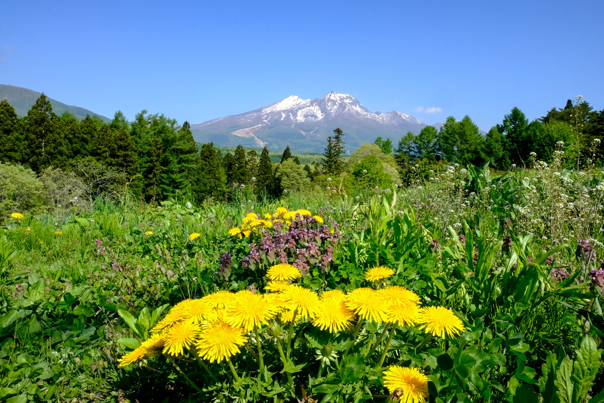
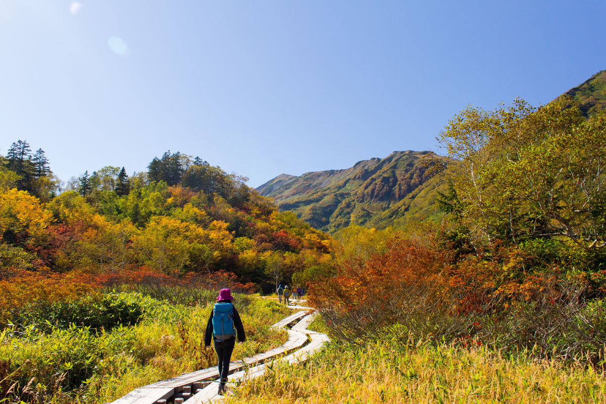
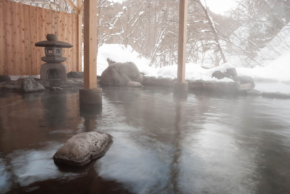
The Kubiki Mountains constitute the northernmost point of the Fuji Volcanic Belt; their volcanic origin is proven by the presence of numerous hot springs. Also, they are known for a huge variety of alpine plants and endemic animals that populate the area.

Major Hiking Areas

  • Mt. Hiuchi (火打山 2,462m) is surrounded is sandwiched between an active volcano Mt. Yakeyama (2,400m) and the stratovolcano Mt. Myōkō (妙高山 2,459m). During the Shōwa period (1926-1989), when this peak was triangulated for the first time, two eleven-faced Kannon dating back to the Kamakura period (1192–1333) were discovered, meaning this mountain was the focus of a religious cult in ancient times. Compared to Mt. Myōkō, another important peak of the same range, Mt. Hiuchi is far less popular and less crowded. From the Sasagamine camping site, the summit can be reached in 4h30m through a route on the southern side. Near the summit of Mt. Hiuchi, there is the famous Koya Pond, listed by CNN as one of the top 25 most beautiful spots in the world. Here you can lodge and admire the multistoried marshy grassland typical of this area. The path is very well maintained. Multi-day hikers may choose to continue the hike to Mt. Myōkō. A hike of 2 days and 1 night is recommended due to the route length. If you are lucky, you can see the endemic Japanese grouse around Raichodaira camping site.
  • Myoko Range

  • Mt. Myōkō (妙高山2,459m) is listed in the 100 Famous Japanese Mountains. Its natural beauty is unparalleled. It also hosts one of the National Recreation Forest Therapy sites and includes 6 different therapy routes. The therapeutic value of this particular environment is considered a consequence of the presence of a high quantity of negative ions, which have a beneficial effect on a human body. The Numanohara wetlands, the cradle of wildflowers and birds, offers another opportunity to relax and enjoy the nature of the Kubiki Mountains inside its 21ha area.
  • Myoko Mount

  • Mt. Tenguhara (天狗原山 2,193m) is located outside the popular routes, on the border between the cities of Otari and Myōkō. Otari is famous for ski resorts. Since the standard trail lays on the western side of the mountain and runs along a tributary of the Hime river on the prefectural boundary, it is not visible until you get close to the Otari onsen. From Otari, it takes about 1h walking to reach the trailhead located beside the old mines. It is not accessible by car. The trail suddenly becomes very steep and ropes are needed to proceed the climbing for 4h, so we recommend this hike only to expert hikers. From Otari village, there are other trekking routes hikers may like to follow, like the trail in the Tsugaike Nature Park that offers a splendid view on both mountains and grasslands on a 5.5km trail suitable for families and people who want to share a light trekking experience in the same area.
  • Tsugaike Nature Park

  • Mt. Kurohime (黒姫山 1,731m) - Being located on the western side of Nojiri lake, this volcano is also called the Shinano Fuji due to its extremely beautiful shape that reminds of Mt. Fuji. There are several volcanic ponds on its crater, like the Nanatsuike Pond and the Oike Pond. The mountain's name refers to the legend telling about a rich lord who lived approximately during the 15-16th centuries and had a beautiful daughter called Kurohime (黒 kuro “black” 姫 hime “princess”). She fell in love with a young man despite her father’s dissent, but the young man was a dragon in its human form. He demanded insistently for the princess to be given to him and was thus causing storms and disasters in the country. The princess went with him but asked him to stop the storms and from that moment they went to live inside the mountain that is now called Kurohime. Hikers can choose among four main courses of intermediate difficulty level, each one taking on average from 4h to 6h to be completed. The access may be difficult since you have to take a bus from the station to reach the parking lot, from there it takes another 30m to reach the trailhead.
  • Mt. Amakazari (雨飾山 1,963m) is one of the 100 Famous Japanese Mountains. It is located in the proximity of the Hakuba Valley, a stunning location that hosts 10 top class snow resorts. Despite its majestically rocky appearance, the main trails are surrounded by enchanting beech forests. The main trail begins in the parking lot and it starts with a descent resulting in a plain path after a brief walk. Then, it leads into a small forest which ends in the vicinity of an elegant waterfall. The total walking time is about 4h, but it may differ if you take one of the several parallel courses.
  • Mt. Iizuna (飯綱山 1,917m). Since this peak can be seen from Nagano city, it has become a symbol for local people. Together with Mt. Kurohime, Mt. Myoko, Mt. Madarao, and Mt. Togakushi, Mt. Iizuna form the so-called Hokushingogaku (北信五岳 “the five peaks of northern Shinano”). There are two main trails tracked on its slopes, located respectively on the southern and the western side of the mountain. The former can be easily accessed by bus and it is less steep than the latter which, on the contrary, can boast a better view of the surrounding area. If you saved enough strength on your way back, you would plan a stop at the Kagami Pond and Tokugakushi Shrine. Famed as hallowed ground, Mt. Iizuna has been the object of mountain peak veneration from long ago. The torii gate and guardian komainu statues at the trailhead, the 13 stone Buddhas quietly standing by the hiking trail, the shrine at the summit, and many other features offer climbers a sense of a sacred atmosphere to this day. Last but not least, it was the territory of the Iizuna Ninpō until the Edo Period (1603-1868).
  • Mount Madarao

Major Cities and Facilities

  • Otari Village aka Hakuba's powder snow capital is actually quite a small village with a population of barely 3K citizens, but it has nine onsens should you wish to soak away your fatigue after those frolics in the nearby mountains.
  • Hakuba

  • Shinano is a nice town, and not only the name of a mighty aircraft carrier and a name of a corporation producing electronics.
  • Hakuba aka the Northern Japanese Alps has an annual snowfall of over 11 meters, which makes it the central hub for 10 ski resorts with more than 200 runs.
  • Itoigawa is located in the far southwestern corner of Niigata Prefecture and is bordered by the Sea of Japan in the north. When here, go to the free train museum which has an original KiHa 52 diesel train on display, have a strolling therapy at Gyokusui-en Garden which opened in 1981, marvel at jade artworks and definetly sample some of most delicious seafood, especially crab or try some of the area's famous sake, produced by five local sake breweries.
  • Iiyama is an ideal Japanese furusato, a place with rolling hills, picturesque mountains, and clear rivers. The area around Iiyama has some of the heaviest snowfall in the world. Iiyama can boast of giant beech trees of Mt. Nabekura and the Chikumagawa (also known as the Shinanogawa), Japan's longest river. Iiyama City is home to four onsens (hot springs) resorts: Iiyama-Yutaki onsen, Togari onsen, Madarao-Kogen onsen, and Iiyama-Hokuryuko onsen. Each offers spectacular views of the Shinshu landscape, allowing visitors to gaze at the mountain ranges or listen to the flow of the Chikuma river while enjoying the baths.
  • Jōetsu
  • Myoko

Hotsprings

  • Otari Onsen
  • Tsubame Onsen
  • Akakura Onsen
  • Ikenotaira Onsen
  • Sasakura Onsen
  • Amakazari Onsen
  • Hotsprigs

Ski Resorts

Explore Kubiki Mountains with the PeakVisor 3D Map and identify its summits.

Register Peak
Peak Name
Latitude
Longitude
Altitude
Register
Teleport
PeakVisor
This 3D model of Sagarmatha National Park in Nepal was made using the PeakVisor app topographic data. The mobile app features higher precision models worldwide, more topographic details, and works offline. Download PeakVisor maps today.
 Download OBJ model
PeakVisor
The download should start shortly. If you find it useful please consider supporting the PeakVisor app.