Scan the QR code and open PeakVisor on your phone
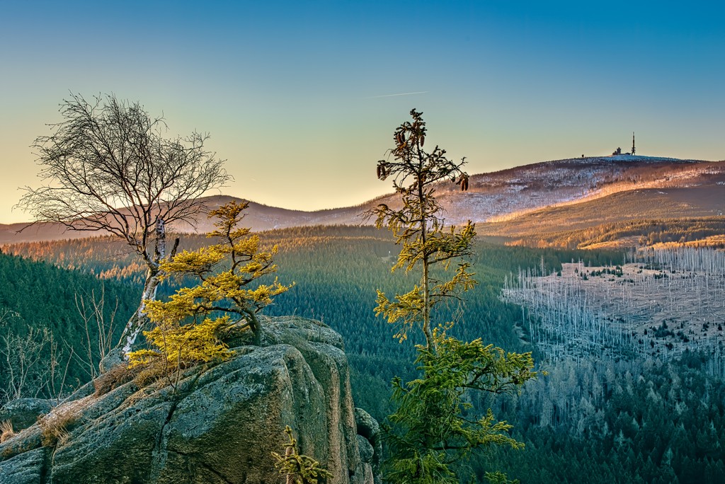
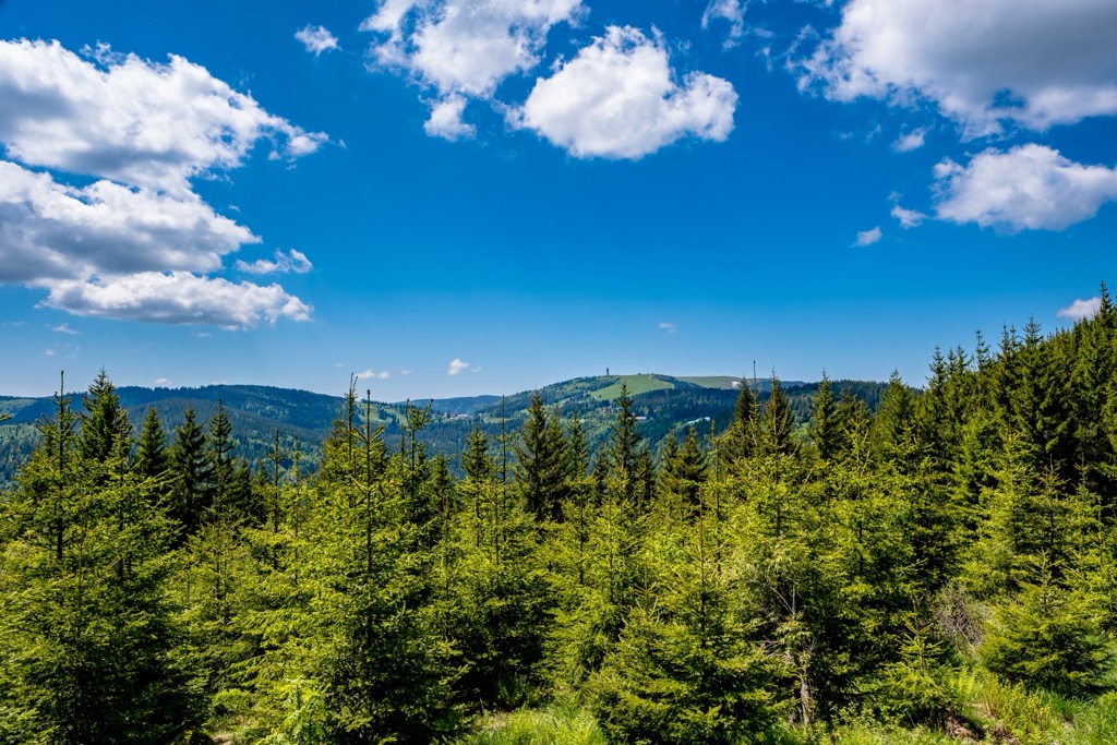
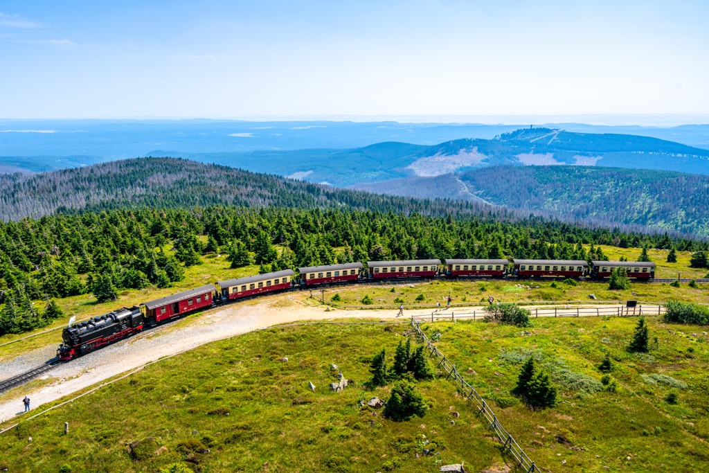
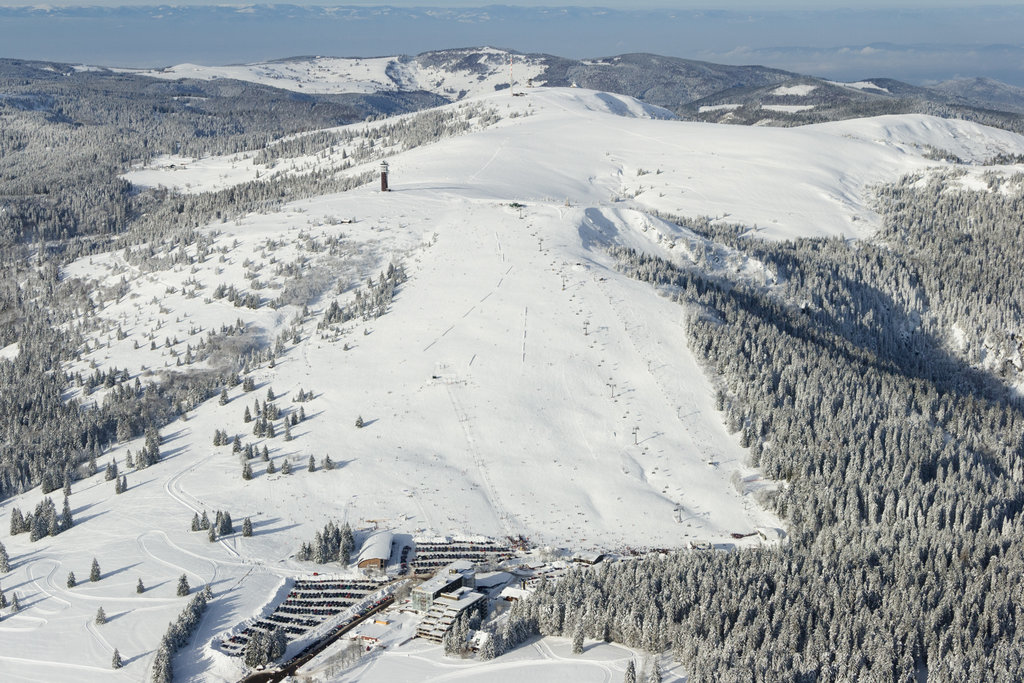
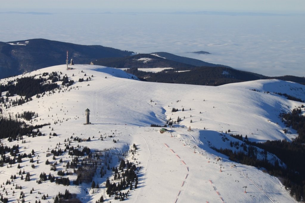
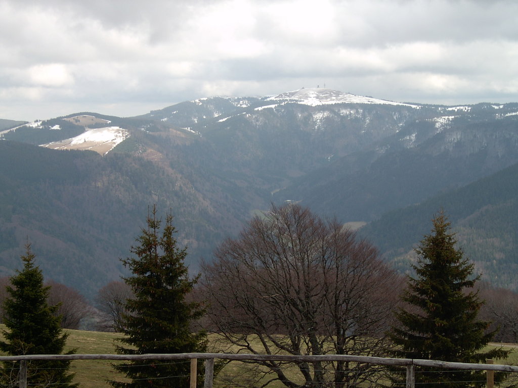
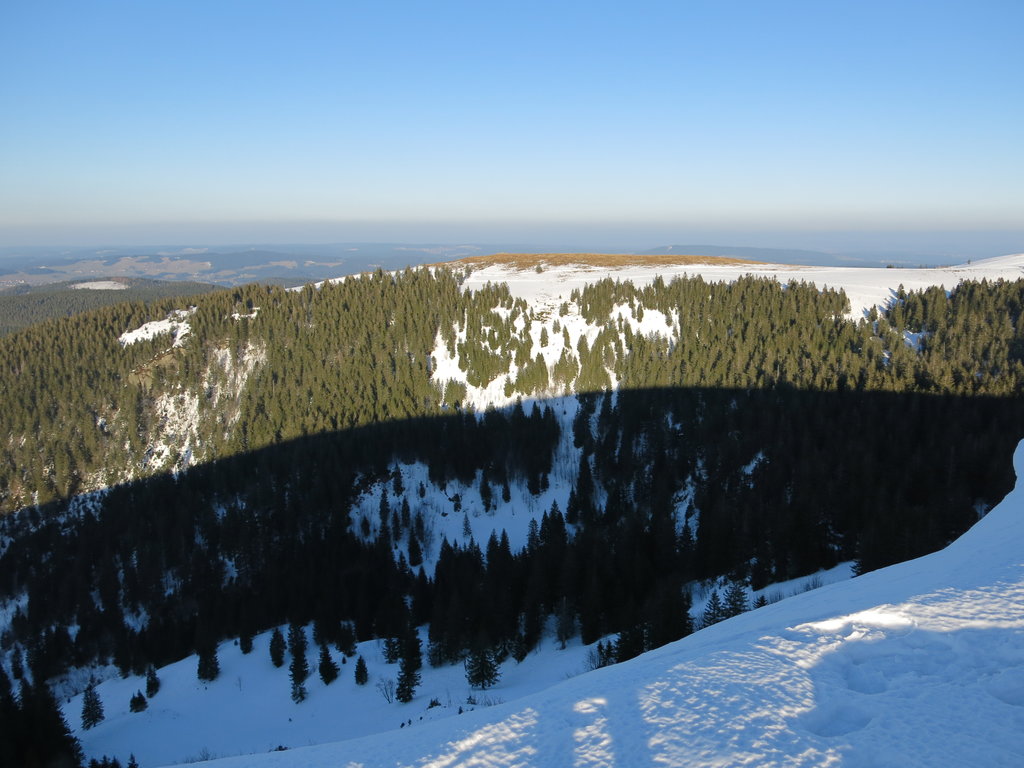
The German Highlands or Hesse Highlands is a vast mountainous area consisting of two dozen thousand low mountains in southwestern Germany that lie mainly within the state of Hesse, one of the 16 largest regions in the country, but also in the neighboring Baden-Württemberg, Rhineland-Palatinate, and North Rhine-Westphalia. The main feature of the area is its highest and the most prominent mountain, Feldberg (1,493 m / 4,898 ft), which is also the highest outside the Alps, located in a subrange of the German Highlands called the Black Forest, which is also a national park. It should not be confused with the Bavarian Forest National Park in the east of the country on the border with the Czech Republic. In total there are 22192 named mountains in the German Highlands.