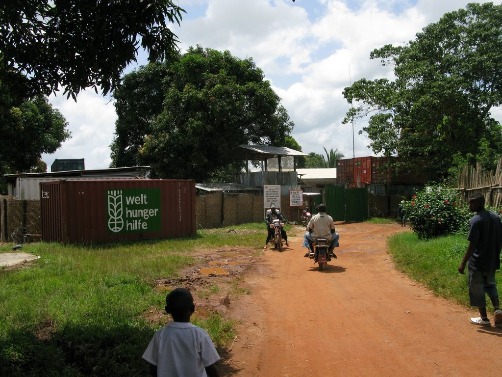
Zwedru is the capital of Grand Gedeh County, one of the 15 counties in Liberia. Zwedru is located in Tchien District of Grand Gedeh County, near the Cavalla River in the country's south-eastern region and near the border with Côte d'Ivoire. It is located 270 miles southeast from the capital city of Monrovia. The town is a stronghold of the Krahn tribe. The town gets its name after the head of a local anteater creek. Zwedru is surrounded by a lot of forests, and lies in a tropical region. The north-western section of Zwedru has an important forest region with rare bird species. Before the Liberian Civil War, Zwedru was known for timber production and its wood products industry. As of the 2008 census, Zwedru has a population of 23,903 making it the largest settlement east of Cestos River. Of this, 11,828 were male and 12,075 female. Zwedru residents are mainly Krahn, Mandingo, Grebo, Fulani and Gio and Mano tribes. Zwedru is the largest metropolis in the southeast and is the key inland transportation center in the region. The intersection of the two main highways linking the 5 counties in the region lies some 8 miles southwest of the city. The William D. Coleman Airfield with its gravel-surfaced runway, lies within the city limits and provides only domestic services. Zwedru, like its host county, is landlocked and has no form of water transport. The city is well planned, with some claiming it to have the best road system outside Montserrado County. Motorcycles, locally called penpen, provide transport for most of the people. Trucks transport bulk of the goods that enter the city from Monrovia or Guinea. Communication in the city has made significant progress as seen in the media sector where few radio stations have erected in post war era. There are 3 FM radio stations that serve the city and there is no domestic Television service. Smile FM is the oldest radio station in Zwedru and is the only community run media institution. Top FM and Flash FM are the other two and are under private operations. The state own broadcasting TV network does not reach the city due to its low range coverage. A newspaper recently began publishing in the area. Liberia's two main GSM companies Lonestar and Orange all have steel towers in Zwedru. As the main population center in the county and the region as a whole, Zwedru has many entertainment centers, Hotels, Motels and Guest Houses. There are 10 high schools (3 public and 7 private) in the city and several primary schools mainly operated by churches and other private groups. The 10 diploma and national examination certificate offering institutions are (public): The Zwedru Multilateral High School, Tubman Wilson Institute, Suah Memorial High School; (private): Robert Baker Richardson Baptist High School, M. Nixon Garlo Evangelical Lutheran High School, Bishop Juwle High School, Zwedru United Methodist High School, Salvation Army High School, Mike Tula Wilson AG School and Solid Foundation High School recently established in 2009. The only campus of the Grand Gedeh County Community College is situated on the outskirts of the city in the Garloville area.
Show more
Sun and Moon
Mon
Tue
Wed
Thu
Fri
Sat
Sun
May 2022
Date and time
00:00
06:00
12:00
18:00
Today
--
--
Sunrise
--
Sunset
--
Moonrise
--
Moonset
Phase
🌔 Waxing Gibbous
The perfect light time for beautiful photos:
--
Sunrise
--
Sunset
PeakVisor app
Get the app on your smartphone
New Panorama Tools
Trace location on the map
Measure distances
All the instruments are available in the context menu as well.
We use GPS information embedded into the photo when it is available.
3D mountains overlay
Adjust mountain panorama to perfectly match your photos because recorded by camera photo position might be imprecise.
Move tool
Rotate tool
Zoom
More customization
Choose which peak labels should make into the final photo and what photo title should be.
Next
Photo Location
Satellitte
Flat map
Relief map
Latitude
Longitude
Altitude
OR
Latitude
°'''
Longitude
°'''
Apply
Register Peak
Peak Name
Latitude
Longitude
Altitude
Register
Teleport
PeakVisor
This 3D model of Sagarmatha National Park in Nepal was made using the PeakVisor app topographic data. The mobile app features higher precision models worldwide, more topographic details, and works offline. Download PeakVisor maps today.
Download OBJ model
PeakVisor
The download should start shortly. If you find it useful please consider supporting the PeakVisor app.
PeakVisor for iOS and Android
Be a superhero of outdoor navigation with state-of-the-art 3D maps and mountain identification in the palm of your hand!


.jpg)