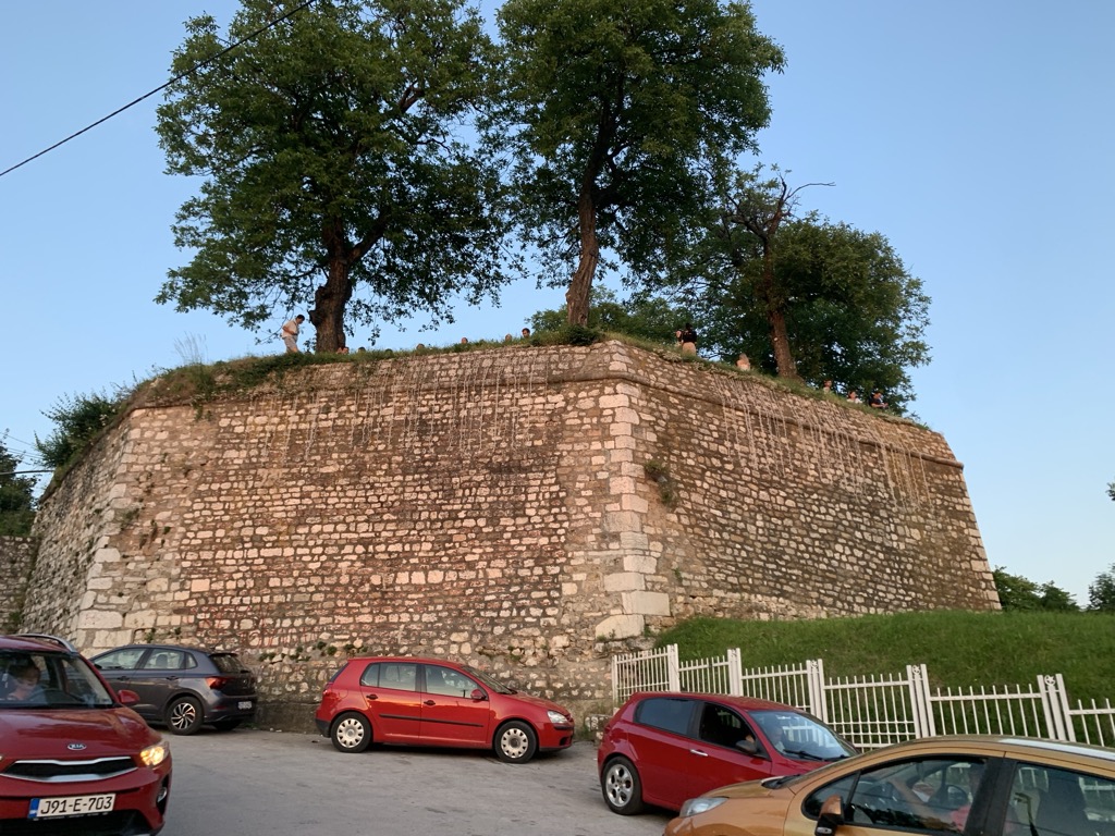
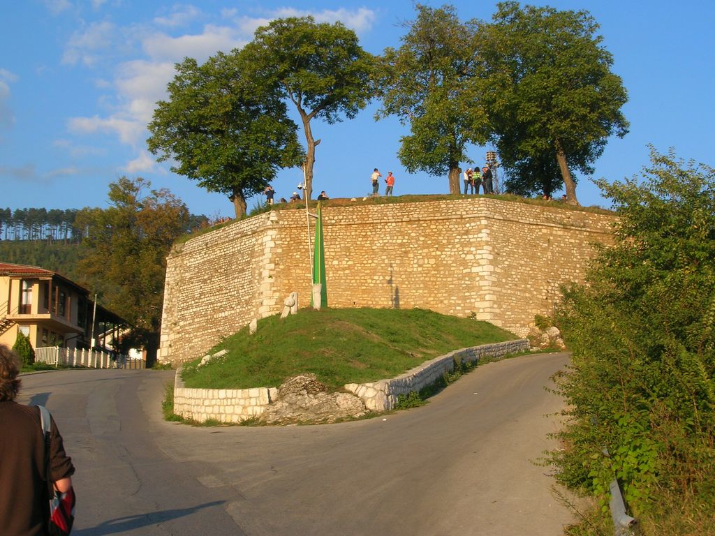
The Yellow Fortress or Yellow Bastion (Bosnian, Croatian and Serbian: Žuta Tabija, Serbian Cyrillic: Жута Табија) is a cannon fortress at the entrance of the "Walled City of Vratnik". It was built between 1727 and 1739 in area called Jekovac, close to the Jajce Barracks and the Jekovac water reservoir. It served as one of the defense points against the Austro-Hungarian troops in 1878. The fortress was damaged and rebuilt several times. The most recent renovation took place in 1998.
We use GPS information embedded into the photo when it is available.
3D mountains overlay
Adjust mountain panorama to perfectly match your photos because recorded by camera photo position might be imprecise.
Move tool
Rotate tool
Zoom
More customization
Choose which peak labels should make into the final photo and what photo title should be.
Next
Photo Location
Satellitte
Flat map
Relief map
Latitude
Longitude
Altitude
OR
Latitude
°'''
Longitude
°'''
Apply
Register Peak
Peak Name
Latitude
Longitude
Altitude
Register
Teleport
PeakVisor
This 3D model of Sagarmatha National Park in Nepal was made using the PeakVisor app topographic data. The mobile app features higher precision models worldwide, more topographic details, and works offline. Download PeakVisor maps today.
Download OBJ model
PeakVisor
The download should start shortly. If you find it useful please consider supporting the PeakVisor app.
PeakVisor for iOS and Android
Be a superhero of outdoor navigation with state-of-the-art 3D maps and mountain identification in the palm of your hand!