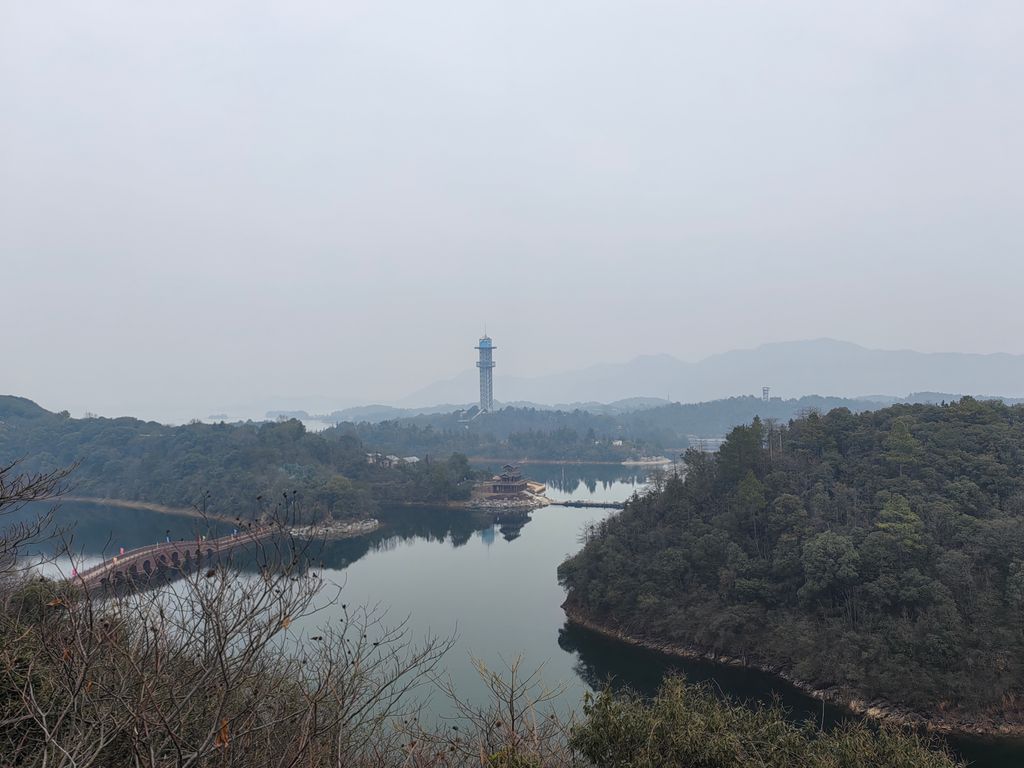
Mount Lu West Sea (Chinese: 庐山西海), also named Zhelin Reservoir (Chinese: 柘林湖; pinyin: Zhèlín Hú, Gan: Chā-līm fîkhú), is a reservoir located between the counties of Yongxiu, Wuning, and Xiushui in Jiujiang, China. It is 90 kilometers to the south of Mount Lu, with a total area of 308 square kilometers. The reservoir is the largest in Jiangxi province, with a storage capacity of 7,920,000,000 cubic metres. Although the dam is located in an area of low seismic activity, after the impounding of the Zhelin Reservoir, seismic activity increased markedly. Zhelin Reservoir is named after Zhelin Town, the site of the largest hydropower earth dam blocking project in Asia. It has an average water depth of 45 meters and a visibility of more than 9 meters, rich in wild fish species, like Culter alburnus, Red-tailed Xenocypris, Xenocypris davidi, and Siniperca chuatsi. The American reality program Survivor filmed its fifteenth season, Survivor: China, on islands in the reservoir between June and August 2007. Survivor host Jeff Probst claimed that this was the first American television series to be filmed entirely within China.
Show more
Sun and Moon
Mon
Tue
Wed
Thu
Fri
Sat
Sun
May 2022
Date and time
00:00
06:00
12:00
18:00
Today
--
--
Sunrise
--
Sunset
--
Moonrise
--
Moonset
Phase
🌔 Waxing Gibbous
The perfect light time for beautiful photos:
--
Sunrise
--
Sunset
PeakVisor app
Get the app on your smartphone
New Panorama Tools
Trace location on the map
Measure distances
All the instruments are available in the context menu as well.
We use GPS information embedded into the photo when it is available.
3D mountains overlay
Adjust mountain panorama to perfectly match your photos because recorded by camera photo position might be imprecise.
Move tool
Rotate tool
Zoom
More customization
Choose which peak labels should make into the final photo and what photo title should be.
Next
Photo Location
Satellitte
Flat map
Relief map
Latitude
Longitude
Altitude
OR
Latitude
°'''
Longitude
°'''
Apply
Register Peak
Peak Name
Latitude
Longitude
Altitude
Register
Teleport
PeakVisor
This 3D model of Sagarmatha National Park in Nepal was made using the PeakVisor app topographic data. The mobile app features higher precision models worldwide, more topographic details, and works offline. Download PeakVisor maps today.
Download OBJ model
PeakVisor
The download should start shortly. If you find it useful please consider supporting the PeakVisor app.
PeakVisor for iOS and Android
Be a superhero of outdoor navigation with state-of-the-art 3D maps and mountain identification in the palm of your hand!