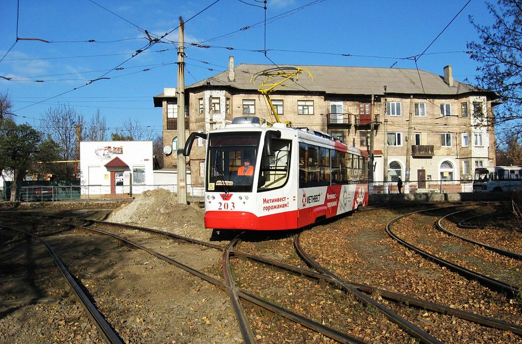
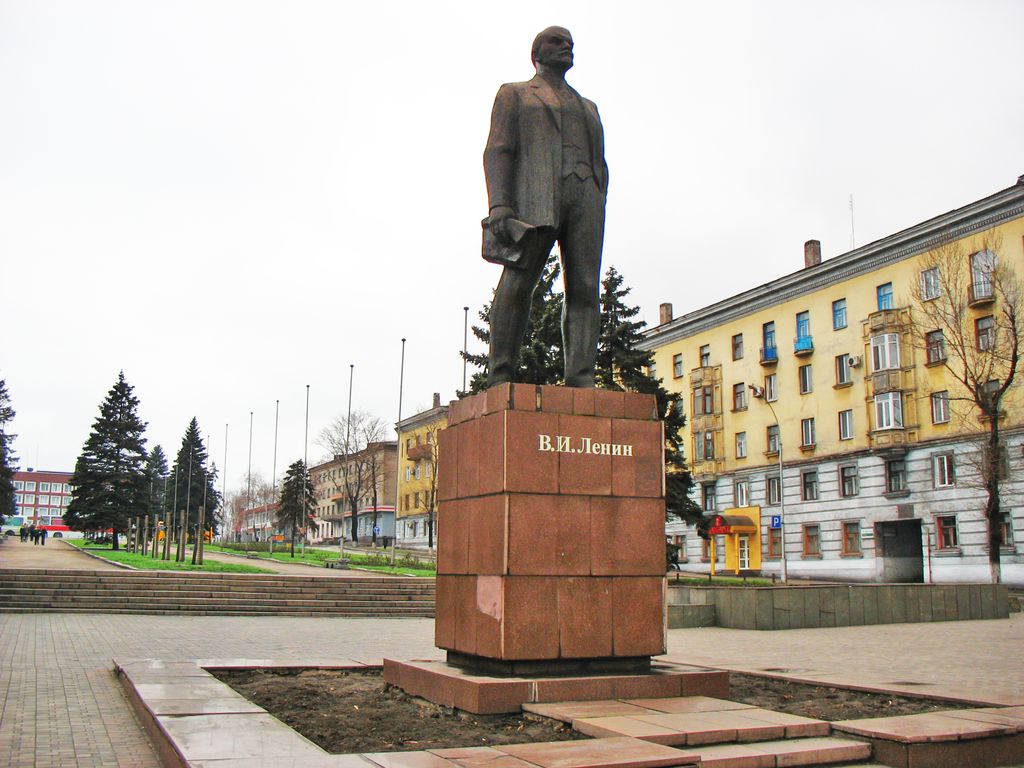
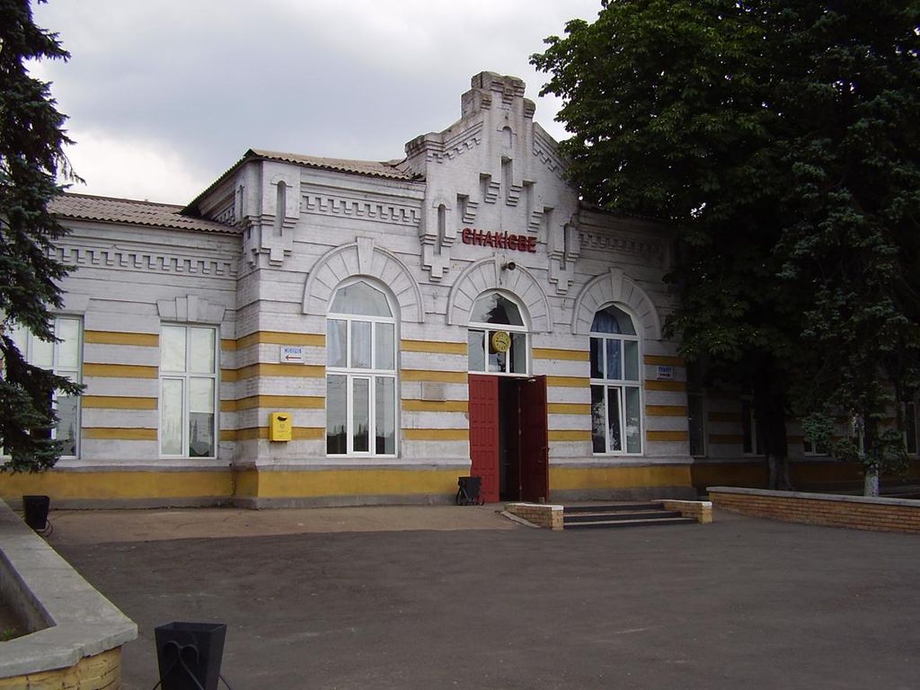
Yenakiieve (Ukrainian: Єнакієве, pronounced [jeˈnɑ.k⁽ʲ⁾i.je.we] ; Russian: Енакиево, romanized: Yenakiyevo) is a city and the nominal administrative center of Yenakiieve urban hromada in the Horlivka Raion, Donetsk Oblast of Ukraine. The city stands on the Krynka River about 60 kilometres (37 mi) from the oblast's administrative center, Donetsk. Its population is approximately 76,673 (2022 estimate). Yenakiieve is an important regional centre of coal mining, metallurgy, chemical production and manufacturing. The city's outdated industry has caused accidents like that of a gas explosion which occurred in June 2008 at one of Yenakiieve's coal mines. Yenakiieve was founded in 1898 when numerous workers' settlements around the Peter's Iron and Steel Works were united into a single settlement named after Fyodor Yenakiyev. Its first coal mines dated from 1883. The settlement was incorporated as a city in 1925. By 1958, the city and factories had expanded significantly and overtook the outlying villages of Simyukuo, Yevrah, and Tsiminyenny, all of which were resettled in their entirety when local livestock could not survive the expanding steel mills' runoff and pollution. One of the oldest metallurgical factories of Ukraine — the Yenakiieve Iron and Steel Works operates in Yenakiieve. The city is known as the birthplace of the former President of Ukraine, Viktor Yanukovych (in office 2010–2014) and his son, who was the People's Deputy of Ukraine from 2006 to 2014.
Show more
Sun and Moon
Mon
Tue
Wed
Thu
Fri
Sat
Sun
May 2022
Date and time
00:00
06:00
12:00
18:00
Today
--
--
Sunrise
--
Sunset
--
Moonrise
--
Moonset
Phase
🌔 Waxing Gibbous
The perfect light time for beautiful photos:
--
Sunrise
--
Sunset
PeakVisor app
Get the app on your smartphone
New Panorama Tools
Trace location on the map
Measure distances
All the instruments are available in the context menu as well.
We use GPS information embedded into the photo when it is available.
3D mountains overlay
Adjust mountain panorama to perfectly match your photos because recorded by camera photo position might be imprecise.
Move tool
Rotate tool
Zoom
More customization
Choose which peak labels should make into the final photo and what photo title should be.
Next
Photo Location
Satellitte
Flat map
Relief map
Latitude
Longitude
Altitude
OR
Latitude
°'''
Longitude
°'''
Apply
Register Peak
Peak Name
Latitude
Longitude
Altitude
Register
Teleport
PeakVisor
This 3D model of Sagarmatha National Park in Nepal was made using the PeakVisor app topographic data. The mobile app features higher precision models worldwide, more topographic details, and works offline. Download PeakVisor maps today.
Download OBJ model
PeakVisor
The download should start shortly. If you find it useful please consider supporting the PeakVisor app.
PeakVisor for iOS and Android
Be a superhero of outdoor navigation with state-of-the-art 3D maps and mountain identification in the palm of your hand!