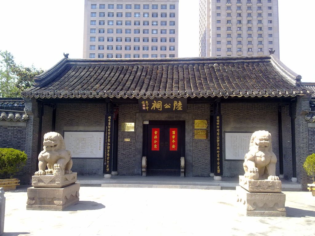
Yancheng (simplified Chinese: 盐城; traditional Chinese: 鹽城; pinyin: Yánchéng), formerly known as Yandu, is a prefecture-level city in northeastern Jiangsu province, People's Republic of China. As the city with the largest jurisdictional area in Jiangsu, Yancheng borders Lianyungang to the north, Huai'an to the west, Yangzhou and Taizhou to the southwest, Nantong to the south, and the Yellow Sea to the east. Formerly a county, the current Yancheng city was founded on January 18, 1983. Yancheng, literally "Salt City", is named after the salt harvest fields surrounding the city. According to historical records, collection and production of sea salt in the region began as early as 119 BC, during the Western Han dynasty, when the settlement on the current location of Yancheng was named Yandu County (盐渎县). According to the 2020 census, Yancheng has a registered population of 6,709,629, with 1,733,591 inhabitants in its built up area comprising the districts of Tinghu and Yandu.
Show more
Sun and Moon
Mon
Tue
Wed
Thu
Fri
Sat
Sun
May 2022
Date and time
00:00
06:00
12:00
18:00
Today
--
--
Sunrise
--
Sunset
--
Moonrise
--
Moonset
Phase
🌔 Waxing Gibbous
The perfect light time for beautiful photos:
--
Sunrise
--
Sunset
PeakVisor app
Get the app on your smartphone
New Panorama Tools
Trace location on the map
Measure distances
All the instruments are available in the context menu as well.
We use GPS information embedded into the photo when it is available.
3D mountains overlay
Adjust mountain panorama to perfectly match your photos because recorded by camera photo position might be imprecise.
Move tool
Rotate tool
Zoom
More customization
Choose which peak labels should make into the final photo and what photo title should be.
Next
Photo Location
Satellitte
Flat map
Relief map
Latitude
Longitude
Altitude
OR
Latitude
°'''
Longitude
°'''
Apply
Register Peak
Peak Name
Latitude
Longitude
Altitude
Register
Teleport
PeakVisor
This 3D model of Sagarmatha National Park in Nepal was made using the PeakVisor app topographic data. The mobile app features higher precision models worldwide, more topographic details, and works offline. Download PeakVisor maps today.
Download OBJ model
PeakVisor
The download should start shortly. If you find it useful please consider supporting the PeakVisor app.
PeakVisor for iOS and Android
Be a superhero of outdoor navigation with state-of-the-art 3D maps and mountain identification in the palm of your hand!


.jpg)
.jpg)
.jpg)