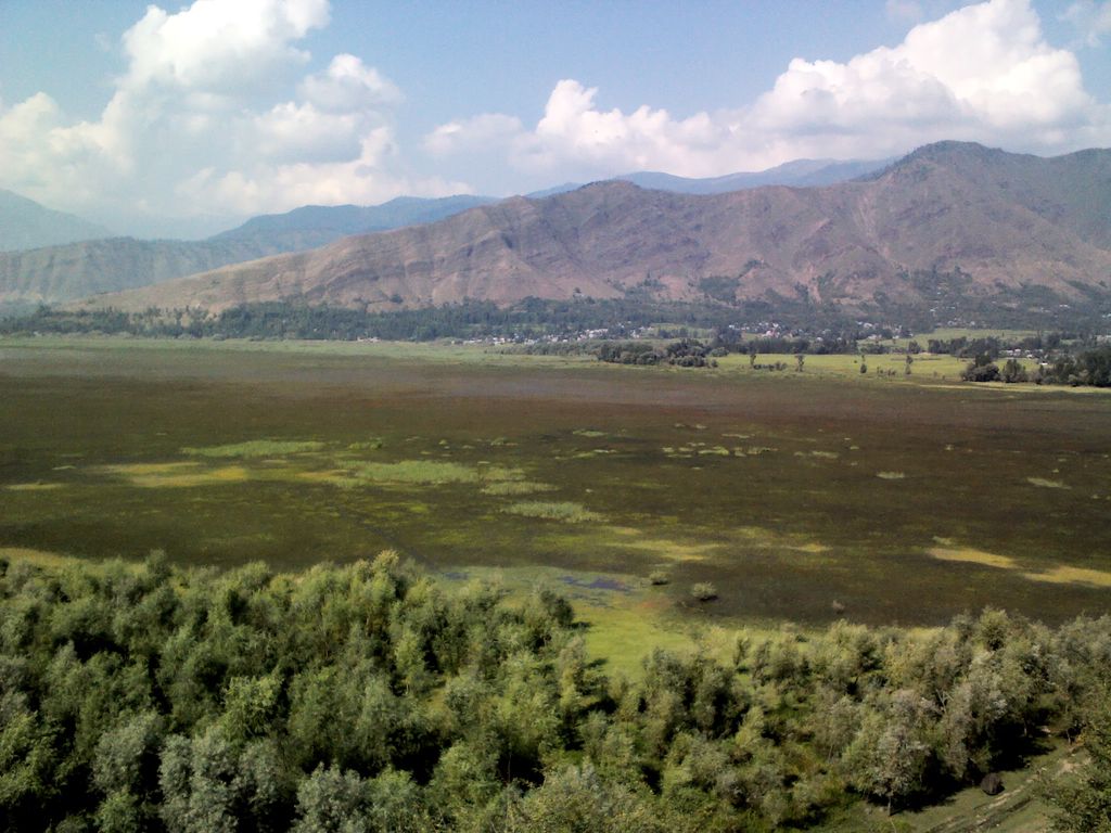
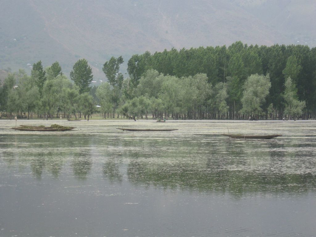
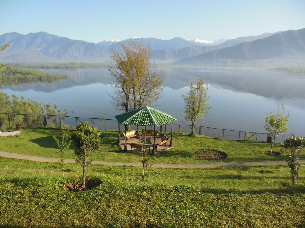
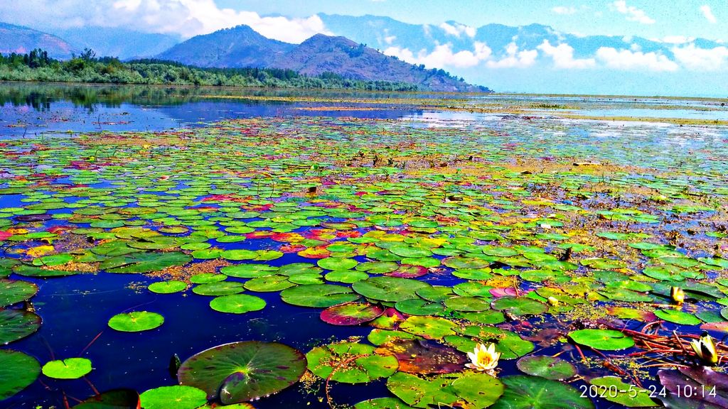
Wular Lake (Urdu pronunciation: [ʋʊləɾ]), also known as Wolar (Kashmiri pronunciation: [wɔlar]) in Kashmiri, is one of the largest fresh water lakes in South Asia. It is located near Bandipora town in the Bandipora district of Jammu and Kashmir, India. The lake basin was formed as a result of tectonic activity and is fed by the Jhelum River and stream Madhumati and Arin. The lake's size varies seasonally from 30 to 189 square kilometres. In addition, much of the lake has been drained as a result of willow plantations being built on the shore in the 1950s.
We use GPS information embedded into the photo when it is available.
3D mountains overlay
Adjust mountain panorama to perfectly match your photos because recorded by camera photo position might be imprecise.
Move tool
Rotate tool
Zoom
More customization
Choose which peak labels should make into the final photo and what photo title should be.
Next
Photo Location
Satellitte
Flat map
Relief map
Latitude
Longitude
Altitude
OR
Latitude
°'''
Longitude
°'''
Apply
Register Peak
Peak Name
Latitude
Longitude
Altitude
Register
Teleport
PeakVisor
This 3D model of Sagarmatha National Park in Nepal was made using the PeakVisor app topographic data. The mobile app features higher precision models worldwide, more topographic details, and works offline. Download PeakVisor maps today.
Download OBJ model
PeakVisor
The download should start shortly. If you find it useful please consider supporting the PeakVisor app.
PeakVisor for iOS and Android
Be a superhero of outdoor navigation with state-of-the-art 3D maps and mountain identification in the palm of your hand!