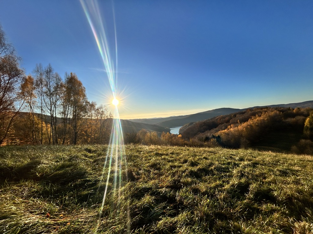
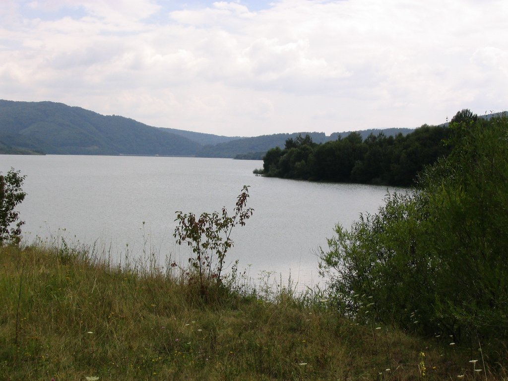
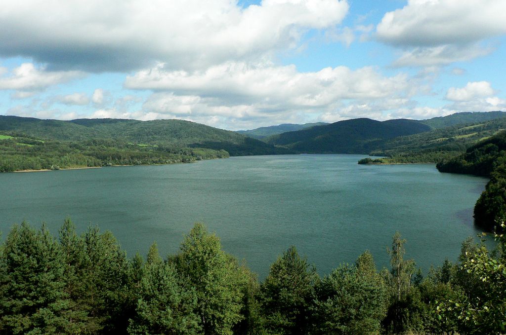
Starina reservoir is a water reservoir in eastern Slovakia, Snina District, located in the Poloniny National Park. It is the most important source of drinking water in the area, built on the headwaters of the river Cirocha. Building started in 1981. 3,463 inhabitants were evacuated from 769 dwellings from the 7 following villages (Starina, Dara, Ostrožnica, Smolník, Ruské, Veľká Poľana and Zvala). The total surface of the water reservoir Starina is 240 ha. The height of the water headbay is 50 m. This source of drinking water is very important because it supplies nearly all of East Slovakia with drinking water. There is a scenic viewpoint above the water reservoir Starina.
We use GPS information embedded into the photo when it is available.
3D mountains overlay
Adjust mountain panorama to perfectly match your photos because recorded by camera photo position might be imprecise.
Move tool
Rotate tool
Zoom
More customization
Choose which peak labels should make into the final photo and what photo title should be.
Next
Photo Location
Satellitte
Flat map
Relief map
Latitude
Longitude
Altitude
OR
Latitude
°'''
Longitude
°'''
Apply
Register Peak
Peak Name
Latitude
Longitude
Altitude
Register
Teleport
PeakVisor
This 3D model of Sagarmatha National Park in Nepal was made using the PeakVisor app topographic data. The mobile app features higher precision models worldwide, more topographic details, and works offline. Download PeakVisor maps today.
Download OBJ model
PeakVisor
The download should start shortly. If you find it useful please consider supporting the PeakVisor app.
PeakVisor for iOS and Android
Be a superhero of outdoor navigation with state-of-the-art 3D maps and mountain identification in the palm of your hand!