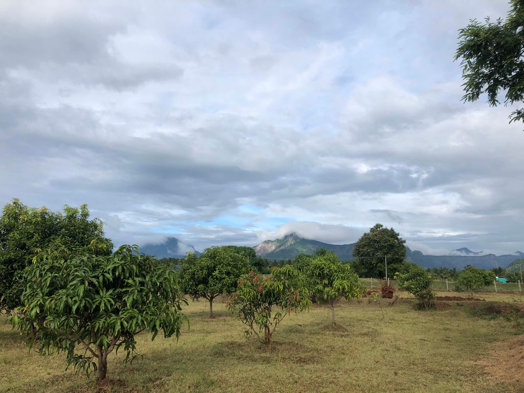
Vettaikaranpudur, situated in the Pollachi taluk of the Coimbatore district, in Tamil Nadu, India, is a panchayat town. Positioned 16 kilometres (9.9 mi) away from Pollachi, this town is surrounded by Coconut plantations at the foothills of the Anamalai hills and part of the Anamalai Tiger Reserve. In the year 2023, Vettaikaranpudur earned recognition as "The Best Tourism Village" in the Bronze category. The village is famed for Alukku Swami Siddhar Koil and hosts cultural events like Rekla races, Goat fights, and Horse races. It has consistently been a favored filming location for Kollywood movies. Vettaikaranpudur is in close proximity to notable tourist spots such as Aliyar Reservoir, Masani Amman Koil, Topslip, and Valparai. It is increasingly becoming a sought-after tourist destination in its own right with its emerging homestays and resorts, providing a respite from the chaos of India's cities. The town is divided into 18 wards, with elections held every five years. As per the 2011 Population Census, Vettaikaranpudur's total population is 17,392, comprising 8,553 men and 8,839 women. Traditionally, the local economy has thrived on agriculture, primarily driven by coconut plantations, along with cocoa, betel nuts, and nutmegs. Sugar cane and rice significant crops to the people of Vettaikaranpudur. Key water sources which provide water for the village include Parambikulam Dam, Aliyar Reservoir, and Thirumoorthy Dam. In addition to agriculture, the residents of Vettaikaranpudur have a rich history of craftsmanship. The village is renowned for traditional silk weaving, wood carving, and various handicrafts passed down through generations, forming an integral part of the village's cultural heritage. Vettaikaranpudur is also steeped in religious significance, housing ancient temples like the Sri Vettaiyapuram temple dedicated to Lord Vishnu. This temple, is considered one of the oldest in the region, draws devotees from across the area.
We use GPS information embedded into the photo when it is available.
3D mountains overlay
Adjust mountain panorama to perfectly match your photos because recorded by camera photo position might be imprecise.
Move tool
Rotate tool
Zoom
More customization
Choose which peak labels should make into the final photo and what photo title should be.
Next
Photo Location
Satellitte
Flat map
Relief map
Latitude
Longitude
Altitude
OR
Latitude
°'''
Longitude
°'''
Apply
Register Peak
Peak Name
Latitude
Longitude
Altitude
Register
Teleport
PeakVisor
This 3D model of Sagarmatha National Park in Nepal was made using the PeakVisor app topographic data. The mobile app features higher precision models worldwide, more topographic details, and works offline. Download PeakVisor maps today.
Download OBJ model
PeakVisor
The download should start shortly. If you find it useful please consider supporting the PeakVisor app.
PeakVisor for iOS and Android
Be a superhero of outdoor navigation with state-of-the-art 3D maps and mountain identification in the palm of your hand!