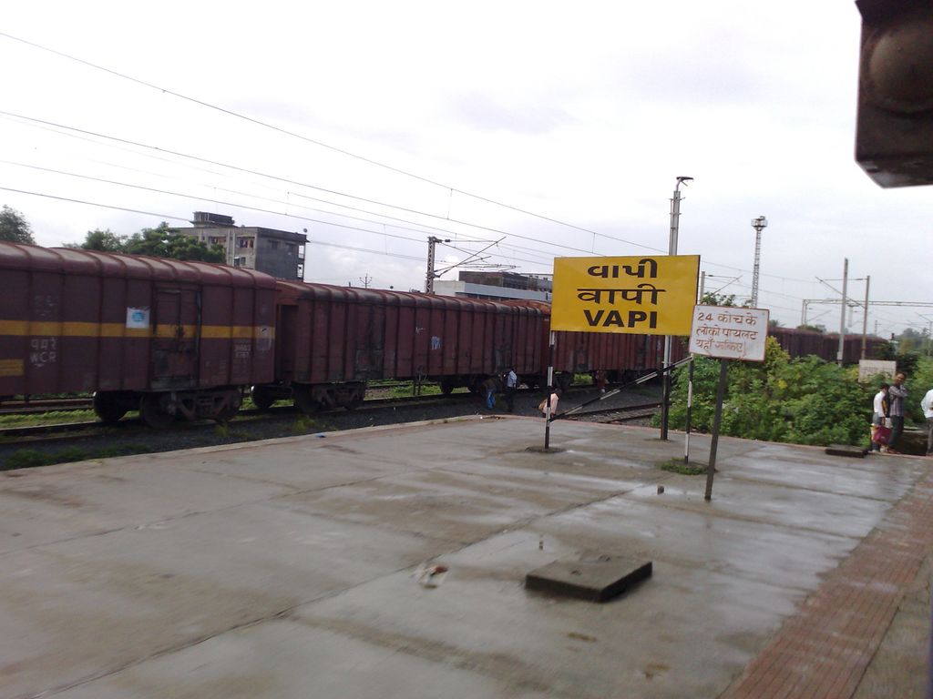
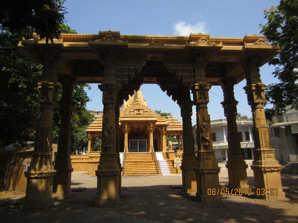
Vapi (IAST: vāpī, ), is a city and Municipal Corporation in Valsad district in the state of Gujarat, India. It is situated near the banks of the Daman Ganga River, around 28 km south of the district headquarters in the city of Valsad, and it is surrounded by the Union Territory of Dadra and Nagar Haveli and Daman and Diu. It is believed that the city got its name from the old small stepwell situated near the Balitha area. The meaning of vapi (वापी) in sanskrit is a water reservoir or a water storage body. The town originally belonged to the Kshatriya Jagirdar family Palande during The Great Maratha Empire. After independence from the British Crown, the Jagirdar system was abolished by the Indian government in 1951 and the community of Anavil Brahmin who formerly acted as tax farmers during the era of the Maratha Empire received the land. Vapi is one of the largest industrial areas in Gujarat in terms of small-scale industries, dominated by the chemical industry.
We use GPS information embedded into the photo when it is available.
3D mountains overlay
Adjust mountain panorama to perfectly match your photos because recorded by camera photo position might be imprecise.
Move tool
Rotate tool
Zoom
More customization
Choose which peak labels should make into the final photo and what photo title should be.
Next
Photo Location
Satellitte
Flat map
Relief map
Latitude
Longitude
Altitude
OR
Latitude
°'''
Longitude
°'''
Apply
Register Peak
Peak Name
Latitude
Longitude
Altitude
Register
Teleport
PeakVisor
This 3D model of Sagarmatha National Park in Nepal was made using the PeakVisor app topographic data. The mobile app features higher precision models worldwide, more topographic details, and works offline. Download PeakVisor maps today.
Download OBJ model
PeakVisor
The download should start shortly. If you find it useful please consider supporting the PeakVisor app.
PeakVisor for iOS and Android
Be a superhero of outdoor navigation with state-of-the-art 3D maps and mountain identification in the palm of your hand!