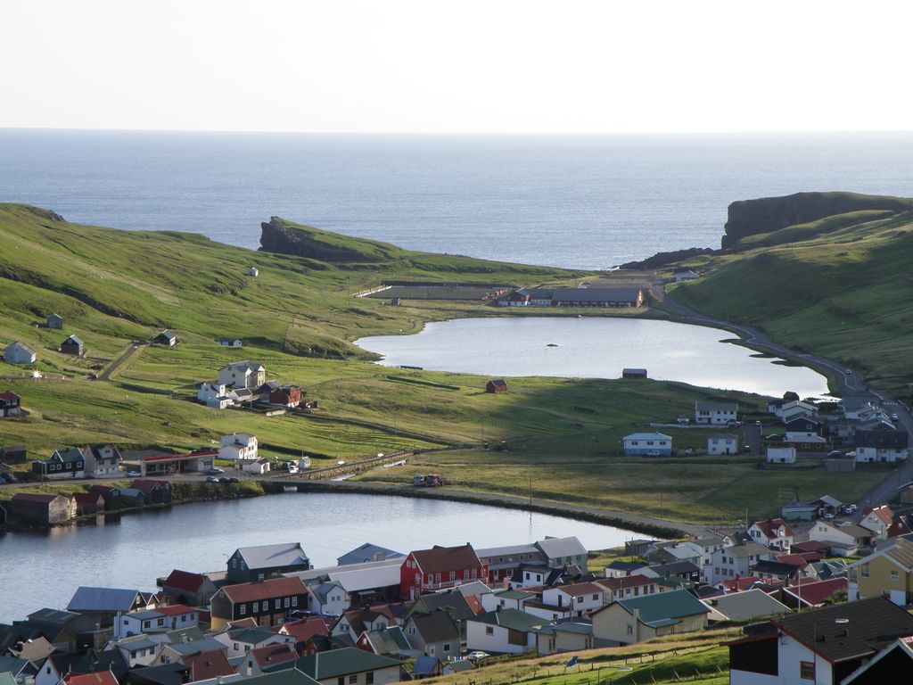
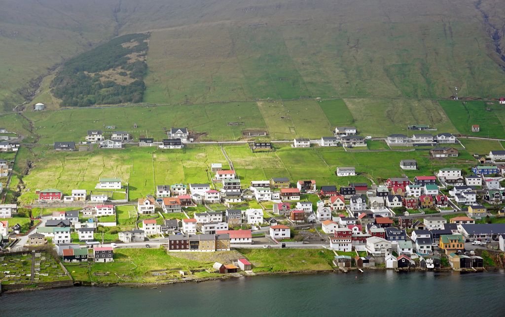
Vágur, meaning bay (Danish: Våg), is a town and municipality on the island of Suðuroy, part of the Faroe Islands. It is situated on the east coast of the island on the Vágsfjørður fjord, and was founded in the fourteenth century. Expansion has meant that the nearby town of Nes is now a suburb of Vágur. Vágur has a sports hall next to the football grounds on Eiðinum, near Vágseiði, a swimming pool by the school and a clinic which offers the services of doctors, nurses and dentists. There is also a hotel, one bank and various shops. The port area, which is 14 m in depth, is situated on the northern part of the fjord. The port authorities can offer services of piloting (lods), water and fire-fighting, and in connection with the harbour there is a modern fish factory and auctioneers for fish. Salmon farming is also a part of the fish industry in Vágur, this includes salmon farm rings on the fjord and in other places near the east coast of Suðuroy and a salmon factory. The town has a slipway, a fleet of fishing vessels and a filleting factory.
Show more
Sun and Moon
Mon
Tue
Wed
Thu
Fri
Sat
Sun
May 2022
Date and time
00:00
06:00
12:00
18:00
Today
--
--
Sunrise
--
Sunset
--
Moonrise
--
Moonset
Phase
🌔 Waxing Gibbous
The perfect light time for beautiful photos:
--
Sunrise
--
Sunset
PeakVisor app
Get the app on your smartphone
New Panorama Tools
Trace location on the map
Measure distances
All the instruments are available in the context menu as well.
We use GPS information embedded into the photo when it is available.
3D mountains overlay
Adjust mountain panorama to perfectly match your photos because recorded by camera photo position might be imprecise.
Move tool
Rotate tool
Zoom
More customization
Choose which peak labels should make into the final photo and what photo title should be.
Next
Photo Location
Satellitte
Flat map
Relief map
Latitude
Longitude
Altitude
OR
Latitude
°'''
Longitude
°'''
Apply
Register Peak
Peak Name
Latitude
Longitude
Altitude
Register
Teleport
PeakVisor
This 3D model of Sagarmatha National Park in Nepal was made using the PeakVisor app topographic data. The mobile app features higher precision models worldwide, more topographic details, and works offline. Download PeakVisor maps today.
Download OBJ model
PeakVisor
The download should start shortly. If you find it useful please consider supporting the PeakVisor app.
PeakVisor for iOS and Android
Be a superhero of outdoor navigation with state-of-the-art 3D maps and mountain identification in the palm of your hand!