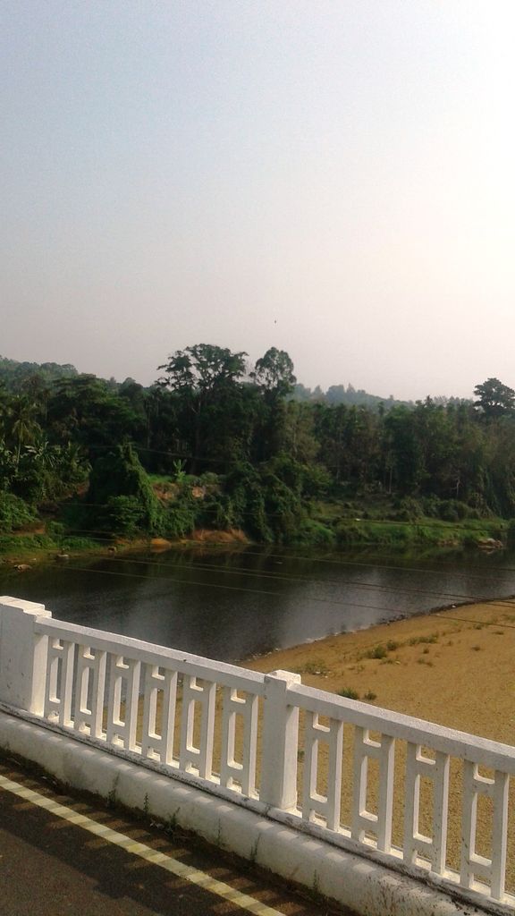
Uppinangady or Ubar is a town in the Puttur talk of Dakshina Kannada district in the state of Karnataka, India. It is surrounded by the Kumaradhara River on one side and Nethravathi River on the other. When the town's two surrounding rivers rise during the rainy season and meet, this is called the "Sangam" which is a Sanskrit word for confluence. The Sangam is a major event as people from the surrounding villages crowd the river banks to witness the merge. The population of Uppinangady is 7,172. In 1923 the town of Uppinangady was washed out due to excessive flooding, and its courts were moved to Puttur. Severe flooding also occurred in 1974. Uppinangady was previously the Taluk Headquarters, but due to the issue of heavy flooding during the monsoon, the taluk centre was moved to Puttur. Uppinangady is the 2nd largest urban area in Puttur Taluk. The town of Uppinangady is situated at an altitude of 53 meters. Uppinangady is also known as "Dakshina Kashi". It is believed that there is also a sangam of a third river along with the other two rivers which is known as Guptagamini. It is famous for the Sahasralingeshwara Temple
We use GPS information embedded into the photo when it is available.
3D mountains overlay
Adjust mountain panorama to perfectly match your photos because recorded by camera photo position might be imprecise.
Move tool
Rotate tool
Zoom
More customization
Choose which peak labels should make into the final photo and what photo title should be.
Next
Photo Location
Satellitte
Flat map
Relief map
Latitude
Longitude
Altitude
OR
Latitude
°'''
Longitude
°'''
Apply
Register Peak
Peak Name
Latitude
Longitude
Altitude
Register
Teleport
PeakVisor
This 3D model of Sagarmatha National Park in Nepal was made using the PeakVisor app topographic data. The mobile app features higher precision models worldwide, more topographic details, and works offline. Download PeakVisor maps today.
Download OBJ model
PeakVisor
The download should start shortly. If you find it useful please consider supporting the PeakVisor app.
PeakVisor for iOS and Android
Be a superhero of outdoor navigation with state-of-the-art 3D maps and mountain identification in the palm of your hand!