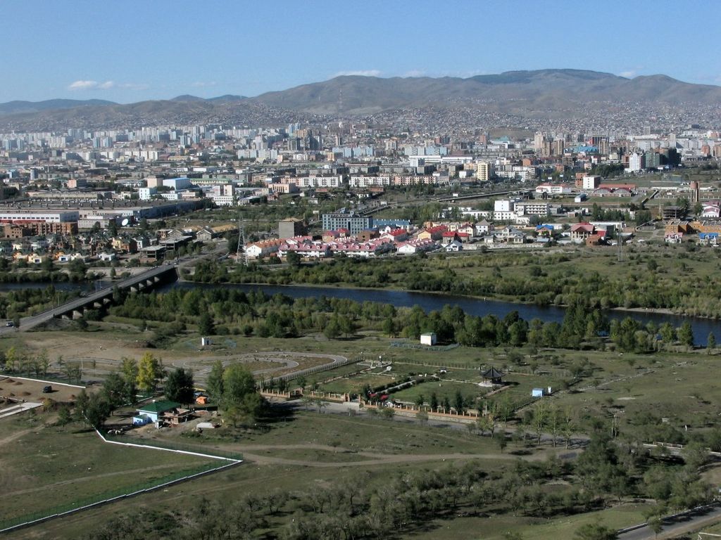
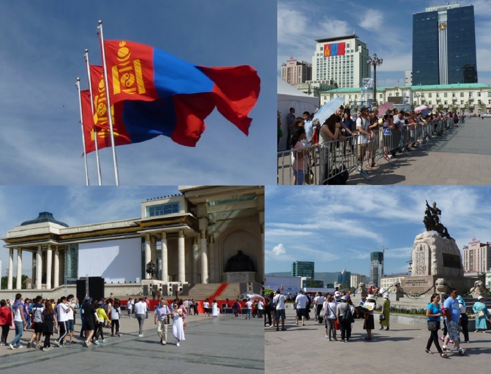
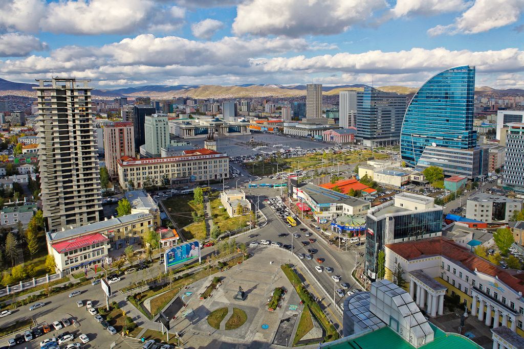
Ulaanbaatar (; Mongolian: Улаанбаатар, pronounced [ʊˌɮaːn‿ˈbaːʰtə̆r] , lit. "Red Hero"), previously anglicized as Ulan Bator, is the capital and most populous city of Mongolia. With a population of 1.6 million, it is the coldest capital city in the world by average yearly temperature. The municipality is located in north central Mongolia at an elevation of about 1,300 metres (4,300 ft) in a valley on the Tuul River. The city was founded in 1639 as a nomadic Buddhist monastic centre, changing location 28 times, and was permanently settled at its modern location in 1778. During its early years, as Örgöö (anglicized as Urga), it became Mongolia's preeminent religious centre and seat of the Jebtsundamba Khutuktu, the spiritual head of the Gelug lineage of Tibetan Buddhism in Mongolia. Following the regulation of Qing-Russian trade by the Treaty of Kyakhta in 1727, a caravan route between Beijing and Kyakhta opened up, along which the city was eventually settled. With the collapse of the Qing dynasty in 1911, the city was a focal point for independence efforts, leading to the proclamation of the Bogd Khanate in 1911 led by the 8th Jebtsundamba Khutuktu, or Bogd Khan, and again during the communist revolution of 1921. With the proclamation of the Mongolian People's Republic in 1924, the city was officially renamed Ulaanbaatar and declared the country's capital. Modern urban planning began in the 1950s, with most of the old ger districts replaced by Soviet-style flats. In 1990, Ulaanbaatar was the site of large demonstrations that led to Mongolia's transition to democracy and a market economy. Since 1990, an influx of migrants from the rest of the country has led to an explosive growth in its population, a major portion of whom live in ger districts, which has led to harmful air pollution in winter. Governed as an independent municipality, Ulaanbaatar is surrounded by Töv Province, whose capital Zuunmod lies 43 kilometres (27 mi) south of the city. With a population of just over 1.6 million as of December 2022, it contains almost half of the country's total population. As the country's primate city, it serves as its cultural, industrial and financial heart and the center of its transport network.
Show more
Sun and Moon
Mon
Tue
Wed
Thu
Fri
Sat
Sun
May 2022
Date and time
00:00
06:00
12:00
18:00
Today
--
--
Sunrise
--
Sunset
--
Moonrise
--
Moonset
Phase
🌔 Waxing Gibbous
The perfect light time for beautiful photos:
--
Sunrise
--
Sunset
PeakVisor app
Get the app on your smartphone
New Panorama Tools
Trace location on the map
Measure distances
All the instruments are available in the context menu as well.
We use GPS information embedded into the photo when it is available.
3D mountains overlay
Adjust mountain panorama to perfectly match your photos because recorded by camera photo position might be imprecise.
Move tool
Rotate tool
Zoom
More customization
Choose which peak labels should make into the final photo and what photo title should be.
Next
Photo Location
Satellitte
Flat map
Relief map
Latitude
Longitude
Altitude
OR
Latitude
°'''
Longitude
°'''
Apply
Register Peak
Peak Name
Latitude
Longitude
Altitude
Register
Teleport
PeakVisor
This 3D model of Sagarmatha National Park in Nepal was made using the PeakVisor app topographic data. The mobile app features higher precision models worldwide, more topographic details, and works offline. Download PeakVisor maps today.
Download OBJ model
PeakVisor
The download should start shortly. If you find it useful please consider supporting the PeakVisor app.
PeakVisor for iOS and Android
Be a superhero of outdoor navigation with state-of-the-art 3D maps and mountain identification in the palm of your hand!