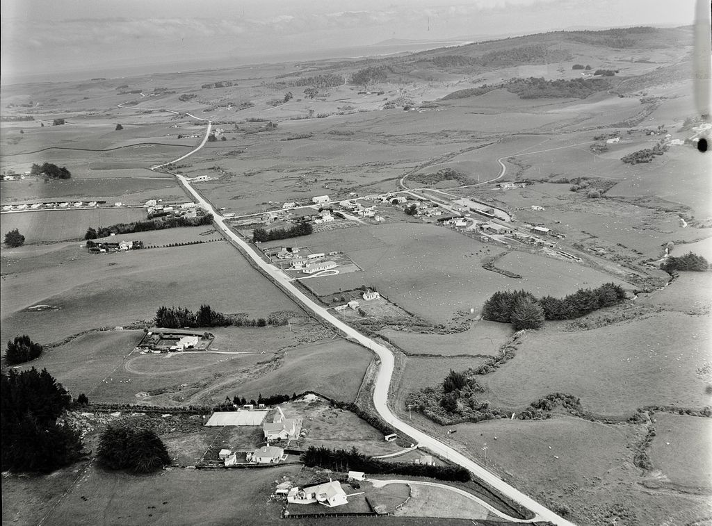
Tokanui is a community in the eastern portion of Southland District Council, located on the Southern Scenic Route about 56 km (35 mi) east of Invercargill and 107 km (66 mi) southwest of Balclutha, New Zealand. The Tokanui River runs just to the north of the village and occasionally floods the lower parts, as it did when the railway yard flooded in 1935. Tokanui has a fire station, public halls, school, store, garage, pub, recycling area and a Rugby Club. A mobile library visits once a month.
We use GPS information embedded into the photo when it is available.
3D mountains overlay
Adjust mountain panorama to perfectly match your photos because recorded by camera photo position might be imprecise.
Move tool
Rotate tool
Zoom
More customization
Choose which peak labels should make into the final photo and what photo title should be.
Next
Photo Location
Satellitte
Flat map
Relief map
Latitude
Longitude
Altitude
OR
Latitude
°'''
Longitude
°'''
Apply
Register Peak
Peak Name
Latitude
Longitude
Altitude
Register
Teleport
PeakVisor
This 3D model of Sagarmatha National Park in Nepal was made using the PeakVisor app topographic data. The mobile app features higher precision models worldwide, more topographic details, and works offline. Download PeakVisor maps today.
Download OBJ model
PeakVisor
The download should start shortly. If you find it useful please consider supporting the PeakVisor app.
PeakVisor for iOS and Android
Be a superhero of outdoor navigation with state-of-the-art 3D maps and mountain identification in the palm of your hand!