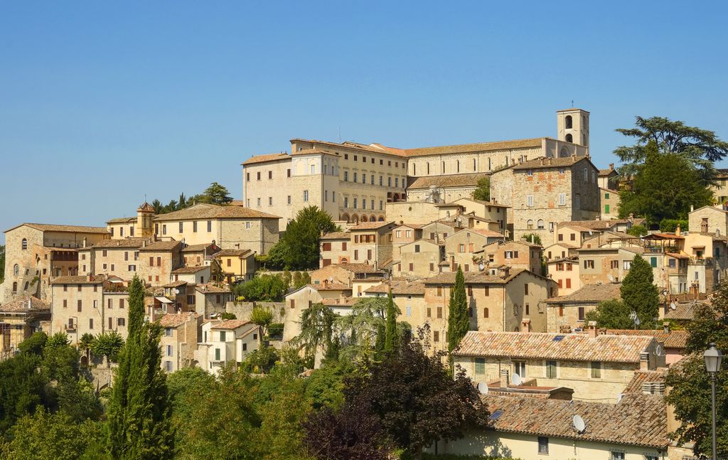
Todi (Italian pronunciation: [ˈtɔːdi]; Tuder in antiquity) is a town and comune (municipality) of the province of Perugia (region of Umbria) in central Italy. It is perched on a tall two-crested hill overlooking the east bank of the river Tiber, commanding distant views in every direction. It was founded in antiquity by the Umbri, at the border with Etruria; the gens Ulpia of Roman emperor Trajan came from Todi. In the 1990s, Richard S. Levine, a professor of Architecture at the University of Kentucky, included Todi in academic design exercises aimed at conceiving hypothetical improvements to the city and presented its results in a conference titled "The Sustainable City of the Past and the Sustainable City of the Future". As a result, the Italian press incorrectly reported on Todi as the world's most livable city.
We use GPS information embedded into the photo when it is available.
3D mountains overlay
Adjust mountain panorama to perfectly match your photos because recorded by camera photo position might be imprecise.
Move tool
Rotate tool
Zoom
More customization
Choose which peak labels should make into the final photo and what photo title should be.
Next
Photo Location
Satellitte
Flat map
Relief map
Latitude
Longitude
Altitude
OR
Latitude
°'''
Longitude
°'''
Apply
Register Peak
Peak Name
Latitude
Longitude
Altitude
Register
Teleport
PeakVisor
This 3D model of Sagarmatha National Park in Nepal was made using the PeakVisor app topographic data. The mobile app features higher precision models worldwide, more topographic details, and works offline. Download PeakVisor maps today.
Download OBJ model
PeakVisor
The download should start shortly. If you find it useful please consider supporting the PeakVisor app.
PeakVisor for iOS and Android
Be a superhero of outdoor navigation with state-of-the-art 3D maps and mountain identification in the palm of your hand!