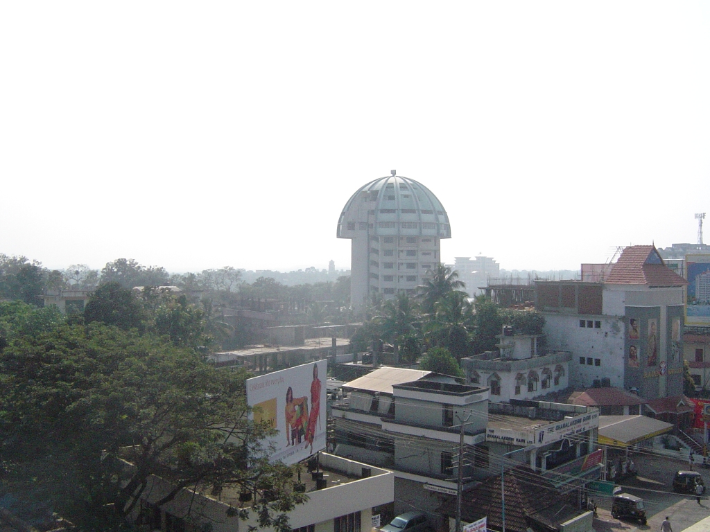
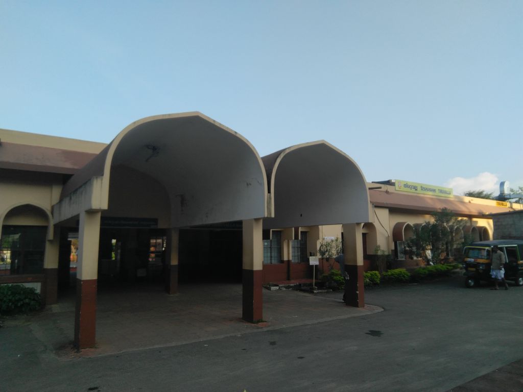
Thiruvalla, (Malayalam: [t̪iɾuʋɐlːɐ]) also spelled Tiruvalla, is a municipality in Pathanamthitta district, Kerala, India. It is also the headquarters of the Thiruvalla taluk. The town is spread over an area of 27.15 km2 (10.48 sq mi) and has a population of 52,883, down from 56,837 in 2001. It lies on the northern banks of the Manimala River, in a land-locked region surrounded by irrigating canals and rivers. It is the largest town in the district, and is one of the financial, educational,healthcare, cultural, and commercial centres of central Travancore. Thiruvalla is also known as the "Town of Non-Resident Indians", as a large portion of its inhabitants form a part of the Malayali diaspora. Thiruvalla is also branded as "Aarogya Nagari", primarily due to its well-developed healthcare infrastructure and the presence of several prominent hospitals and medical institutions. Though Thiruvalla struggles with an aging and declining population and experiences a high emigration rate, in recent years the town has experienced growth in its economy and urban revitalisation.
We use GPS information embedded into the photo when it is available.
3D mountains overlay
Adjust mountain panorama to perfectly match your photos because recorded by camera photo position might be imprecise.
Move tool
Rotate tool
Zoom
More customization
Choose which peak labels should make into the final photo and what photo title should be.
Next
Photo Location
Satellitte
Flat map
Relief map
Latitude
Longitude
Altitude
OR
Latitude
°'''
Longitude
°'''
Apply
Register Peak
Peak Name
Latitude
Longitude
Altitude
Register
Teleport
PeakVisor
This 3D model of Sagarmatha National Park in Nepal was made using the PeakVisor app topographic data. The mobile app features higher precision models worldwide, more topographic details, and works offline. Download PeakVisor maps today.
Download OBJ model
PeakVisor
The download should start shortly. If you find it useful please consider supporting the PeakVisor app.
PeakVisor for iOS and Android
Be a superhero of outdoor navigation with state-of-the-art 3D maps and mountain identification in the palm of your hand!