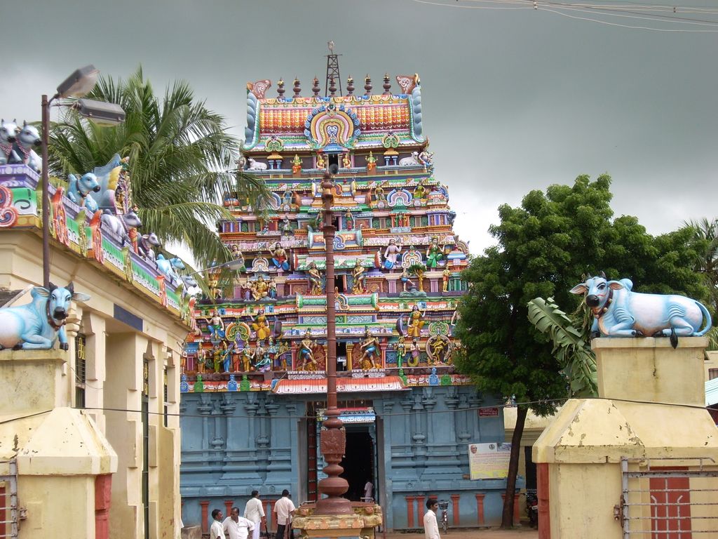
Thiruthuraipoondi is a municipality in Tiruvarur district in the Indian state of Tamil Nadu. Thiruthuraipoondi is an agricultural town located south of Thiruvarur district. The town is located at a distance of 28 km (17 mi) from the district headquarters Thiruvarur. Tirutturaipundi is a taluk in Tanjore District (Madras Presidency), after independence, it was a part of Thanjavur district till 1991. It subsequently became a part of the newly formed Tiruvarur district on January 1, 1997. The Mulli river passes through the town. It is 1,260 square kilometres (490 sq mi) and includes more than 25 villages. Most of the people work in agriculture. Thiruthuraipoondi is 330 km (210 mi) south of Chennai, 30 km (19 mi) East of Mannargudi and 30 km (19 mi) South of Thiruvarur. As of 2011, the town had a population of 24,404.
We use GPS information embedded into the photo when it is available.
3D mountains overlay
Adjust mountain panorama to perfectly match your photos because recorded by camera photo position might be imprecise.
Move tool
Rotate tool
Zoom
More customization
Choose which peak labels should make into the final photo and what photo title should be.
Next
Photo Location
Satellitte
Flat map
Relief map
Latitude
Longitude
Altitude
OR
Latitude
°'''
Longitude
°'''
Apply
Register Peak
Peak Name
Latitude
Longitude
Altitude
Register
Teleport
PeakVisor
This 3D model of Sagarmatha National Park in Nepal was made using the PeakVisor app topographic data. The mobile app features higher precision models worldwide, more topographic details, and works offline. Download PeakVisor maps today.
Download OBJ model
PeakVisor
The download should start shortly. If you find it useful please consider supporting the PeakVisor app.
PeakVisor for iOS and Android
Be a superhero of outdoor navigation with state-of-the-art 3D maps and mountain identification in the palm of your hand!