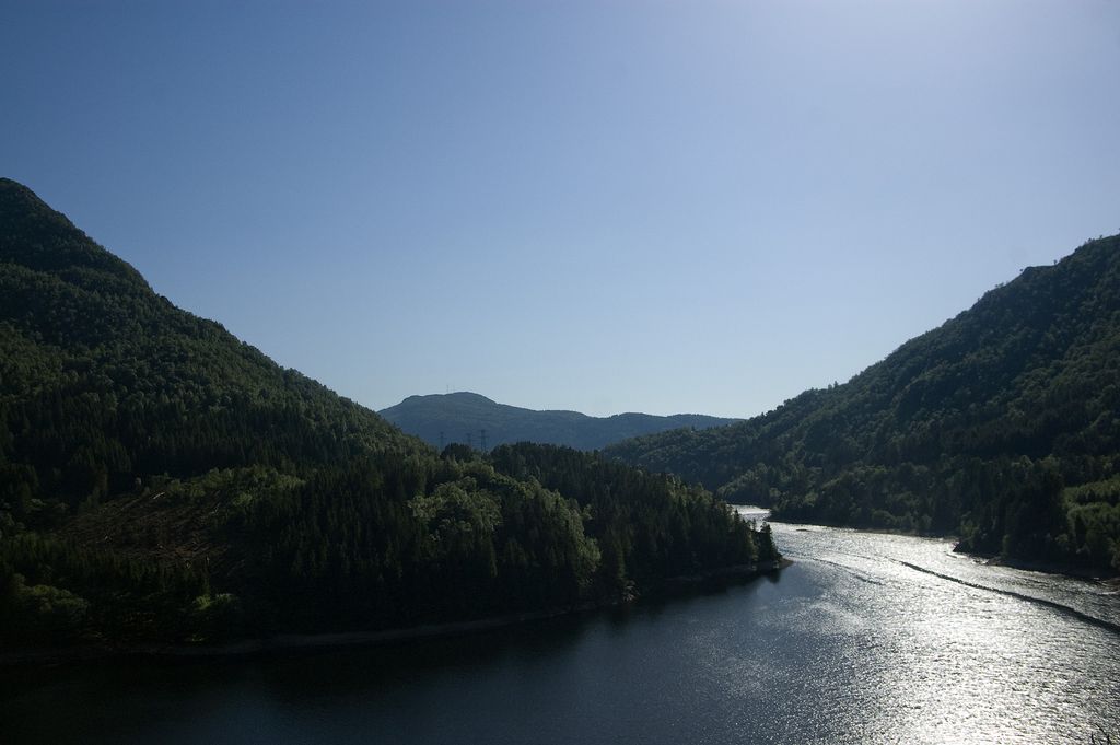
Svartediket is a lake in the city of Bergen in Vestland county, Norway. The 0.5-square-kilometre (0.19 sq mi) lake lies immediately north of the mountain Ulriken, northeast of the Store Lungegårdsvannet bay. Historically, this lake was called Ålrekstadsvannet, but in the late 19th century, a dam was built on the south end of the lake to create a reservoir for the city's drinking water. The lake is the main source of drinking water for the central parts of the city of Bergen. There is a pumping station and treatment facility build adjacent to the lake inside the mountain Ulriken. Drinking water is collected at a 28-metre (92 ft) depth in Svartediket. Inside the water treatment plant, the water is filtered and irradiated with UV light to kill harmful microorganisms. After treatment, the clean drinking water is stored in a 15,000-cubic-metre (530,000 cu ft) large water pool inside the mountain. This is the water that is pumped down to the city center for drinking water. In 2004, Bergen was hit by a Giardia lamblia epidemic which had its source in the lake Svartediket. The water treatment facility was upgraded in 2007.
We use GPS information embedded into the photo when it is available.
3D mountains overlay
Adjust mountain panorama to perfectly match your photos because recorded by camera photo position might be imprecise.
Move tool
Rotate tool
Zoom
More customization
Choose which peak labels should make into the final photo and what photo title should be.
Next
Photo Location
Satellitte
Flat map
Relief map
Latitude
Longitude
Altitude
OR
Latitude
°'''
Longitude
°'''
Apply
Register Peak
Peak Name
Latitude
Longitude
Altitude
Register
Teleport
PeakVisor
This 3D model of Sagarmatha National Park in Nepal was made using the PeakVisor app topographic data. The mobile app features higher precision models worldwide, more topographic details, and works offline. Download PeakVisor maps today.
Download OBJ model
PeakVisor
The download should start shortly. If you find it useful please consider supporting the PeakVisor app.
PeakVisor for iOS and Android
Be a superhero of outdoor navigation with state-of-the-art 3D maps and mountain identification in the palm of your hand!