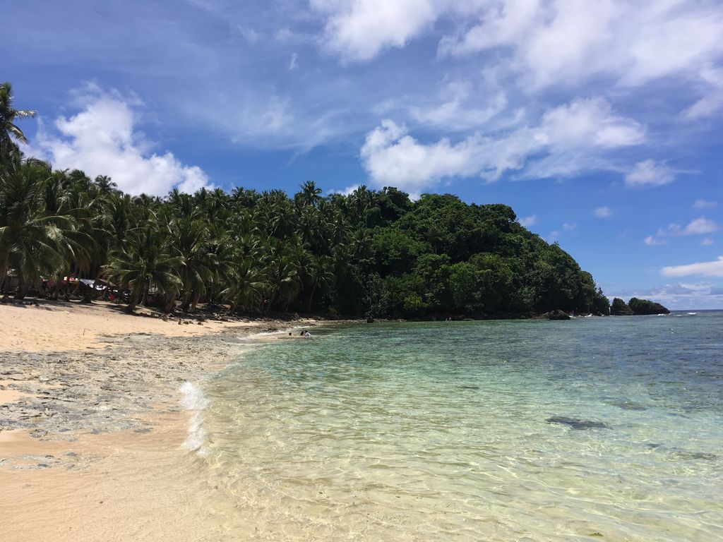
Siargao is a tear-drop shaped island in the Philippine Sea situated 196 kilometers southeast of Tacloban. It has a land area of approximately 437 square kilometres (169 sq mi). The east coast is relatively straight with one deep inlet, Port Pilar. The coastline is marked by a succession of reefs, small points and white, sandy beaches. The neighboring islands and islets have similar landforms. Siargao is known as the surfing capital of the Philippines, and was voted the Best Island in Asia in the 2021 Conde Nast Travelers Readers awards. The island is within the jurisdiction of the province of Surigao del Norte and is composed of 9 municipalities of Burgos, Dapa, Del Carmen, General Luna, San Benito, Pilar, San Isidro, Santa Monica and Socorro. Siargao is a famous tourist destination, well-known for its many surfing spots and featured in the film Siargao for such qualities. Surfing is so ingrained in the identity of Siargao, that in 2022, two political families from Surigao Del Norte traded barbs over the cancellation of a national surfing competition hosted on the island.
We use GPS information embedded into the photo when it is available.
3D mountains overlay
Adjust mountain panorama to perfectly match your photos because recorded by camera photo position might be imprecise.
Move tool
Rotate tool
Zoom
More customization
Choose which peak labels should make into the final photo and what photo title should be.
Next
Photo Location
Satellitte
Flat map
Relief map
Latitude
Longitude
Altitude
OR
Latitude
°'''
Longitude
°'''
Apply
Register Peak
Peak Name
Latitude
Longitude
Altitude
Register
Teleport
PeakVisor
This 3D model of Sagarmatha National Park in Nepal was made using the PeakVisor app topographic data. The mobile app features higher precision models worldwide, more topographic details, and works offline. Download PeakVisor maps today.
Download OBJ model
PeakVisor
The download should start shortly. If you find it useful please consider supporting the PeakVisor app.
PeakVisor for iOS and Android
Be a superhero of outdoor navigation with state-of-the-art 3D maps and mountain identification in the palm of your hand!