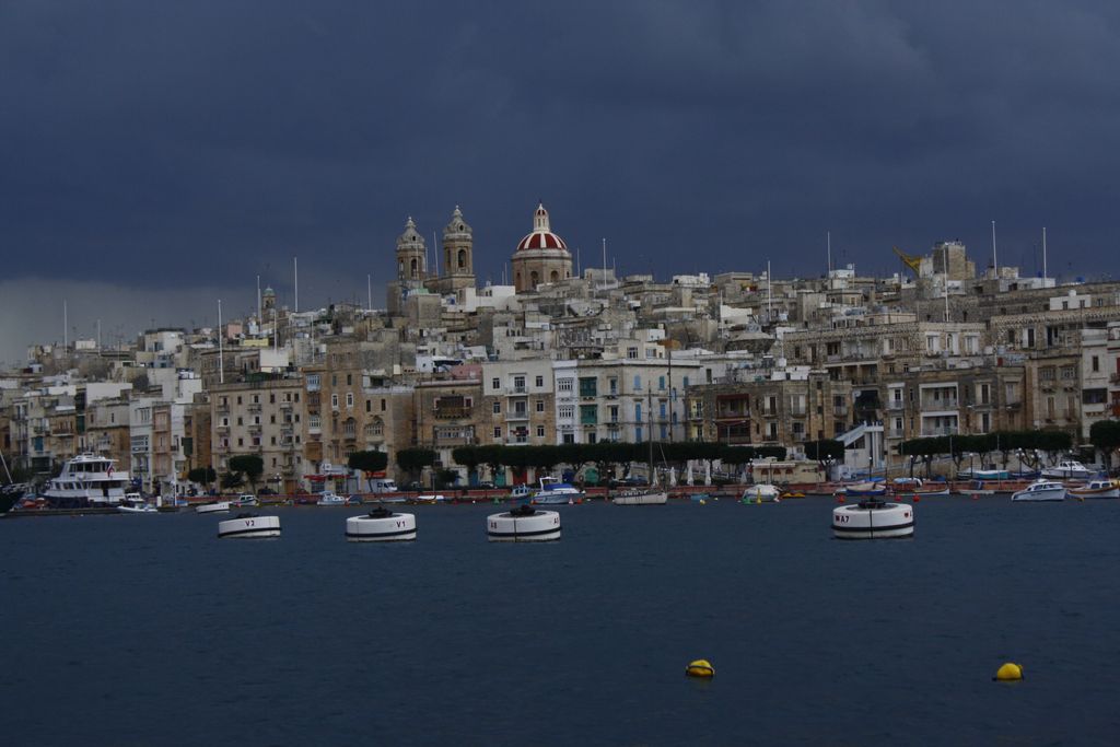
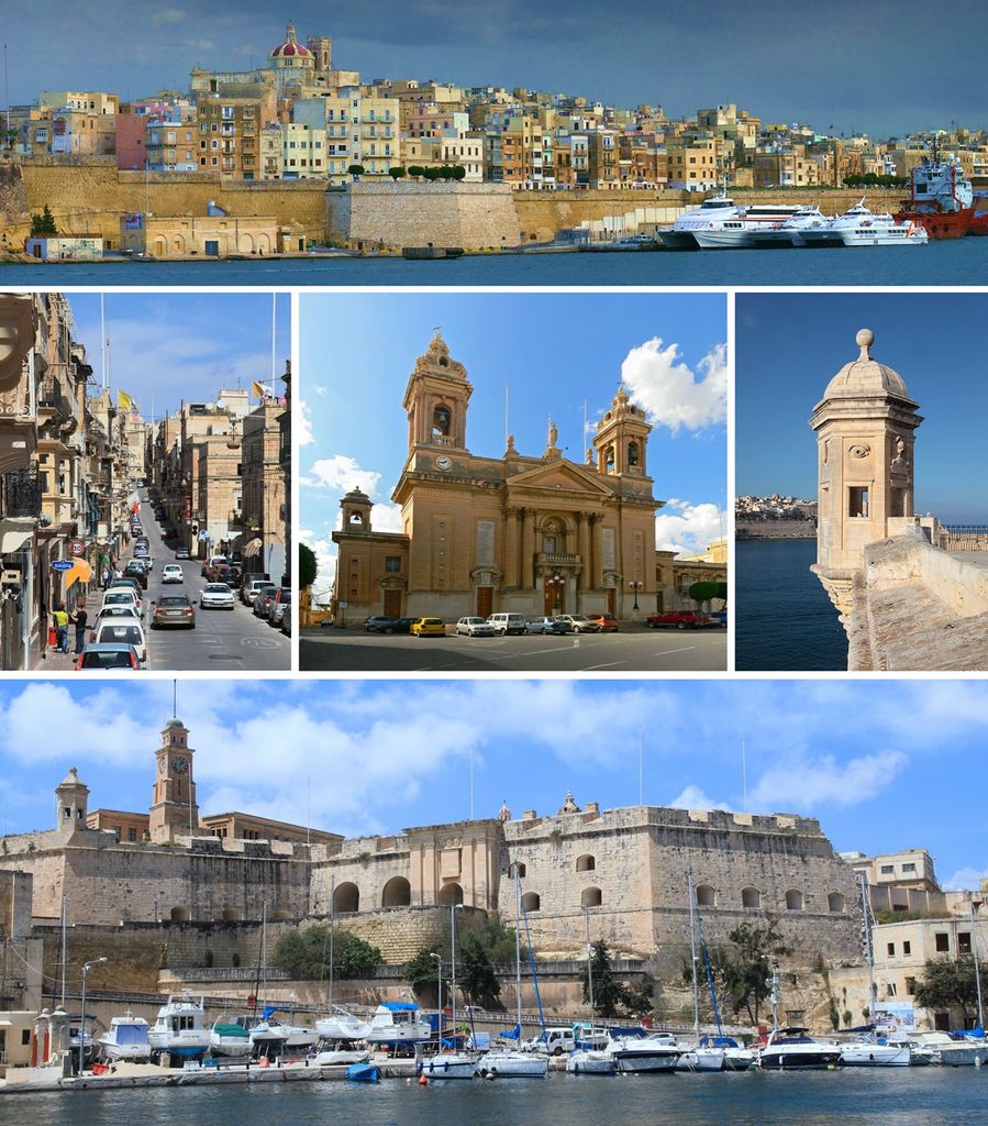
Senglea (Maltese: L-Isla [ˈlɪslɐ]), also known by its title Città Invicta (or Civitas Invicta), is a fortified city in the South Eastern Region of Malta. It is one of the Three Cities in the Grand Harbour area, the other two being Cospicua and Vittoriosa, and has a population of approximately 2,720 people. The city's title Città Invicta was given because it managed to resist the Ottoman invasion at the Great Siege of Malta in 1565. The name Senglea comes from the Grand Master who built it Claude de la Sengle and gave the city a part of his name. While Senglea is the 52nd most populated locality on the island, due to its incredibly small land area, it is the 2nd most densely populated locality after Sliema. In Senglea, locals speak the Cottonera dialect. Senglea was part of a town named Birmula. When the order of St John came to Malta they planned to build 3 cities from this land. It started from Senglea, then Vittoriosa and Cospicua. The rest of the land was named Cottonera and it was surrounded with the Cottonera lines.
Show more
Sun and Moon
Mon
Tue
Wed
Thu
Fri
Sat
Sun
May 2022
Date and time
00:00
06:00
12:00
18:00
Today
--
--
Sunrise
--
Sunset
--
Moonrise
--
Moonset
Phase
🌔 Waxing Gibbous
The perfect light time for beautiful photos:
--
Sunrise
--
Sunset
PeakVisor app
Get the app on your smartphone
New Panorama Tools
Trace location on the map
Measure distances
All the instruments are available in the context menu as well.
We use GPS information embedded into the photo when it is available.
3D mountains overlay
Adjust mountain panorama to perfectly match your photos because recorded by camera photo position might be imprecise.
Move tool
Rotate tool
Zoom
More customization
Choose which peak labels should make into the final photo and what photo title should be.
Next
Photo Location
Satellitte
Flat map
Relief map
Latitude
Longitude
Altitude
OR
Latitude
°'''
Longitude
°'''
Apply
Register Peak
Peak Name
Latitude
Longitude
Altitude
Register
Teleport
PeakVisor
This 3D model of Sagarmatha National Park in Nepal was made using the PeakVisor app topographic data. The mobile app features higher precision models worldwide, more topographic details, and works offline. Download PeakVisor maps today.
Download OBJ model
PeakVisor
The download should start shortly. If you find it useful please consider supporting the PeakVisor app.
PeakVisor for iOS and Android
Be a superhero of outdoor navigation with state-of-the-art 3D maps and mountain identification in the palm of your hand!


.jpg)


