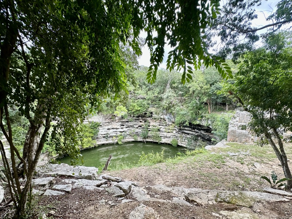
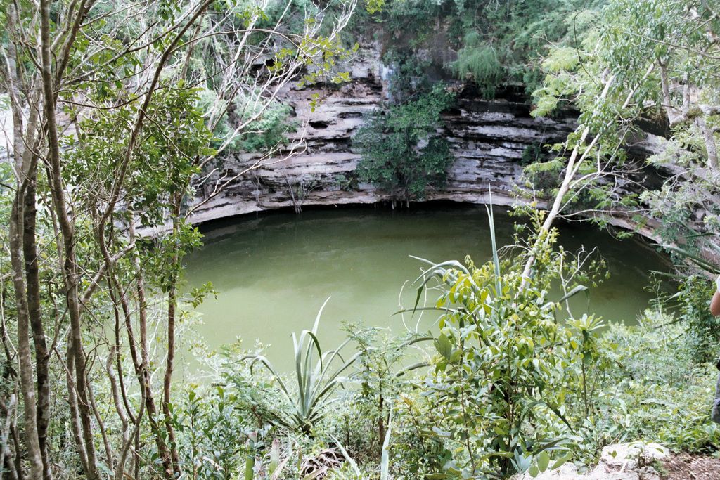
The Sacred Cenote (Spanish: cenote sagrado, Latin American Spanish: [ˌsenote saˈɣɾaðo], "sacred well"; alternatively known as the "Well of Sacrifice") is a water-filled sinkhole in limestone at the pre-Columbian Maya archaeological site of Chichen Itza, in the northern Yucatán Peninsula. It is located to the north of Chichen Itza's civic precinct, to which it is connected by a 300-metre (980 ft) sacbe, a raised pathway. According to both Maya and Spanish post-Conquest sources, pre-Columbian Maya deposited valuables and human bodies into the cenote as a form of sacrifice to the rain god Chaac. Edward Herbert Thompson dredged the Cenote Sagrado from 1904 to 1910, and recovered artifacts of gold, jade, pottery, and incense, as well as human remains. Beginning in the 1950s several Mexican-driven projects were conducted in the cenote, including a 1961 project that used an airlift dredge.
We use GPS information embedded into the photo when it is available.
3D mountains overlay
Adjust mountain panorama to perfectly match your photos because recorded by camera photo position might be imprecise.
Move tool
Rotate tool
Zoom
More customization
Choose which peak labels should make into the final photo and what photo title should be.
Next
Photo Location
Satellitte
Flat map
Relief map
Latitude
Longitude
Altitude
OR
Latitude
°'''
Longitude
°'''
Apply
Register Peak
Peak Name
Latitude
Longitude
Altitude
Register
Teleport
PeakVisor
This 3D model of Sagarmatha National Park in Nepal was made using the PeakVisor app topographic data. The mobile app features higher precision models worldwide, more topographic details, and works offline. Download PeakVisor maps today.
Download OBJ model
PeakVisor
The download should start shortly. If you find it useful please consider supporting the PeakVisor app.
PeakVisor for iOS and Android
Be a superhero of outdoor navigation with state-of-the-art 3D maps and mountain identification in the palm of your hand!