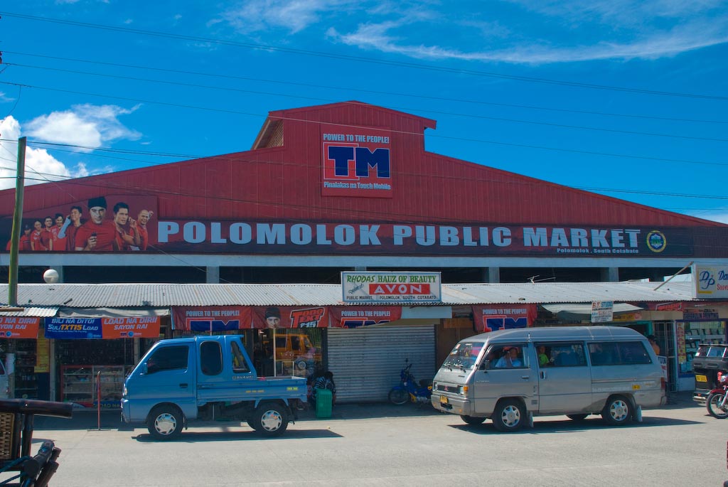
Polomolok, officially the Municipality of Polomolok (Hiligaynon: Banwa sang Polomolok; Cebuano: Lungsod sa Polomolok; Tagalog: Bayan ng Polomolok; Maguindanaon: Inged nu Pulumuluk, Jawi: ايڠد نو ڤولومولوک), is a 1st class municipality in the province of South Cotabato, Philippines. As of May 2020, it has a population of 172,605 people making it the most populated municipality in Mindanao. It is located between General Santos and Tupi. Polomolok is seated about 41 kilometres (25 mi) south-east of the provincial capital city of Koronadal, 17 kilometres (11 mi) north of the port city of General Santos and 1,030 kilometres (640 mi) south-east of the national capital Manila. As of 2019, it is the second wealthiest Municipality in Mindanao with PHP 1.77 Billion worth of assets and in 2021, Polomolok is the 2nd Most Competitive Municipality in Mindanao (9th Nationwide). Polomolok also serves as the chief town in the 1st District of South Cotabato. On March 2, 2020, former South Cotabato First District Representative Shirlyn Bañas-Nograles filed House Bill No. 6432 for the conversion of the Municipality of Polomolok into a component city of South Cotabato.
Show more
Sun and Moon
Mon
Tue
Wed
Thu
Fri
Sat
Sun
May 2022
Date and time
00:00
06:00
12:00
18:00
Today
--
--
Sunrise
--
Sunset
--
Moonrise
--
Moonset
Phase
🌔 Waxing Gibbous
The perfect light time for beautiful photos:
--
Sunrise
--
Sunset
PeakVisor app
Get the app on your smartphone
New Panorama Tools
Trace location on the map
Measure distances
All the instruments are available in the context menu as well.
We use GPS information embedded into the photo when it is available.
3D mountains overlay
Adjust mountain panorama to perfectly match your photos because recorded by camera photo position might be imprecise.
Move tool
Rotate tool
Zoom
More customization
Choose which peak labels should make into the final photo and what photo title should be.
Next
Photo Location
Satellitte
Flat map
Relief map
Latitude
Longitude
Altitude
OR
Latitude
°'''
Longitude
°'''
Apply
Register Peak
Peak Name
Latitude
Longitude
Altitude
Register
Teleport
PeakVisor
This 3D model of Sagarmatha National Park in Nepal was made using the PeakVisor app topographic data. The mobile app features higher precision models worldwide, more topographic details, and works offline. Download PeakVisor maps today.
Download OBJ model
PeakVisor
The download should start shortly. If you find it useful please consider supporting the PeakVisor app.
PeakVisor for iOS and Android
Be a superhero of outdoor navigation with state-of-the-art 3D maps and mountain identification in the palm of your hand!