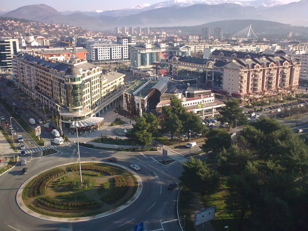
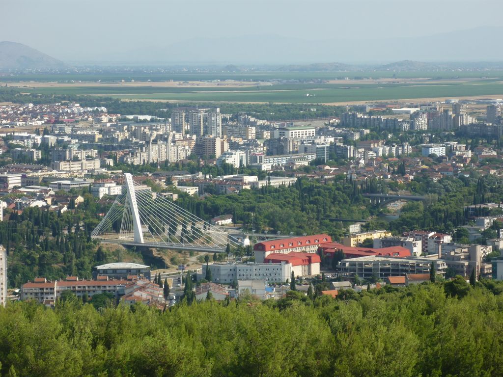
Podgorica (Montenegrin: Подгорица, pronounced [pǒdɡoritsa]; lit. 'under the hill') is the capital and largest city of Montenegro. The city is just north of Lake Skadar and close to coastal destinations on the Adriatic Sea. Historically, it was Podgorica's position at the confluence of the Ribnica and Morača rivers and at the meeting-point of the fertile Zeta Plain and Bjelopavlići Valley that encouraged settlement. The surrounding landscape is predominantly mountainous terrain. After World War II, Podgorica was first designated as the capital of Montenegro in 1946. At that time, it was renamed Titograd in honor of Josip Broz Tito, the leader of Yugoslavia. It served as the capital of the Socialist Republic of Montenegro within the Socialist Federal Republic of Yugoslavia until Montenegro's declaration of independence in 2006, after which it was reaffirmed as the capital of an independent Montenegro. The city's original name, Podgorica, was restored in 1992 following the dissolution of Yugoslavia. The economy of Podgorica is based on a mix of industries, including manufacturing, trade, and services. The city has seen a rise in the IT sector, with numerous startups and tech companies emerging. Podgorica serves as a central hub for Montenegro's transportation network, with an extensive road and rail system and the nearby Podgorica Airport. Tourism is also a growing sector, with the city being a gateway to Montenegro's natural and cultural attractions. Podgorica is home to the University of Montenegro, the largest and most significant educational institution in the country. The city's cultural institutions include the Montenegrin National Theatre, the Natural History Museum of Montenegro, and several galleries and libraries. About one-third of the city's area is composed of parks, gardens, and natural landscapes, including the nearby Gorica Hill. Prominent landmarks in Podgorica include the Millennium Bridge, the Clock Tower, and the Cathedral of the Resurrection of Christ. The city also features historical sites such as the ancient Roman settlement of Doclea and the old Ottoman town of Stara Varoš.
We use GPS information embedded into the photo when it is available.
3D mountains overlay
Adjust mountain panorama to perfectly match your photos because recorded by camera photo position might be imprecise.
Move tool
Rotate tool
Zoom
More customization
Choose which peak labels should make into the final photo and what photo title should be.
Next
Photo Location
Satellitte
Flat map
Relief map
Latitude
Longitude
Altitude
OR
Latitude
°'''
Longitude
°'''
Apply
Register Peak
Peak Name
Latitude
Longitude
Altitude
Register
Teleport
PeakVisor
This 3D model of Sagarmatha National Park in Nepal was made using the PeakVisor app topographic data. The mobile app features higher precision models worldwide, more topographic details, and works offline. Download PeakVisor maps today.
Download OBJ model
PeakVisor
The download should start shortly. If you find it useful please consider supporting the PeakVisor app.
PeakVisor for iOS and Android
Be a superhero of outdoor navigation with state-of-the-art 3D maps and mountain identification in the palm of your hand!