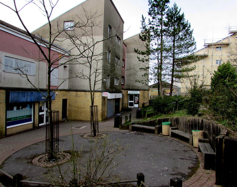
Penrhys is a village in the county borough of Rhondda Cynon Taf, Wales, situated on a hillside overlooking both valleys of Rhondda Fawr and Rhondda Fach. It is situated around 1,100 ft above sea level and is a district of Tylorstown. Until the late 16th century, Penrhys was an important Christian pilgrimage site. The site of Penrhys has a rich religious history dating back to medieval times, though few settlements other than farmsteads can be traced to the area. Penrhys is significant for a medieval monastery, the shrine of "Our Lady" built at the holy spring of Ffynnon Fair. During the early 16th century the antiquarian John Leland wrote during his visit to the area that he saw "Penrise Village, where the Pilgrimage was", suggesting that a settlement had built up in the area. In 1538 the shrine was destroyed during the English Reformation, and the area appeared to fall into decline. With the arrival of industrialisation in the Rhondda Valley during the 19th century interest in the religious history of Penrhys increased. An archaeological dig at the old chapel was carried out in 1912 and a new statue of the Virgin Mary was unveiled in 1953. In February 1927 the first burial took place at Penrhys cemetery.
Show more
Sun and Moon
Mon
Tue
Wed
Thu
Fri
Sat
Sun
May 2022
Date and time
00:00
06:00
12:00
18:00
Today
--
--
Sunrise
--
Sunset
--
Moonrise
--
Moonset
Phase
🌔 Waxing Gibbous
The perfect light time for beautiful photos:
--
Sunrise
--
Sunset
PeakVisor app
Get the app on your smartphone
New Panorama Tools
Trace location on the map
Measure distances
All the instruments are available in the context menu as well.
We use GPS information embedded into the photo when it is available.
3D mountains overlay
Adjust mountain panorama to perfectly match your photos because recorded by camera photo position might be imprecise.
Move tool
Rotate tool
Zoom
More customization
Choose which peak labels should make into the final photo and what photo title should be.
Next
Photo Location
Satellitte
Flat map
Relief map
Latitude
Longitude
Altitude
OR
Latitude
°'''
Longitude
°'''
Apply
Register Peak
Peak Name
Latitude
Longitude
Altitude
Register
Teleport
PeakVisor
This 3D model of Sagarmatha National Park in Nepal was made using the PeakVisor app topographic data. The mobile app features higher precision models worldwide, more topographic details, and works offline. Download PeakVisor maps today.
Download OBJ model
PeakVisor
The download should start shortly. If you find it useful please consider supporting the PeakVisor app.
PeakVisor for iOS and Android
Be a superhero of outdoor navigation with state-of-the-art 3D maps and mountain identification in the palm of your hand!