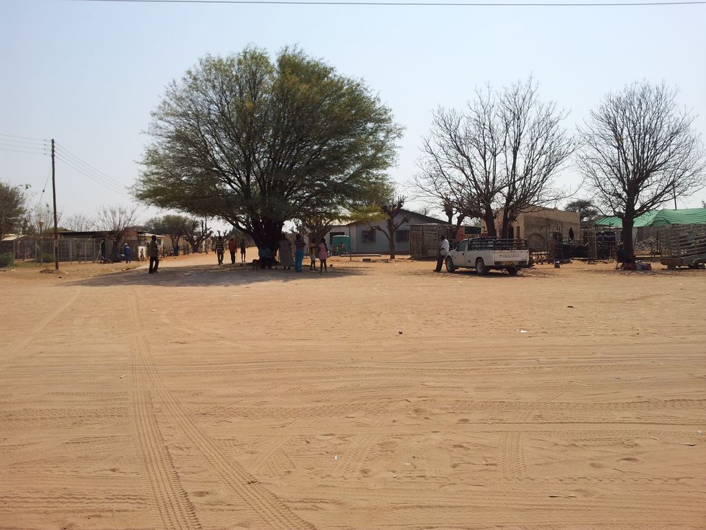
Otjinene is a village in the Omaheke Region of Namibia. It is the district capital of the Otjinene Constituency. Otjinene is connected via a 157 kilometres (98 mi) tarred road to the regional capital Gobabis, and via a 227 kilometres (141 mi) road which was tarred in 2017, to Grootfontein. Otjinene is surrounded by a communal area, where there are many villages. There are more or less 20 households in each village. The majority of people around Otjinene are communal farmers, farming with cattle, goats and sheep. There is one health clinic which is operated by the Ministry of Health and Social Services, and a number of retail stores. c. 18 kilometres (11 mi) to the Northeast is the Ozombuzovindimba heritage site. This is the place where in 1904 Lothar von Trotha issued the extermination order against the OvaHerero and Nama people, starting the Herero and Namaqua Genocide which would kill about 80% of all OvaHerero. OvaHerero and OvaMbanderu people gather annually here to commemorate lives and deaths of their ancestors.
Show more
Sun and Moon
Mon
Tue
Wed
Thu
Fri
Sat
Sun
May 2022
Date and time
00:00
06:00
12:00
18:00
Today
--
--
Sunrise
--
Sunset
--
Moonrise
--
Moonset
Phase
🌔 Waxing Gibbous
The perfect light time for beautiful photos:
--
Sunrise
--
Sunset
PeakVisor app
Get the app on your smartphone
New Panorama Tools
Trace location on the map
Measure distances
All the instruments are available in the context menu as well.
We use GPS information embedded into the photo when it is available.
3D mountains overlay
Adjust mountain panorama to perfectly match your photos because recorded by camera photo position might be imprecise.
Move tool
Rotate tool
Zoom
More customization
Choose which peak labels should make into the final photo and what photo title should be.
Next
Photo Location
Satellitte
Flat map
Relief map
Latitude
Longitude
Altitude
OR
Latitude
°'''
Longitude
°'''
Apply
Register Peak
Peak Name
Latitude
Longitude
Altitude
Register
Teleport
PeakVisor
This 3D model of Sagarmatha National Park in Nepal was made using the PeakVisor app topographic data. The mobile app features higher precision models worldwide, more topographic details, and works offline. Download PeakVisor maps today.
Download OBJ model
PeakVisor
The download should start shortly. If you find it useful please consider supporting the PeakVisor app.
PeakVisor for iOS and Android
Be a superhero of outdoor navigation with state-of-the-art 3D maps and mountain identification in the palm of your hand!