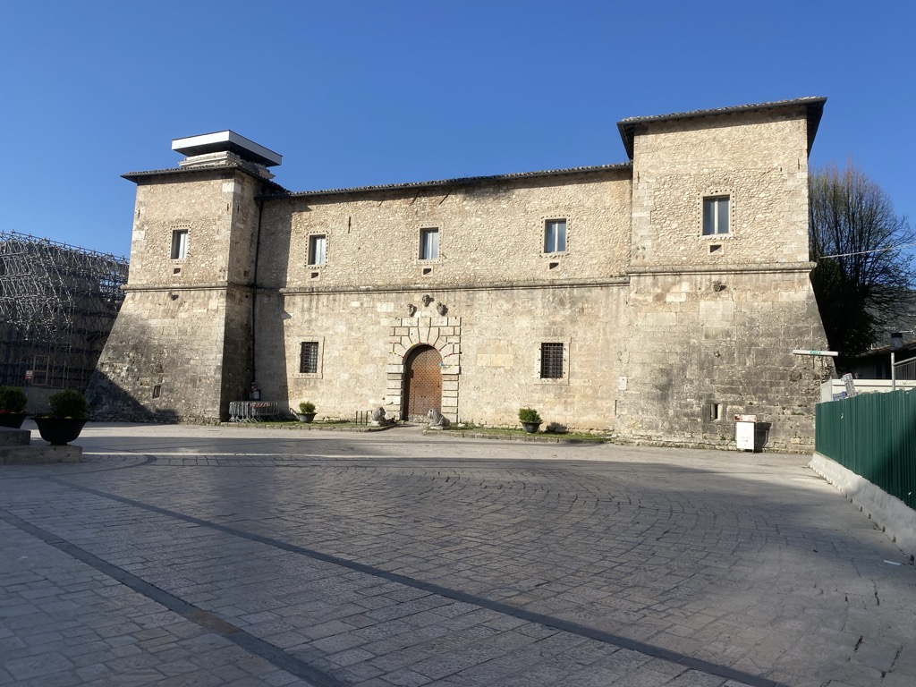
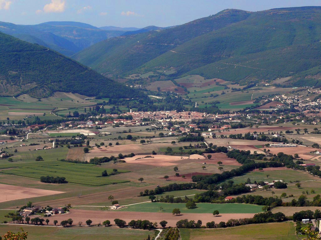
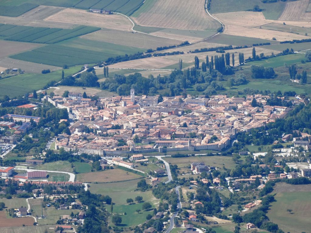
Norcia (Italian pronunciation: [ˈnɔrtʃa]), traditionally known in English by its Latin name of Nursia (), is a town and comune in the province of Perugia (Italy) in southeastern Umbria. Unlike many ancient towns, it is located in a wide plain abutting the Monti Sibillini, a subrange of the Apennines with some of its highest peaks, near the Sordo River, a small stream that eventually flows into the Nera. The town is popularly associated with the Valnerina (the valley of the Nera). It is a member of I Borghi più belli d'Italia ("The most beautiful villages of Italy"). The area is known for its air and scenery, and is a base for mountaineering and hiking. It is also widely known for hunting, especially of the wild boar, and for sausages and ham made from wild boar and pork. Such products have been named after Norcia; in Italian, they are called norcineria.
We use GPS information embedded into the photo when it is available.
3D mountains overlay
Adjust mountain panorama to perfectly match your photos because recorded by camera photo position might be imprecise.
Move tool
Rotate tool
Zoom
More customization
Choose which peak labels should make into the final photo and what photo title should be.
Next
Photo Location
Satellitte
Flat map
Relief map
Latitude
Longitude
Altitude
OR
Latitude
°'''
Longitude
°'''
Apply
Register Peak
Peak Name
Latitude
Longitude
Altitude
Register
Teleport
PeakVisor
This 3D model of Sagarmatha National Park in Nepal was made using the PeakVisor app topographic data. The mobile app features higher precision models worldwide, more topographic details, and works offline. Download PeakVisor maps today.
Download OBJ model
PeakVisor
The download should start shortly. If you find it useful please consider supporting the PeakVisor app.
PeakVisor for iOS and Android
Be a superhero of outdoor navigation with state-of-the-art 3D maps and mountain identification in the palm of your hand!