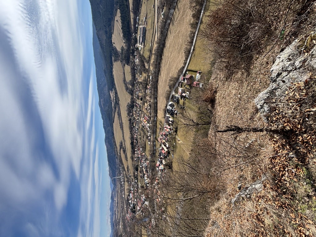
Nemecká (German: Deutschendorf an der Gran; Hungarian: Garamnémetfalva) is a village and municipality in Brezno District, in the Banská Bystrica Region of central Slovakia. The name, which can be translated as "German village", suggests villagers, or part of them, being of German origin. The first written mention of the village is from 1281. The villagers were mostly farmers and forest workers. Later, basic industries like limeworks, brickworks etc. developed in the area. From the 18th century on, many locals took part in door-to-door selling of laces, manufacturing of which also took place in the village. The village was a site of German atrocities during World War II aimed to suppress Slovak National Uprising. As many as 900 people were executed and their bodies burned in local lime kiln. The killings took 7 days (January 4–11, 1945). Responsible for the killings were members of German Einsatzkommando 14 led by Obersturmfuhrer Kurt Herbert Deffner and members of Slovak regime's Hlinka Guard led by captain Vojtech Kosovsky. The victims were participants of the uprising, their families and people from "proscribed races", i.e. Roma and Jews. A monument commemorating the massacre was built after World War II with a small exhibition opened to visitors all year long.
We use GPS information embedded into the photo when it is available.
3D mountains overlay
Adjust mountain panorama to perfectly match your photos because recorded by camera photo position might be imprecise.
Move tool
Rotate tool
Zoom
More customization
Choose which peak labels should make into the final photo and what photo title should be.
Next
Photo Location
Satellitte
Flat map
Relief map
Latitude
Longitude
Altitude
OR
Latitude
°'''
Longitude
°'''
Apply
Register Peak
Peak Name
Latitude
Longitude
Altitude
Register
Teleport
PeakVisor
This 3D model of Sagarmatha National Park in Nepal was made using the PeakVisor app topographic data. The mobile app features higher precision models worldwide, more topographic details, and works offline. Download PeakVisor maps today.
Download OBJ model
PeakVisor
The download should start shortly. If you find it useful please consider supporting the PeakVisor app.
PeakVisor for iOS and Android
Be a superhero of outdoor navigation with state-of-the-art 3D maps and mountain identification in the palm of your hand!