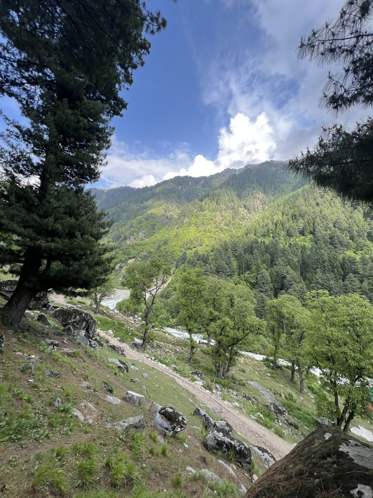
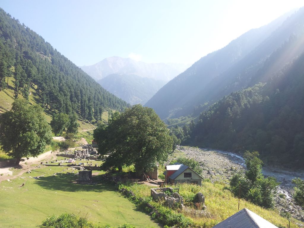
Naranag or (Nara Nag) is a tourist village and ancient Hindu pilgrimage site, near Ganderbal town in the Ganderbal district of the Kashmir Valley in Jammu and Kashmir, India. Well known for its ancient but pillaged temple ruins complex, it is located around 16 km from Kangan, 10 km upstream from the Sind River. Noted for its scenic meadows, lakes and mountains, it is a base camp for trekking to the Mount Haramukh 16,870 ft (5,142 metres) and Gangabal Lake. The village lies at the left bank of the Wangath river, which is a tributary of the Sind River. Tourism hut at Naranag for any information and assistance tourism officials are available and hut is also provide for accommodation.
We use GPS information embedded into the photo when it is available.
3D mountains overlay
Adjust mountain panorama to perfectly match your photos because recorded by camera photo position might be imprecise.
Move tool
Rotate tool
Zoom
More customization
Choose which peak labels should make into the final photo and what photo title should be.
Next
Photo Location
Satellitte
Flat map
Relief map
Latitude
Longitude
Altitude
OR
Latitude
°'''
Longitude
°'''
Apply
Register Peak
Peak Name
Latitude
Longitude
Altitude
Register
Teleport
PeakVisor
This 3D model of Sagarmatha National Park in Nepal was made using the PeakVisor app topographic data. The mobile app features higher precision models worldwide, more topographic details, and works offline. Download PeakVisor maps today.
Download OBJ model
PeakVisor
The download should start shortly. If you find it useful please consider supporting the PeakVisor app.
PeakVisor for iOS and Android
Be a superhero of outdoor navigation with state-of-the-art 3D maps and mountain identification in the palm of your hand!